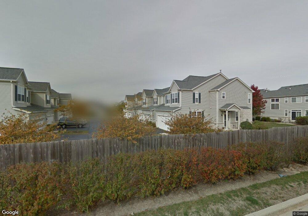
289 Robin Glen Ln South Elgin, IL 60177
Thornwood NeighborhoodEstimated Value: $317,000 - $340,000
2
Beds
3
Baths
1,347
Sq Ft
$242/Sq Ft
Est. Value
About This Home
This home is located at 289 Robin Glen Ln, South Elgin, IL 60177 and is currently estimated at $326,544, approximately $242 per square foot. 289 Robin Glen Ln is a home located in Kane County with nearby schools including Corron Elementary School, Wredling Middle School, and St Charles North High School.
Ownership History
Date
Name
Owned For
Owner Type
Purchase Details
Closed on
Jun 11, 2004
Sold by
Neumann Homes Inc
Bought by
Gibson William D and Gibson David W
Current Estimated Value
Home Financials for this Owner
Home Financials are based on the most recent Mortgage that was taken out on this home.
Original Mortgage
$191,936
Outstanding Balance
$96,707
Interest Rate
6.46%
Mortgage Type
FHA
Estimated Equity
$229,837
Create a Home Valuation Report for This Property
The Home Valuation Report is an in-depth analysis detailing your home's value as well as a comparison with similar homes in the area
Home Values in the Area
Average Home Value in this Area
Purchase History
| Date | Buyer | Sale Price | Title Company |
|---|---|---|---|
| Gibson William D | $195,000 | Chicago Title Insurance Comp |
Source: Public Records
Mortgage History
| Date | Status | Borrower | Loan Amount |
|---|---|---|---|
| Open | Gibson William D | $191,936 |
Source: Public Records
Tax History Compared to Growth
Tax History
| Year | Tax Paid | Tax Assessment Tax Assessment Total Assessment is a certain percentage of the fair market value that is determined by local assessors to be the total taxable value of land and additions on the property. | Land | Improvement |
|---|---|---|---|---|
| 2024 | $5,821 | $84,364 | $19,760 | $64,604 |
| 2023 | $5,563 | $76,217 | $17,852 | $58,365 |
| 2022 | $5,248 | $69,497 | $16,278 | $53,219 |
| 2021 | $4,925 | $64,975 | $15,219 | $49,756 |
| 2020 | $4,762 | $62,029 | $14,529 | $47,500 |
| 2019 | $4,532 | $59,087 | $13,840 | $45,247 |
| 2018 | $4,734 | $61,092 | $13,038 | $48,054 |
| 2017 | $4,399 | $57,754 | $12,326 | $45,428 |
| 2016 | $4,399 | $53,580 | $11,435 | $42,145 |
| 2015 | -- | $49,111 | $10,481 | $38,630 |
| 2014 | -- | $42,961 | $10,352 | $32,609 |
| 2013 | -- | $44,094 | $10,625 | $33,469 |
Source: Public Records
Map
Nearby Homes
- 284 Nicole Dr Unit C
- 675 Oak Ln
- 598 Lake Ridge Dr
- 2538 Hatfield Ct
- 2440 Daybreak Ct
- 2452 Daybreak Ct Unit 2452
- 2437 Daybreak Ct
- 552 Waters Edge Dr
- 8N465 Shady Ln
- 4 Persimmon Ln
- 1251 Lansbrook Dr
- 731 Lake Ridge Dr
- 3547 Doral Dr
- 7N949 Stevens Rd
- 852 Sunrise Dr
- 2550 Stony Ln
- 2193 W Thornwood Dr
- 1828 Coralito Ln
- 1077 Crane Point
- 7N919 Cloverfield Rd
- 291 Robin Glen Ln
- 287 Robin Glen Ln
- 293 Robin Glen Ln
- 285 Robin Glen Ln
- 279 Robin Glen Ln
- 277 Robin Glen Ln
- 299 Robin Glen Ln
- 297 Robin Glen Ln
- 281 Robin Glen Ln
- 301 Robin Glen Ln
- 275 Robin Glen Ln
- 295 Robin Glen Ln
- 283 Robin Glen Ln
- 283 Robin Glen Ln Unit END
- 303 Robin Glen Ln
- 2031 Holt Ln
- 305 Robin Glen Ln
- 307 Robin Glen Ln
- 311 Robin Glen Ln
- 2034 Holt Ln