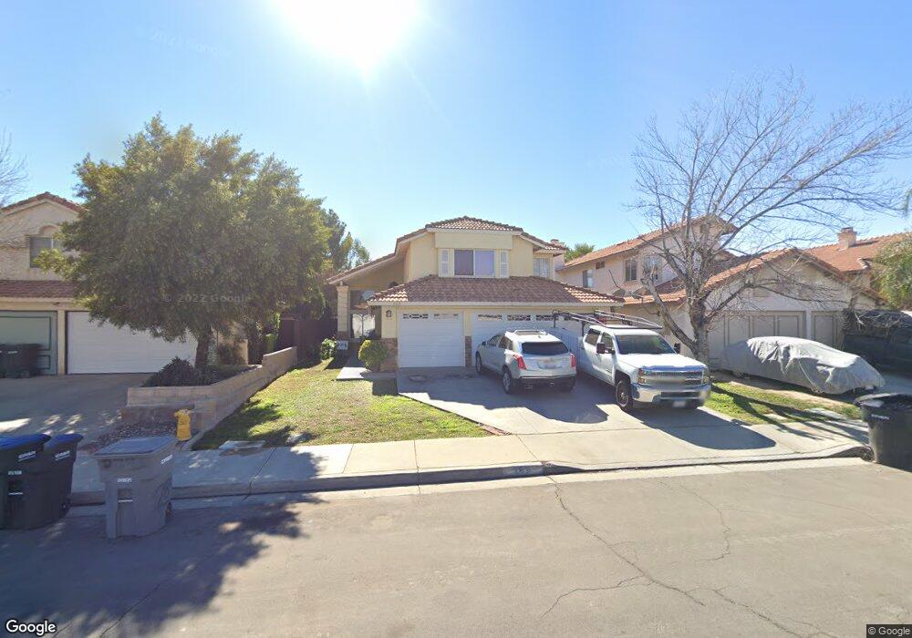
289 Tahoe St Perris, CA 92571
Central Perris NeighborhoodEstimated Value: $529,000 - $566,000
5
Beds
4
Baths
2,054
Sq Ft
$265/Sq Ft
Est. Value
About This Home
This home is located at 289 Tahoe St, Perris, CA 92571 and is currently estimated at $545,028, approximately $265 per square foot. 289 Tahoe St is a home located in Riverside County with nearby schools including Palms Elementary School, Pinacate Middle School, and Perris High School.
Ownership History
Date
Name
Owned For
Owner Type
Purchase Details
Closed on
Jul 31, 2020
Sold by
Smith Frederick Scott and Smith Jennell Morris
Bought by
Smith Frederick Scott and Smith Jennell Morris
Current Estimated Value
Purchase Details
Closed on
Aug 4, 2014
Sold by
Smith Bethany Viola
Bought by
Smith Frederick Scott
Purchase Details
Closed on
Apr 17, 2014
Sold by
Smith Debra A
Bought by
Smith Bethany Viola
Purchase Details
Closed on
Apr 3, 2014
Sold by
Thompson Smith Debra A
Bought by
Smith Bethany Viola
Create a Home Valuation Report for This Property
The Home Valuation Report is an in-depth analysis detailing your home's value as well as a comparison with similar homes in the area
Home Values in the Area
Average Home Value in this Area
Purchase History
| Date | Buyer | Sale Price | Title Company |
|---|---|---|---|
| Smith Frederick Scott | -- | None Available | |
| Smith Frederick Scott | -- | None Available | |
| Smith Frederick Scott | -- | None Available | |
| Smith Bethany Viola | -- | None Available | |
| Smith Bethany Viola | -- | None Available |
Source: Public Records
Tax History
| Year | Tax Paid | Tax Assessment Tax Assessment Total Assessment is a certain percentage of the fair market value that is determined by local assessors to be the total taxable value of land and additions on the property. | Land | Improvement |
|---|---|---|---|---|
| 2025 | $4,116 | $300,451 | $90,132 | $210,319 |
| 2023 | $4,116 | $288,786 | $86,633 | $202,153 |
| 2022 | $3,808 | $283,125 | $84,935 | $198,190 |
| 2021 | $3,419 | $277,574 | $83,270 | $194,304 |
| 2020 | $3,378 | $274,729 | $82,418 | $192,311 |
| 2019 | $3,303 | $269,343 | $80,802 | $188,541 |
| 2018 | $3,160 | $264,063 | $79,218 | $184,845 |
| 2017 | $3,470 | $258,886 | $77,665 | $181,221 |
| 2016 | $3,437 | $253,811 | $76,143 | $177,668 |
| 2015 | $3,399 | $250,000 | $75,000 | $175,000 |
| 2014 | $3,005 | $222,155 | $51,484 | $170,671 |
Source: Public Records
Map
Nearby Homes
- 544 Turquoise Dr
- 1562 Remembrance Dr
- 129 Olivetree Dr
- 1829 Springtree Dr
- 1509 Portrait St
- 21500 Orange Creek Rd
- 1491 Portrait St
- 507 Coudures Way
- 1510 Ashbury Way
- 1900 Summertree Dr
- 1942 Sandcastle Dr
- 2248 Ridge Ct
- 1455 Remembrance Dr
- 1486 Olivecrest Way
- 560 Coudures Way
- 316 Randy Ln
- 1462 Apple Creek Dr
- 122 E Bowen Rd
- 338 Mildred St
- 344 Mildred St
Your Personal Tour Guide
Ask me questions while you tour the home.