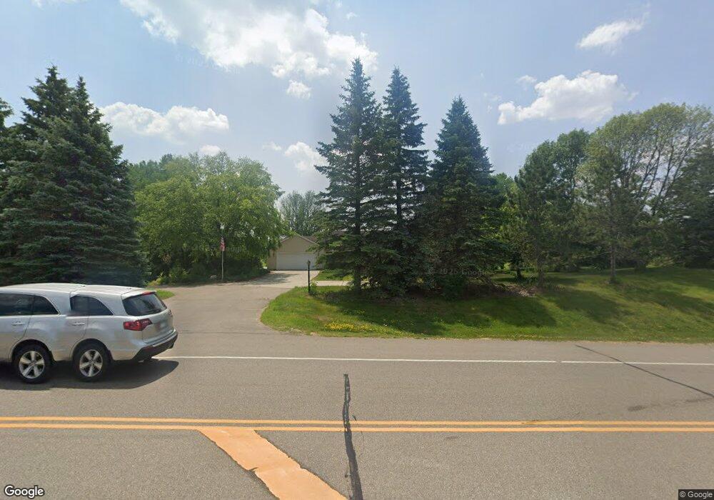
2890 McAndrews Rd Rosemount, MN 55068
Estimated Value: $608,076 - $752,000
4
Beds
3
Baths
1,696
Sq Ft
$407/Sq Ft
Est. Value
About This Home
This home is located at 2890 McAndrews Rd, Rosemount, MN 55068 and is currently estimated at $689,519, approximately $406 per square foot. 2890 McAndrews Rd is a home located in Dakota County with nearby schools including Red Pine Elementary School, Rosemount Middle School, and Rosemount Senior High School.
Ownership History
Date
Name
Owned For
Owner Type
Purchase Details
Closed on
Jul 29, 2008
Sold by
Erdrich Connie M
Bought by
Hosking Robert R
Current Estimated Value
Home Financials for this Owner
Home Financials are based on the most recent Mortgage that was taken out on this home.
Original Mortgage
$360,000
Interest Rate
6.5%
Mortgage Type
Purchase Money Mortgage
Create a Home Valuation Report for This Property
The Home Valuation Report is an in-depth analysis detailing your home's value as well as a comparison with similar homes in the area
Home Values in the Area
Average Home Value in this Area
Purchase History
| Date | Buyer | Sale Price | Title Company |
|---|---|---|---|
| Hosking Robert R | $450,000 | -- |
Source: Public Records
Mortgage History
| Date | Status | Borrower | Loan Amount |
|---|---|---|---|
| Closed | Hosking Robert R | $360,000 |
Source: Public Records
Tax History
| Year | Tax Paid | Tax Assessment Tax Assessment Total Assessment is a certain percentage of the fair market value that is determined by local assessors to be the total taxable value of land and additions on the property. | Land | Improvement |
|---|---|---|---|---|
| 2024 | $6,148 | $577,400 | $207,800 | $369,600 |
| 2023 | $6,148 | $555,800 | $210,100 | $345,700 |
| 2022 | $5,420 | $550,400 | $209,300 | $341,100 |
| 2021 | $5,160 | $477,000 | $195,000 | $282,000 |
| 2020 | $5,698 | $443,900 | $185,700 | $258,200 |
| 2019 | $5,469 | $471,000 | $176,900 | $294,100 |
| 2018 | $5,475 | $472,500 | $168,500 | $304,000 |
| 2017 | $5,245 | $456,600 | $160,500 | $296,100 |
| 2016 | $5,112 | $418,100 | $176,400 | $241,700 |
| 2015 | $4,849 | $398,760 | $170,669 | $228,091 |
| 2014 | -- | $376,524 | $160,687 | $215,837 |
| 2013 | -- | $358,757 | $147,927 | $210,830 |
Source: Public Records
Map
Nearby Homes
- 2903 125th Ct W
- 12470 Blanca Ave W
- 4982 Dodd Rd
- 4951 Parkside Cir
- 4978 Dodd Rd
- 4950 Parkside Cir
- 4938 Parkside Cir
- 4928 Parkside Cir
- 637 Remington Ct
- 4927 Parkside Cir
- 4955 Parkside Cir
- 636 Parkside Ct
- 635 Parkside Ct
- 631 Parkside Ct
- 13341 Cadogan Way
- 13351 Cadogan Way
- 13360 Cadogan Way
- 13371 Cadogan Way
- 13370 Cadogan Way
- 13381 Cadogan Way
- 2990 McAndrews Rd
- 2700 125th Ct W
- 2740 125th Ct W
- 12605 S Robert Trail
- 2780 125th Ct W
- 2780 125th St W
- 12675 S Robert Trail
- 12550 S Robert Trail
- 12600 S Robert Trail
- 2823 125th Ct W
- 12391 Dodd Blvd
- 2820 125th Ct W
- 2743 125th Ct W
- 12610 S Robert Trail
- 2680 125th St W
- 12552 S Robert Trail
- 2680 2680 125th-Street-w
- 2860 125th Ct W
- 2660 125th St W
- 2863 125th Ct W
Your Personal Tour Guide
Ask me questions while you tour the home.