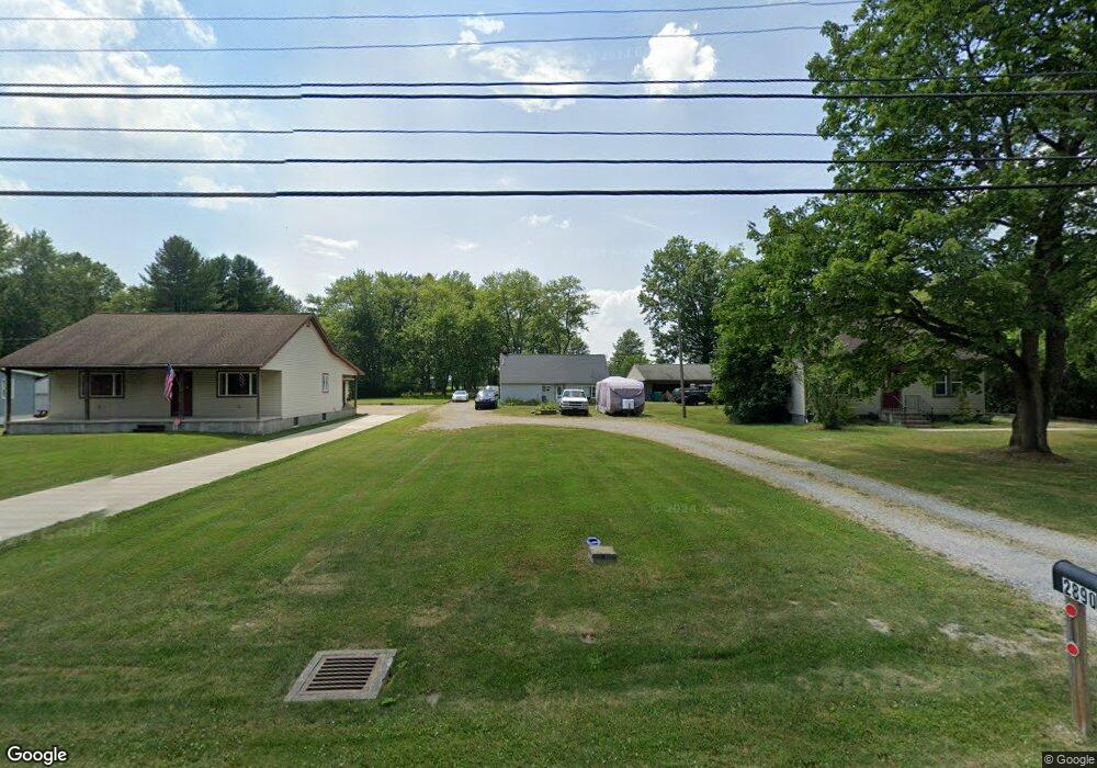
2890 S Canfield Niles Rd Youngstown, OH 44515
Austintown NeighborhoodEstimated Value: $122,000 - $155,000
2
Beds
1
Bath
816
Sq Ft
$165/Sq Ft
Est. Value
About This Home
This home is located at 2890 S Canfield Niles Rd, Youngstown, OH 44515 and is currently estimated at $134,522, approximately $164 per square foot. 2890 S Canfield Niles Rd is a home located in Mahoning County with nearby schools including Austintown Elementary School, Austintown Intermediate School, and Austintown Middle School.
Ownership History
Date
Name
Owned For
Owner Type
Purchase Details
Closed on
Jul 14, 2022
Bought by
Perez Walter H
Current Estimated Value
Purchase Details
Closed on
Jun 1, 2022
Sold by
Brush Dawn A
Bought by
Perez Walter H
Purchase Details
Closed on
Sep 28, 2005
Sold by
Staffrey Gary C and Staffrey Christine
Bought by
Perez Walter H and Brush Dawn A
Home Financials for this Owner
Home Financials are based on the most recent Mortgage that was taken out on this home.
Original Mortgage
$75,905
Interest Rate
5.93%
Mortgage Type
Fannie Mae Freddie Mac
Purchase Details
Closed on
Nov 9, 2004
Sold by
Federal Home Loan Mortgage Corporation
Bought by
Staffrey Gary C
Purchase Details
Closed on
Oct 8, 2004
Sold by
Clark Thomas and Abn Amro Mtg Group Inc
Bought by
Federal Home Loan Mortgage Corporation
Purchase Details
Closed on
Aug 24, 1983
Bought by
Clark Thomas J
Create a Home Valuation Report for This Property
The Home Valuation Report is an in-depth analysis detailing your home's value as well as a comparison with similar homes in the area
Home Values in the Area
Average Home Value in this Area
Purchase History
| Date | Buyer | Sale Price | Title Company |
|---|---|---|---|
| Perez Walter H | -- | -- | |
| Perez Walter H | -- | None Listed On Document | |
| Perez Walter H | $79,000 | -- | |
| Staffrey Gary C | -- | -- | |
| Federal Home Loan Mortgage Corporation | $28,000 | -- | |
| Clark Thomas J | -- | -- |
Source: Public Records
Mortgage History
| Date | Status | Borrower | Loan Amount |
|---|---|---|---|
| Previous Owner | Perez Walter H | $75,905 |
Source: Public Records
Tax History Compared to Growth
Tax History
| Year | Tax Paid | Tax Assessment Tax Assessment Total Assessment is a certain percentage of the fair market value that is determined by local assessors to be the total taxable value of land and additions on the property. | Land | Improvement |
|---|---|---|---|---|
| 2024 | $1,027 | $22,390 | $7,390 | $15,000 |
| 2023 | $1,011 | $22,390 | $7,390 | $15,000 |
| 2022 | $953 | $16,920 | $7,390 | $9,530 |
| 2021 | $953 | $16,920 | $7,390 | $9,530 |
| 2020 | $957 | $16,920 | $7,390 | $9,530 |
| 2019 | $1,052 | $16,920 | $7,390 | $9,530 |
| 2018 | $1,012 | $16,920 | $7,390 | $9,530 |
| 2017 | $963 | $16,920 | $7,390 | $9,530 |
| 2016 | $917 | $15,210 | $5,370 | $9,840 |
| 2015 | $889 | $15,210 | $5,370 | $9,840 |
| 2014 | $893 | $15,210 | $5,370 | $9,840 |
| 2013 | $883 | $15,210 | $5,370 | $9,840 |
Source: Public Records
Map
Nearby Homes
- 2792 S Canfield Niles Rd
- 3270 S Canfield Niles Rd
- 5285 Kirk Rd
- 2211 Penny Ln
- 5678 Cider Mill Crossing
- 3475 42nd St
- 3481 Forty Second St
- 5256 S Saratoga Ave
- 4674 Barrington Dr
- 1707 Westhampton Dr
- 701 Oberlin Place
- 5179 Willow Crest Ave
- 4689 Crabwood Dr
- 4815 New Rd
- 2493 Frostwood Dr
- 6488 S Timberidge Dr
- 2414 Ardenwood Place
- 6581 Country Ridge Ave
- 5318 Pinecrest Ave
- 3695 High Meadow Dr
- 2900 S Canfield Niles Rd
- 2888 S Canfield Niles Rd
- 2908 S Canfield Niles Rd
- 2916 S Canfield Niles Rd
- 2932 S Canfield Niles Rd
- 2762 S Canfield Niles Rd
- 2831 S Canfield Niles Rd
- 2791 S Canfield Niles Rd
- 2732 S Canfield Niles Rd
- 2739 S Canfield Niles Rd
- 2722 S Canfield Niles Rd
- 2911 S Canfield Niles Rd
- 2723 S Canfield Niles Rd
- 2710 S Canfield Niles Rd
- 2692 S Canfield Niles Rd
- 2711 S Canfield Niles Rd
- 5560 Kirk Rd
- 2691 S Canfield Niles Rd
- 2690 S Canfield Niles Rd
- 2705 S Canfield Niles Rd