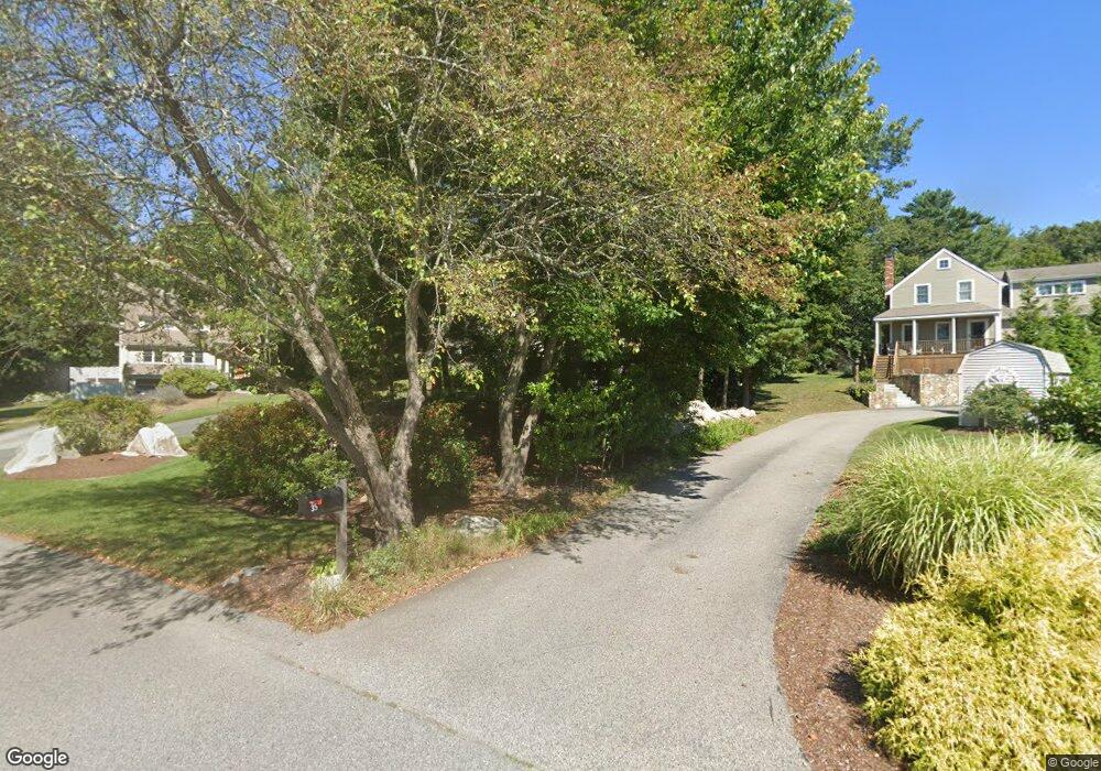
29 Aaron River Rd Cohasset, MA 02025
Estimated Value: $1,427,000 - $1,773,000
4
Beds
3
Baths
3,544
Sq Ft
$443/Sq Ft
Est. Value
About This Home
This home is located at 29 Aaron River Rd, Cohasset, MA 02025 and is currently estimated at $1,569,191, approximately $442 per square foot. 29 Aaron River Rd is a home located in Norfolk County with nearby schools including Joseph Osgood School, Deer Hill School, and Cohasset Middle School.
Ownership History
Date
Name
Owned For
Owner Type
Purchase Details
Closed on
Apr 16, 2010
Sold by
Curry David H and Curry Mary E
Bought by
Rattenbury Mark F and Rattenbury Janet A
Current Estimated Value
Home Financials for this Owner
Home Financials are based on the most recent Mortgage that was taken out on this home.
Original Mortgage
$105,000
Interest Rate
4.97%
Mortgage Type
Purchase Money Mortgage
Create a Home Valuation Report for This Property
The Home Valuation Report is an in-depth analysis detailing your home's value as well as a comparison with similar homes in the area
Home Values in the Area
Average Home Value in this Area
Purchase History
| Date | Buyer | Sale Price | Title Company |
|---|---|---|---|
| Rattenbury Mark F | $665,000 | -- | |
| Rattenbury Mark F | $665,000 | -- |
Source: Public Records
Mortgage History
| Date | Status | Borrower | Loan Amount |
|---|---|---|---|
| Open | Rattenbury Mark F | $147,000 | |
| Closed | Rattenbury Mark F | $105,000 |
Source: Public Records
Tax History Compared to Growth
Tax History
| Year | Tax Paid | Tax Assessment Tax Assessment Total Assessment is a certain percentage of the fair market value that is determined by local assessors to be the total taxable value of land and additions on the property. | Land | Improvement |
|---|---|---|---|---|
| 2025 | $14,150 | $1,221,900 | $667,400 | $554,500 |
| 2024 | $13,694 | $1,125,200 | $556,300 | $568,900 |
| 2023 | $13,264 | $1,124,100 | $556,300 | $567,800 |
| 2022 | $11,167 | $889,100 | $364,400 | $524,700 |
| 2021 | $10,122 | $776,200 | $364,400 | $411,800 |
| 2020 | $10,067 | $776,200 | $364,400 | $411,800 |
| 2019 | $10,013 | $776,200 | $364,400 | $411,800 |
| 2018 | $9,928 | $776,200 | $364,400 | $411,800 |
| 2017 | $10,298 | $788,500 | $331,300 | $457,200 |
| 2016 | $9,730 | $755,400 | $298,200 | $457,200 |
| 2015 | $9,414 | $740,700 | $283,500 | $457,200 |
| 2014 | $9,288 | $740,700 | $283,500 | $457,200 |
Source: Public Records
Map
Nearby Homes
- 94 Arrowwood Dr
- 18 Kevin's Way Unit 18
- 165 R Summer St
- 0 Bates Ln (Lot E Kevin's Way) Unit 73419598
- 449 Clapp Rd
- 455 Clapp Rd
- 453 Clapp Rd
- 451 Clapp Rd
- 453 - 455 Clapp Rd
- 8 Trudys Ln
- 334 Summer St
- 22 Forest Ln Unit 22
- 46 Pond St
- 764 First Parish Rd
- 11 Forest Ln
- 9 Forest Ln Unit 9
- 100 Pond St Unit 10
- 0 Mount Blue St
- 817 Country Way
- 40 Beechwood St
- 21 Aaron River Rd
- 35 Aaron River Rd
- 33 Aaron River Rd
- 9A Church St
- 9 Church St
- 37 Aaron River Rd
- 25 Church St
- 36 Aaron River Rd
- 41 Aaron River Rd
- 30 Aaron River Rd
- 37 Church St
- 42 Aaron River Rd
- 49 Aaron River Rd
- 40 Aaron River Rd
- 23 Church St
- 558 Beechwood St
- 27 Flintlock Ridge Rd
- 552 Beechwood St
- 29 Church St
- 17 Church St