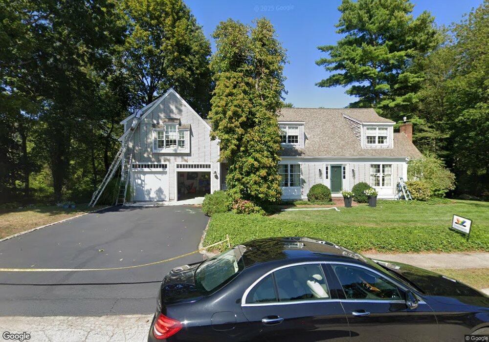
29 Captain Daniel Litchfield Ln Scituate, MA 02066
Estimated Value: $1,105,000 - $1,352,000
4
Beds
3
Baths
2,498
Sq Ft
$493/Sq Ft
Est. Value
About This Home
This home is located at 29 Captain Daniel Litchfield Ln, Scituate, MA 02066 and is currently estimated at $1,231,072, approximately $492 per square foot. 29 Captain Daniel Litchfield Ln is a home located in Plymouth County with nearby schools including Hatherly Elementary School, Lester J. Gates Middle School, and Scituate High School.
Ownership History
Date
Name
Owned For
Owner Type
Purchase Details
Closed on
Aug 21, 2023
Sold by
Groebel Robert E and Groebel Carol A
Bought by
29 Captain Daniel Litchfi and 29 Groebel
Current Estimated Value
Purchase Details
Closed on
Sep 16, 1993
Sold by
Four Seasons Rt and Winchester Walter K
Bought by
Groebel Robert E and Groebel Carol A
Create a Home Valuation Report for This Property
The Home Valuation Report is an in-depth analysis detailing your home's value as well as a comparison with similar homes in the area
Home Values in the Area
Average Home Value in this Area
Purchase History
| Date | Buyer | Sale Price | Title Company |
|---|---|---|---|
| 29 Captain Daniel Litchfi | -- | None Available | |
| Groebel Robert E | $322,000 | -- | |
| Groebel Robert E | $322,000 | -- |
Source: Public Records
Mortgage History
| Date | Status | Borrower | Loan Amount |
|---|---|---|---|
| Previous Owner | Groebel Robert E | $198,000 | |
| Previous Owner | Groebel Robert E | $100,000 |
Source: Public Records
Tax History Compared to Growth
Tax History
| Year | Tax Paid | Tax Assessment Tax Assessment Total Assessment is a certain percentage of the fair market value that is determined by local assessors to be the total taxable value of land and additions on the property. | Land | Improvement |
|---|---|---|---|---|
| 2025 | $10,882 | $1,089,300 | $471,100 | $618,200 |
| 2024 | $10,799 | $1,042,400 | $428,300 | $614,100 |
| 2023 | $10,427 | $936,800 | $390,600 | $546,200 |
| 2022 | $10,181 | $806,700 | $342,700 | $464,000 |
| 2021 | $9,670 | $725,400 | $326,400 | $399,000 |
| 2020 | $9,434 | $698,800 | $313,800 | $385,000 |
| 2019 | $9,279 | $675,300 | $307,600 | $367,700 |
| 2018 | $9,404 | $674,100 | $318,800 | $355,300 |
| 2017 | $9,498 | $674,100 | $318,800 | $355,300 |
| 2016 | $9,352 | $661,400 | $306,100 | $355,300 |
| 2015 | $8,664 | $661,400 | $306,100 | $355,300 |
Source: Public Records
Map
Nearby Homes
- 508 Beechwood St
- 94 Arrowwood Dr
- 0 Bates Ln (Lot E Kevin's Way) Unit 73419598
- 99 Doane St
- 449 Clapp Rd
- 455 Clapp Rd
- 453 Clapp Rd
- 451 Clapp Rd
- 453 - 455 Clapp Rd
- 342 Summer St
- 8 Trudys Ln
- 84 Booth Hill Rd
- 40 Brewster Rd
- 334 Summer St
- 11 Forest Ln
- 9 Forest Ln Unit 9
- 9 Kyle Path
- 817 Country Way
- 0 Mount Blue St
- 392 S Main St
- 18 Captain Daniel Litchfield Ln
- 28 Captain Daniel Litchfield Ln
- 28 Captain Daniel Litchfield Ln
- 28 Capt Daniel Litchfield Ln
- 15 Captain Daniel Litchfield Ln
- 3 Summer St
- 13 Indian Wind Dr
- 39 Indian Wind Dr
- 25 Indian Wind Dr
- 5 Capt Daniel Litchfield Ln
- 6 Captain Daniel Litchfield Ln
- 5 Captain Daniel Litchfield Ln
- 51 Indian Wind Dr
- 59 Indian Wind Dr
- 15 Carbone Ln
- 21 Carbone Ln
- 3 Indian Wind Dr
- 16 Indian Wind Dr
- 46 Indian Wind Dr
- 72 Church St