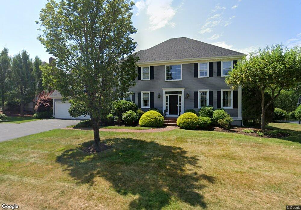
29 Cedar Springs Ln Needham, MA 02492
Estimated Value: $2,161,000 - $2,684,000
4
Beds
4
Baths
1,770
Sq Ft
$1,372/Sq Ft
Est. Value
About This Home
This home is located at 29 Cedar Springs Ln, Needham, MA 02492 and is currently estimated at $2,428,739, approximately $1,372 per square foot. 29 Cedar Springs Ln is a home located in Norfolk County with nearby schools including Newman Elementary School, High Rock Middle School, and Pollard Middle School.
Ownership History
Date
Name
Owned For
Owner Type
Purchase Details
Closed on
Sep 25, 1998
Sold by
Wolf Joel F and Wolf Patricia Mr
Bought by
Goodman Andrew S and Goodman Denise J
Current Estimated Value
Purchase Details
Closed on
Jun 13, 1996
Sold by
Brookside Rt
Bought by
Wolf Joel F and Wolf Patricia M R
Create a Home Valuation Report for This Property
The Home Valuation Report is an in-depth analysis detailing your home's value as well as a comparison with similar homes in the area
Home Values in the Area
Average Home Value in this Area
Purchase History
| Date | Buyer | Sale Price | Title Company |
|---|---|---|---|
| Goodman Andrew S | $767,500 | -- | |
| Goodman Andrew S | $767,500 | -- | |
| Wolf Joel F | $677,500 | -- | |
| Wolf Joel F | $677,500 | -- |
Source: Public Records
Mortgage History
| Date | Status | Borrower | Loan Amount |
|---|---|---|---|
| Open | Wolf Joel F | $404,000 | |
| Closed | Wolf Joel F | $409,000 |
Source: Public Records
Tax History Compared to Growth
Tax History
| Year | Tax Paid | Tax Assessment Tax Assessment Total Assessment is a certain percentage of the fair market value that is determined by local assessors to be the total taxable value of land and additions on the property. | Land | Improvement |
|---|---|---|---|---|
| 2025 | $22,107 | $2,085,600 | $1,111,400 | $974,200 |
| 2024 | $19,291 | $1,540,800 | $623,200 | $917,600 |
| 2023 | $19,158 | $1,469,200 | $623,200 | $846,000 |
| 2022 | $18,437 | $1,379,000 | $578,200 | $800,800 |
| 2021 | $17,968 | $1,379,000 | $578,200 | $800,800 |
| 2020 | $17,848 | $1,429,000 | $578,200 | $850,800 |
| 2019 | $16,942 | $1,367,400 | $527,100 | $840,300 |
| 2018 | $16,245 | $1,367,400 | $527,100 | $840,300 |
| 2017 | $14,946 | $1,257,000 | $527,100 | $729,900 |
| 2016 | $14,506 | $1,257,000 | $527,100 | $729,900 |
| 2015 | $14,192 | $1,257,000 | $527,100 | $729,900 |
| 2014 | $13,835 | $1,188,600 | $480,600 | $708,000 |
Source: Public Records
Map
Nearby Homes
- 29 Tolman St
- 24 Deerfield Rd
- 37 Carleton Dr
- 287 High Rock St
- 30 Richardson Dr
- 47 Emerson Rd
- 71 School St
- 1 Windsor Rd
- 233 Warren St
- 1780 Central Ave
- 34 Pershing Rd
- 365 Charles River St
- 154 Warren St
- 1266 South St
- 957 South St
- 46 Charles River St
- 445 Hillside Ave
- 1011 Webster St
- 90 Burr Dr
- 828 South St
- 21 Cedar Springs Ln
- 37 Cedar Springs Ln
- 24 Cedar Springs Ln
- 15 Cedar Springs Ln
- 34 Cedar Springs Ln
- 45 Cedar Springs Ln
- 1283 Central Ave
- 1275 Central Ave
- 42 Cedar Springs Ln
- 10 Cedar Springs Ln
- 50 Cedar Springs Ln
- 46 Cedar Springs Ln
- 1225 Central Ave
- 1297 Central Ave
- 1297 Central Ave Unit 1297
- 1262 Central Ave
- 28 Bellevue Dr
- 1252 Central Ave
- 1282 Central Ave
- 19 Bellevue Dr