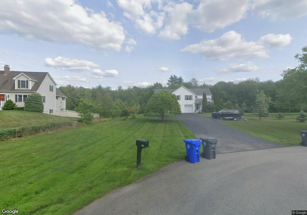
29 Geoffs Way Unit 2 Hampstead, NH 03841
Estimated Value: $426,000 - $695,725
3
Beds
3
Baths
2,493
Sq Ft
$227/Sq Ft
Est. Value
About This Home
This home is located at 29 Geoffs Way Unit 2, Hampstead, NH 03841 and is currently estimated at $566,931, approximately $227 per square foot. 29 Geoffs Way Unit 2 is a home located in Rockingham County with nearby schools including Hampstead Central School, Hampstead Middle School, and Pinkerton Academy.
Ownership History
Date
Name
Owned For
Owner Type
Purchase Details
Closed on
Dec 6, 2018
Sold by
Hagen Tina P
Bought by
Tina Pamela Hagen Ret
Current Estimated Value
Purchase Details
Closed on
May 3, 2005
Sold by
Wentworth Stephen M
Bought by
Hagen Tina P
Home Financials for this Owner
Home Financials are based on the most recent Mortgage that was taken out on this home.
Original Mortgage
$260,000
Interest Rate
5.95%
Create a Home Valuation Report for This Property
The Home Valuation Report is an in-depth analysis detailing your home's value as well as a comparison with similar homes in the area
Home Values in the Area
Average Home Value in this Area
Purchase History
| Date | Buyer | Sale Price | Title Company |
|---|---|---|---|
| Tina Pamela Hagen Ret | -- | -- | |
| Hagen Tina P | $325,000 | -- |
Source: Public Records
Mortgage History
| Date | Status | Borrower | Loan Amount |
|---|---|---|---|
| Previous Owner | Hagen Tina P | $260,000 |
Source: Public Records
Tax History Compared to Growth
Tax History
| Year | Tax Paid | Tax Assessment Tax Assessment Total Assessment is a certain percentage of the fair market value that is determined by local assessors to be the total taxable value of land and additions on the property. | Land | Improvement |
|---|---|---|---|---|
| 2024 | $7,410 | $399,700 | $0 | $399,700 |
| 2023 | $8,265 | $324,900 | $0 | $324,900 |
| 2022 | $7,694 | $324,900 | $0 | $324,900 |
| 2021 | $7,391 | $324,900 | $0 | $324,900 |
| 2020 | $7,002 | $324,900 | $0 | $324,900 |
| 2016 | $6,435 | $265,900 | $0 | $265,900 |
| 2015 | $5,964 | $265,900 | $0 | $265,900 |
| 2014 | $5,964 | $265,900 | $0 | $265,900 |
| 2006 | $5,249 | $289,700 | $0 | $289,700 |
Source: Public Records
Map
Nearby Homes
- 1 Cameron Ct Unit 1
- 50 Page Ln
- 37 Houstons Way
- 73 Drew Rd
- 4 Sheldon Rd
- 313 Main St
- 264 Hampstead Rd
- 10 Pinewood Dr
- 5 Sheldon Rd
- 156 Little Mill Rd Unit A
- 23 Stonegate Ln
- 33 Johnson Meadow Rd Unit A & B
- 20 Richardson Dr Unit R
- 19 Johnson Meadow Rd Unit A & B
- 5 Johnson Meadow Rd Unit A & B
- 36 Johnson Meadow Rd Unit A & B
- 20 Johnson Meadow Rd Unit A & B
- 6 Johnson Meadow Rd Unit A & B
- 30 Johnson Meadow Rd Unit A & B
- 8 Ians Path
- 29 Geoffs Way Unit 1
- 29 Geoff's Way Unit 1
- 30 Geoff's Way Unit 1
- 30 Geoffs Way Unit 2
- 30 Geoffs Way Unit 1
- 30 Geoffs Way Unit 2
- 30 Geoff's Way Unit 2
- 3 Shaker Ln
- 31 Depot Rd
- 25 Shaker Ln
- 18 Shaker Ln
- 7 Gabriel Ct
- 52 Depot Rd
- 24 Gingerbread Ln
- 11 Gabriel Ct
- 40 Redcoat Dr
- 34 Shaker Ln
- 39 Redcoat Dr
- 1 Shaker Ln
- 21 Gingerbread Ln