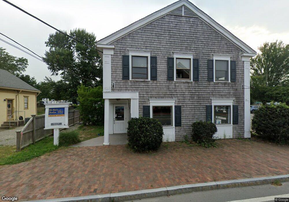
29 Main St Unit 4 Orleans, MA 2653
Estimated Value: $296,729
Studio
--
Bath
850
Sq Ft
$349/Sq Ft
Est. Value
About This Home
This home is located at 29 Main St Unit 4, Orleans, MA 2653 and is currently estimated at $296,729, approximately $349 per square foot. 29 Main St Unit 4 is a home located in Barnstable County with nearby schools including Orleans Elementary School, Nauset Regional Middle School, and Nauset Regional High School.
Ownership History
Date
Name
Owned For
Owner Type
Purchase Details
Closed on
Feb 14, 2022
Sold by
Prosperdesk Llc
Bought by
J & D Group Llc
Current Estimated Value
Home Financials for this Owner
Home Financials are based on the most recent Mortgage that was taken out on this home.
Original Mortgage
$200,000
Outstanding Balance
$185,029
Interest Rate
3.56%
Mortgage Type
Purchase Money Mortgage
Estimated Equity
$111,700
Purchase Details
Closed on
May 1, 2017
Sold by
Main Street Orleans Ll
Bought by
Prosperdesk Llc
Create a Home Valuation Report for This Property
The Home Valuation Report is an in-depth analysis detailing your home's value as well as a comparison with similar homes in the area
Home Values in the Area
Average Home Value in this Area
Purchase History
| Date | Buyer | Sale Price | Title Company |
|---|---|---|---|
| J & D Group Llc | $235,000 | None Available | |
| Prosperdesk Llc | $485,000 | -- |
Source: Public Records
Mortgage History
| Date | Status | Borrower | Loan Amount |
|---|---|---|---|
| Open | J & D Group Llc | $200,000 |
Source: Public Records
Tax History
| Year | Tax Paid | Tax Assessment Tax Assessment Total Assessment is a certain percentage of the fair market value that is determined by local assessors to be the total taxable value of land and additions on the property. | Land | Improvement |
|---|---|---|---|---|
| 2025 | $1,482 | $237,500 | $0 | $237,500 |
| 2024 | $1,417 | $221,100 | $0 | $221,100 |
| 2023 | $1,377 | $221,100 | $0 | $221,100 |
| 2022 | $1,592 | $221,100 | $0 | $221,100 |
| 2021 | $1,615 | $206,000 | $0 | $206,000 |
| 2020 | $1,557 | $206,000 | $0 | $206,000 |
| 2019 | $1,524 | $206,000 | $0 | $206,000 |
| 2018 | $1,366 | $206,000 | $0 | $206,000 |
| 2017 | $1,304 | $206,000 | $0 | $206,000 |
| 2016 | $1,302 | $201,500 | $0 | $201,500 |
| 2015 | $1,294 | $201,500 | $0 | $201,500 |
Source: Public Records
Map
Nearby Homes
- 36 Old Colony Way Unit 21
- 36 Old Colony Way Unit 3022
- 42 Old Colony Way Unit 15
- 42 Old Colony Way Unit 29
- 42 Old Colony Way Unit 30
- 42 Old Colony Way Unit 14
- 54 Old Colony Way Unit G
- 54 Old Colony Way Unit G
- 13 S Orleans Rd Unit 42
- 13 S Orleans Rd Unit 28
- 32 Locust Rd
- 2 Reilly Run
- 17 Kings Way
- 44 Tonset Rd
- 18 West Rd Unit 307
- 18 West Rd Unit 315
- 18 West Rd Unit 202
- 190 Rt 6a Unit 9B
- 181 Rock Harbor Rd
- 12 Phoebes Close
- 29 Main St Unit 1
- 29 Main St Unit 2
- 29 Main St Unit 3
- 31 Main St Unit B9
- 31 Main St
- 0 Old Colony Way Unit 1/F/ 5005941
- 0 Old Colony Way Unit 2B 20711848
- 0 Old Colony Way Unit 27
- 33 Main St
- 5 Old Colony Way
- 26 Main St Unit R
- 28 Main St
- 108 Rt 6a
- 102 Rt 6a
- 102 Massachusetts 6a
- 102 Massachusetts 6a Unit J
- 102 Rt 6a Unit I
- 102 Rt 6a Unit L
- 102 Rt 6a Unit J
- 34 Main St
Your Personal Tour Guide
Ask me questions while you tour the home.