29 Moorings Way West Brookfield, MA 01585
Estimated Value: $406,000 - $583,000
3
Beds
3
Baths
1,120
Sq Ft
$413/Sq Ft
Est. Value
About This Home
This home is located at 29 Moorings Way, West Brookfield, MA 01585 and is currently estimated at $462,055, approximately $412 per square foot. 29 Moorings Way is a home with nearby schools including Quaboag Regional High School.
Ownership History
Date
Name
Owned For
Owner Type
Purchase Details
Closed on
Dec 10, 2021
Sold by
Porter-Donahue Carol and Donahue Kevin M
Bought by
Fiske Anna R
Current Estimated Value
Home Financials for this Owner
Home Financials are based on the most recent Mortgage that was taken out on this home.
Original Mortgage
$140,000
Outstanding Balance
$128,815
Interest Rate
3.14%
Mortgage Type
Purchase Money Mortgage
Estimated Equity
$333,240
Purchase Details
Closed on
Dec 28, 2011
Sold by
Donahue Kevin M
Bought by
Donahue Carol P
Purchase Details
Closed on
Mar 12, 1999
Sold by
Holman Rose Elizabeth
Bought by
Donahue Kevin M
Home Financials for this Owner
Home Financials are based on the most recent Mortgage that was taken out on this home.
Original Mortgage
$180,000
Interest Rate
6.73%
Mortgage Type
Purchase Money Mortgage
Create a Home Valuation Report for This Property
The Home Valuation Report is an in-depth analysis detailing your home's value as well as a comparison with similar homes in the area
Home Values in the Area
Average Home Value in this Area
Purchase History
| Date | Buyer | Sale Price | Title Company |
|---|---|---|---|
| Fiske Anna R | $315,000 | None Available | |
| Donahue Carol P | -- | -- | |
| Donahue Kevin M | $190,000 | -- |
Source: Public Records
Mortgage History
| Date | Status | Borrower | Loan Amount |
|---|---|---|---|
| Open | Fiske Anna R | $140,000 | |
| Previous Owner | Donahue Kevin M | $200,000 | |
| Previous Owner | Donahue Kevin M | $180,000 |
Source: Public Records
Tax History Compared to Growth
Tax History
| Year | Tax Paid | Tax Assessment Tax Assessment Total Assessment is a certain percentage of the fair market value that is determined by local assessors to be the total taxable value of land and additions on the property. | Land | Improvement |
|---|---|---|---|---|
| 2025 | $4,824 | $447,500 | $235,700 | $211,800 |
| 2024 | $5,025 | $447,500 | $235,700 | $211,800 |
| 2023 | $4,887 | $407,600 | $214,200 | $193,400 |
| 2022 | $4,410 | $333,300 | $158,400 | $174,900 |
| 2021 | $4,419 | $315,000 | $158,400 | $156,600 |
| 2020 | $4,113 | $279,800 | $158,400 | $121,400 |
| 2019 | $4,384 | $279,800 | $158,400 | $121,400 |
| 2018 | $4,406 | $274,200 | $158,400 | $115,800 |
| 2017 | $3,933 | $244,900 | $133,700 | $111,200 |
| 2016 | $3,769 | $243,000 | $133,700 | $109,300 |
| 2015 | $3,640 | $243,000 | $133,700 | $109,300 |
Source: Public Records
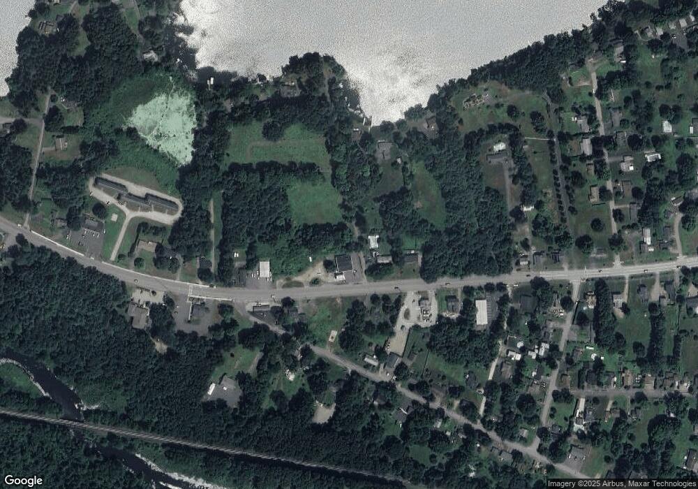
Map
Nearby Homes
- 91 W Main St
- 71 W Main St
- 234 Wickaboag
- 37 Central St
- 4 E Main St
- 25 Lake Shore Dr
- 91 Lake Shore Dr
- 28 N Main St
- 7 Church Street Extension
- 16 Hadley Path
- 12 Hadley Path
- 22 Beach Dr
- 67 E Main St
- 9 Birch Hill Rd
- 25 Highland Trail
- 19 Pine Trail
- 920 Old West Brookfield Rd
- 940 Old West Brookfield Rd
- 3 Old Ware Rd
- 9 John Gilbert Rd
- 25 Moorings Way
- 97 W Main St
- 113 W Main St
- 17 Moorings Way
- 91 W Main St Unit A
- 91 W Main St Unit R1
- 91 W Main St Unit L1
- 91 W Main St Unit 2
- 91 W Main St Unit 1
- 98 W Main St
- 106 W Main St
- 114 W Main St
- 26 Ware St
- 26 Ware St
- 121 W Main St Unit 2
- 86 W Main St
- 15 Ware St
- 15 Ware St
- 34 Ware St
- 127 W Main St