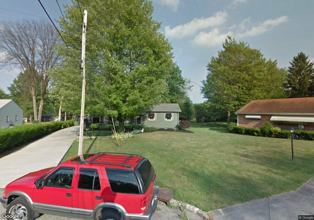
29 Patterson Ct Youngstown, OH 44511
Austintown NeighborhoodEstimated Value: $154,000 - $208,000
3
Beds
1
Bath
1,304
Sq Ft
$137/Sq Ft
Est. Value
About This Home
This home is located at 29 Patterson Ct, Youngstown, OH 44511 and is currently estimated at $179,072, approximately $137 per square foot. 29 Patterson Ct is a home located in Mahoning County with nearby schools including Austintown Elementary School, Austintown Intermediate School, and Austintown Middle School.
Ownership History
Date
Name
Owned For
Owner Type
Purchase Details
Closed on
May 1, 2020
Sold by
Salerno Loretta Ann
Bought by
Gomez Angel L
Current Estimated Value
Purchase Details
Closed on
Aug 17, 2018
Sold by
Gomez Angel L
Bought by
Concepcion Nelly and Gomez Lanee J
Purchase Details
Closed on
Dec 14, 2005
Sold by
Gomez Angel L
Bought by
Gomez Angel L
Purchase Details
Closed on
Nov 7, 2002
Sold by
Gomez Angel L
Bought by
Gomez Angel L
Purchase Details
Closed on
Dec 20, 1991
Bought by
Westover David M and L A
Create a Home Valuation Report for This Property
The Home Valuation Report is an in-depth analysis detailing your home's value as well as a comparison with similar homes in the area
Home Values in the Area
Average Home Value in this Area
Purchase History
| Date | Buyer | Sale Price | Title Company |
|---|---|---|---|
| Gomez Angel L | -- | None Available | |
| Concepcion Nelly | -- | None Available | |
| Gomez Angel L | -- | None Available | |
| Gomez Angel L | -- | -- | |
| Westover David M | $57,500 | -- |
Source: Public Records
Tax History Compared to Growth
Tax History
| Year | Tax Paid | Tax Assessment Tax Assessment Total Assessment is a certain percentage of the fair market value that is determined by local assessors to be the total taxable value of land and additions on the property. | Land | Improvement |
|---|---|---|---|---|
| 2024 | $1,659 | $45,780 | $7,940 | $37,840 |
| 2023 | $2,072 | $45,780 | $7,940 | $37,840 |
| 2022 | $1,970 | $34,920 | $6,560 | $28,360 |
| 2021 | $1,972 | $34,920 | $6,560 | $28,360 |
| 2020 | $1,979 | $34,920 | $6,560 | $28,360 |
| 2019 | $1,850 | $29,590 | $5,560 | $24,030 |
| 2018 | $1,781 | $29,590 | $5,560 | $24,030 |
| 2017 | $1,770 | $29,590 | $5,560 | $24,030 |
| 2016 | $1,673 | $27,670 | $5,880 | $21,790 |
| 2015 | $1,622 | $27,670 | $5,880 | $21,790 |
| 2014 | $1,629 | $27,670 | $5,880 | $21,790 |
| 2013 | $1,611 | $27,670 | $5,880 | $21,790 |
Source: Public Records
Map
Nearby Homes
- 2699 Hamman Dr
- 3300 Briarwood Ln
- 2500 Redgate Ln
- 2430 Redgate Ln
- 40 Woodleigh Ct
- 3913 Claridge Dr
- 4289 Wedgewood Dr
- 3662 Monaca Ave
- 4241 Wedgewood Dr
- 3401 Susan Cir
- 4166 Burgett Ln
- 4314 Kerrybrook Dr
- 4235 Patricia Ave
- 3798 S Raccoon Rd
- 4101 Canfield Rd
- 3852 Edinburgh Dr
- 4232 Adeer Dr
- 3890 Ayrshire Dr
- 2414 Ardenwood Place
- 2493 Frostwood Dr