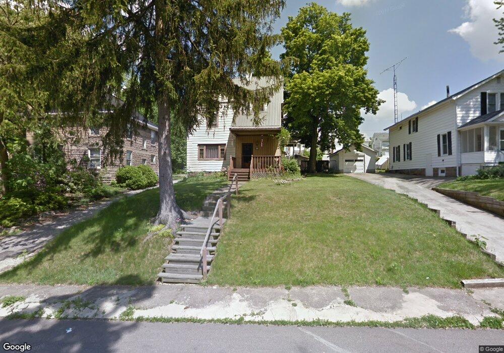
29 Stewart Ave S Mansfield, OH 44906
Estimated Value: $125,000 - $146,000
3
Beds
2
Baths
2,316
Sq Ft
$60/Sq Ft
Est. Value
About This Home
This home is located at 29 Stewart Ave S, Mansfield, OH 44906 and is currently estimated at $139,978, approximately $60 per square foot. 29 Stewart Ave S is a home located in Richland County with nearby schools including Goal Digital Academy, Mansfield Elective Academy, and St. Peter's High School/Junior High.
Ownership History
Date
Name
Owned For
Owner Type
Purchase Details
Closed on
Apr 16, 1996
Sold by
Edwards Clifton G
Bought by
Farner Bonnie E and Farner Kimberly J
Current Estimated Value
Home Financials for this Owner
Home Financials are based on the most recent Mortgage that was taken out on this home.
Original Mortgage
$43,100
Interest Rate
7.46%
Mortgage Type
New Conventional
Purchase Details
Closed on
Jan 9, 1992
Sold by
Holzwarth Norbert E
Bought by
Edwards Clifton G
Purchase Details
Closed on
Jun 1, 1985
Create a Home Valuation Report for This Property
The Home Valuation Report is an in-depth analysis detailing your home's value as well as a comparison with similar homes in the area
Home Values in the Area
Average Home Value in this Area
Purchase History
| Date | Buyer | Sale Price | Title Company |
|---|---|---|---|
| Farner Bonnie E | $47,900 | -- | |
| Edwards Clifton G | $36,000 | -- | |
| -- | $33,000 | -- |
Source: Public Records
Mortgage History
| Date | Status | Borrower | Loan Amount |
|---|---|---|---|
| Closed | Farner Bonnie E | $43,100 |
Source: Public Records
Tax History Compared to Growth
Tax History
| Year | Tax Paid | Tax Assessment Tax Assessment Total Assessment is a certain percentage of the fair market value that is determined by local assessors to be the total taxable value of land and additions on the property. | Land | Improvement |
|---|---|---|---|---|
| 2024 | $1,143 | $34,210 | $6,000 | $28,210 |
| 2023 | $1,143 | $34,210 | $6,000 | $28,210 |
| 2022 | $588 | $19,270 | $4,870 | $14,400 |
| 2021 | $592 | $19,270 | $4,870 | $14,400 |
| 2020 | $605 | $19,270 | $4,870 | $14,400 |
| 2019 | $671 | $19,270 | $4,870 | $14,400 |
| 2018 | $662 | $19,270 | $4,870 | $14,400 |
| 2017 | $631 | $19,270 | $4,870 | $14,400 |
| 2016 | $618 | $18,540 | $5,180 | $13,360 |
| 2015 | $590 | $18,540 | $5,180 | $13,360 |
| 2014 | $582 | $18,540 | $5,180 | $13,360 |
| 2012 | $420 | $18,540 | $5,450 | $13,090 |
Source: Public Records
Map
Nearby Homes
- 24 Stewart Ave S
- 21 Glenwood Blvd
- 71 Glenwood Blvd
- 88 Sherman Ave
- 41 Parkwood Blvd
- 76 Bartley Ave
- 126 Dawson Ave
- 38 Baldwin Ave
- 96 Helen Ave
- 37 Baldwin Ave
- 80 Rowland Ave
- 118 Parkwood Blvd
- 114 Vennum Ave
- 120 Gettings Place
- 406 Sherman Place
- 170 Western Ave
- 118 Lind Ave
- 129 Fairlawn Ave
- 135 Fairlawn Ave
- 143 Fairlawn Ave
- 23 Stewart Ave S
- 37 Stewart Ave S
- 556 Summit St
- 566 Summit St
- 11 Summit Ct
- 5 Summit Ct
- 15 Summit Ct
- 3 Summit Ct
- 38 Stewart Ave S
- 123 Summit Ct
- 1 Summit Ct
- 565 Park Ave W
- 16 Stewart Ave S
- 40 Stewart Ave S
- 559 Summit St Unit 563
- 52 Dawson Ave
- 36 Stewart Ave S
- 51 Stewart Ave S
- 20 Stewart Ave S
- 55 Stewart Ave S