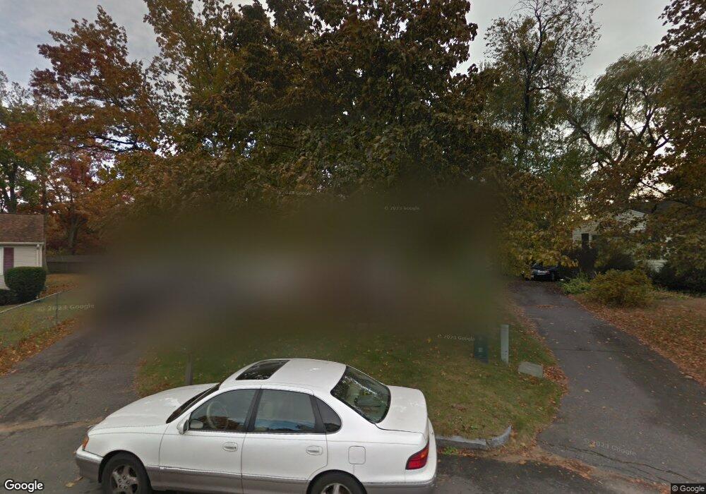
29 W Hill Rd Springfield, MA 01109
Sixteen Acres NeighborhoodEstimated Value: $255,000 - $311,000
3
Beds
1
Bath
960
Sq Ft
$297/Sq Ft
Est. Value
About This Home
This home is located at 29 W Hill Rd, Springfield, MA 01109 and is currently estimated at $285,264, approximately $297 per square foot. 29 W Hill Rd is a home located in Hampden County with nearby schools including Frank H. Freedman School, John J Duggan Middle, and Springfield High School of Science and Technology.
Ownership History
Date
Name
Owned For
Owner Type
Purchase Details
Closed on
Dec 22, 2022
Sold by
Downs Keith A
Bought by
Downs Keith A and Downs Daisy A
Current Estimated Value
Purchase Details
Closed on
Feb 22, 2022
Sold by
Downs Kristen R and Wilkerson Randy
Bought by
Downs Keith A and Downs Karl A
Purchase Details
Closed on
Nov 6, 1980
Bought by
Downs Esley J and Downs Gladys
Create a Home Valuation Report for This Property
The Home Valuation Report is an in-depth analysis detailing your home's value as well as a comparison with similar homes in the area
Home Values in the Area
Average Home Value in this Area
Purchase History
| Date | Buyer | Sale Price | Title Company |
|---|---|---|---|
| Downs Keith A | -- | None Available | |
| Downs Keith A | $8,000 | None Available | |
| Downs Esley J | $23,700 | -- |
Source: Public Records
Tax History Compared to Growth
Tax History
| Year | Tax Paid | Tax Assessment Tax Assessment Total Assessment is a certain percentage of the fair market value that is determined by local assessors to be the total taxable value of land and additions on the property. | Land | Improvement |
|---|---|---|---|---|
| 2025 | $3,395 | $216,500 | $51,100 | $165,400 |
| 2024 | $3,304 | $205,700 | $51,100 | $154,600 |
| 2023 | $3,183 | $186,700 | $48,700 | $138,000 |
| 2022 | $2,932 | $155,800 | $48,700 | $107,100 |
| 2021 | $2,897 | $153,300 | $44,200 | $109,100 |
| 2020 | $2,625 | $134,400 | $44,200 | $90,200 |
| 2019 | $2,551 | $129,600 | $44,200 | $85,400 |
| 2018 | $2,470 | $125,500 | $44,200 | $81,300 |
| 2017 | $2,471 | $125,700 | $48,900 | $76,800 |
| 2016 | $2,263 | $115,100 | $48,900 | $66,200 |
| 2015 | $2,252 | $114,500 | $48,900 | $65,600 |
Source: Public Records
Map
Nearby Homes
- 23 W Hill Rd
- 33 W Hill Rd Unit 1
- 33 W Hill Rd
- 28 Bog Hollow Rd Unit 1
- 34 W Hill Rd
- 16 Bog Hollow Rd
- 15 W Hill Rd
- 82 Leatherleaf Dr
- 90 Leatherleaf Dr
- 27 Bog Hollow Rd
- 30 W Hill Rd
- 191 Stapleton Rd
- 199 Stapleton Rd
- 5 W Hill Rd
- 183 Stapleton Rd
- 6 Bog Hollow Rd
- 55 Tumbleweed Rd
- 24 W Hill Rd
- 23 Bog Hollow Rd
- 23 Bog Hollow Rd Unit 1