29 Way Rd Unit 1 Gloucester, MA 01930
East Gloucester NeighborhoodEstimated Value: $985,000 - $1,618,000
2
Beds
2
Baths
1,574
Sq Ft
$805/Sq Ft
Est. Value
About This Home
This home is located at 29 Way Rd Unit 1, Gloucester, MA 01930 and is currently estimated at $1,266,816, approximately $804 per square foot. 29 Way Rd Unit 1 is a home located in Essex County with nearby schools including East Gloucester Elementary School, Ralph B O'maley Middle School, and Gloucester High School.
Ownership History
Date
Name
Owned For
Owner Type
Purchase Details
Closed on
Aug 16, 2023
Sold by
Day John T and Day Sharon M
Bought by
Day Ft and Day
Current Estimated Value
Purchase Details
Closed on
Dec 15, 2009
Sold by
29 Way Road Rt and Paine
Bought by
Day John T
Home Financials for this Owner
Home Financials are based on the most recent Mortgage that was taken out on this home.
Original Mortgage
$400,000
Interest Rate
5.02%
Mortgage Type
Purchase Money Mortgage
Purchase Details
Closed on
Jun 30, 2004
Sold by
Paine Caroline R
Bought by
29 Way Road Rt
Purchase Details
Closed on
Jul 15, 1996
Sold by
Senter Roger C
Bought by
Paine C Robin
Home Financials for this Owner
Home Financials are based on the most recent Mortgage that was taken out on this home.
Original Mortgage
$100,000
Interest Rate
7.98%
Mortgage Type
Purchase Money Mortgage
Create a Home Valuation Report for This Property
The Home Valuation Report is an in-depth analysis detailing your home's value as well as a comparison with similar homes in the area
Home Values in the Area
Average Home Value in this Area
Purchase History
| Date | Buyer | Sale Price | Title Company |
|---|---|---|---|
| Day Ft | -- | None Available | |
| Day John T | $582,500 | -- | |
| 29 Way Road Rt | -- | -- | |
| Paine C Robin | $252,000 | -- |
Source: Public Records
Mortgage History
| Date | Status | Borrower | Loan Amount |
|---|---|---|---|
| Previous Owner | Paine C Robin | $385,000 | |
| Previous Owner | Paine C Robin | $400,000 | |
| Previous Owner | Paine C Robin | $100,000 |
Source: Public Records
Tax History Compared to Growth
Tax History
| Year | Tax Paid | Tax Assessment Tax Assessment Total Assessment is a certain percentage of the fair market value that is determined by local assessors to be the total taxable value of land and additions on the property. | Land | Improvement |
|---|---|---|---|---|
| 2025 | $10,487 | $1,078,900 | $571,700 | $507,200 |
| 2024 | $10,232 | $1,051,600 | $544,400 | $507,200 |
| 2023 | $9,624 | $908,800 | $465,100 | $443,700 |
| 2022 | $9,308 | $793,500 | $404,200 | $389,300 |
| 2021 | $8,988 | $722,500 | $367,700 | $354,800 |
| 2020 | $8,345 | $676,800 | $367,700 | $309,100 |
| 2019 | $7,960 | $627,300 | $350,600 | $276,700 |
| 2018 | $7,662 | $592,600 | $342,000 | $250,600 |
| 2017 | $7,429 | $563,200 | $325,300 | $237,900 |
| 2016 | $7,132 | $524,000 | $311,000 | $213,000 |
| 2015 | $6,837 | $500,900 | $303,900 | $197,000 |
Source: Public Records
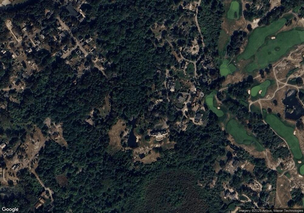
Map
Nearby Homes
- 20 Calder St
- 36 Links Rd
- 30 Chapel St Unit B
- 9 Rocky Pasture Rd
- 20 Haskell St
- 10 Seaview Rd
- 100 E Main St
- 197 E Main St
- 197 E Main St Unit 1
- 197 E Main St Unit 2
- 197 E Main St Unit 1 & 2
- 86 E Main St
- 97 E Main St
- 4 Hillside Rd
- 10 Amero Ct
- 73 Rocky Neck Ave Unit 2
- 60 Rocky Neck Ave Unit 202
- 1 Wonson St
- 7 Hawthorne Ln
- 7 Rackliffe St Unit 1