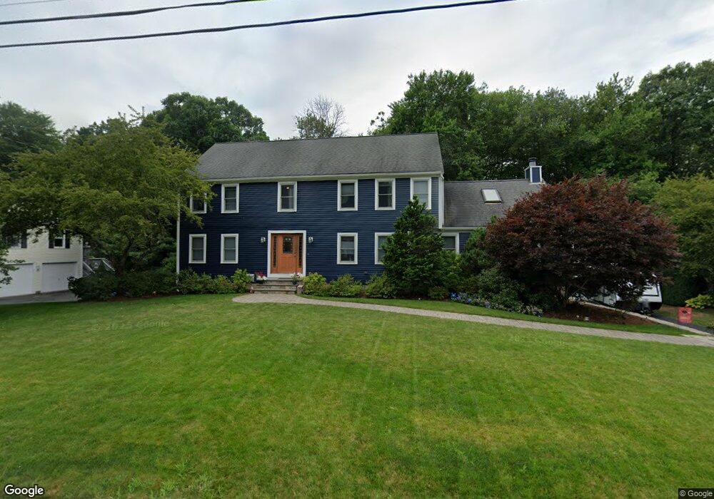
29 Woodridge Rd Milford, MA 01757
Estimated Value: $765,452 - $816,000
4
Beds
4
Baths
3,910
Sq Ft
$203/Sq Ft
Est. Value
About This Home
This home is located at 29 Woodridge Rd, Milford, MA 01757 and is currently estimated at $795,613, approximately $203 per square foot. 29 Woodridge Rd is a home located in Worcester County with nearby schools including Milford High School.
Ownership History
Date
Name
Owned For
Owner Type
Purchase Details
Closed on
Mar 27, 2003
Sold by
Taraborelli Steven F
Bought by
Bennett Robert and Bennett Tara
Current Estimated Value
Purchase Details
Closed on
Apr 7, 1993
Sold by
Wolf Douglas E and Wolf Debra H
Bought by
Taraborelli Steven F and Taraborelli Carolyn
Purchase Details
Closed on
Jun 30, 1987
Sold by
Blasio Richard J
Bought by
Corrigan William C
Create a Home Valuation Report for This Property
The Home Valuation Report is an in-depth analysis detailing your home's value as well as a comparison with similar homes in the area
Home Values in the Area
Average Home Value in this Area
Purchase History
| Date | Buyer | Sale Price | Title Company |
|---|---|---|---|
| Bennett Robert | $418,000 | -- | |
| Taraborelli Steven F | $215,000 | -- | |
| Corrigan William C | $269,900 | -- |
Source: Public Records
Mortgage History
| Date | Status | Borrower | Loan Amount |
|---|---|---|---|
| Open | Corrigan William C | $261,000 | |
| Closed | Corrigan William C | $268,000 |
Source: Public Records
Tax History Compared to Growth
Tax History
| Year | Tax Paid | Tax Assessment Tax Assessment Total Assessment is a certain percentage of the fair market value that is determined by local assessors to be the total taxable value of land and additions on the property. | Land | Improvement |
|---|---|---|---|---|
| 2025 | $8,097 | $632,600 | $195,500 | $437,100 |
| 2024 | $8,082 | $608,100 | $188,000 | $420,100 |
| 2023 | $7,528 | $521,000 | $156,000 | $365,000 |
| 2022 | $7,144 | $464,200 | $142,800 | $321,400 |
| 2021 | $6,796 | $425,300 | $142,800 | $282,500 |
| 2020 | $6,705 | $420,100 | $142,800 | $277,300 |
| 2019 | $6,508 | $393,500 | $142,800 | $250,700 |
| 2018 | $6,548 | $395,400 | $144,700 | $250,700 |
| 2017 | $5,945 | $354,100 | $144,700 | $209,400 |
| 2016 | $5,833 | $339,500 | $144,700 | $194,800 |
| 2015 | $5,839 | $332,700 | $144,700 | $188,000 |
Source: Public Records
Map
Nearby Homes
- 44 Woodridge Rd
- 250 Congress St
- 8 Vassar Dr
- 20 Senate Rd
- 5 Stanford Cir
- 54 Village Cir Unit 54
- 56 Village Cir
- 9 Robin Rd
- 44 Silver Hill Rd
- 8 Colonial Rd
- 13 Hemlock Ln
- 62 Field Pond Rd
- 94 Highland St
- 6 Geneseo Cir
- 14 C Country Club Ln
- 1 Tyler St
- 1 Godfrey Ln Unit 1
- 33 Country Club Ln Unit D
- 51 Camp St
- 24 Camp St