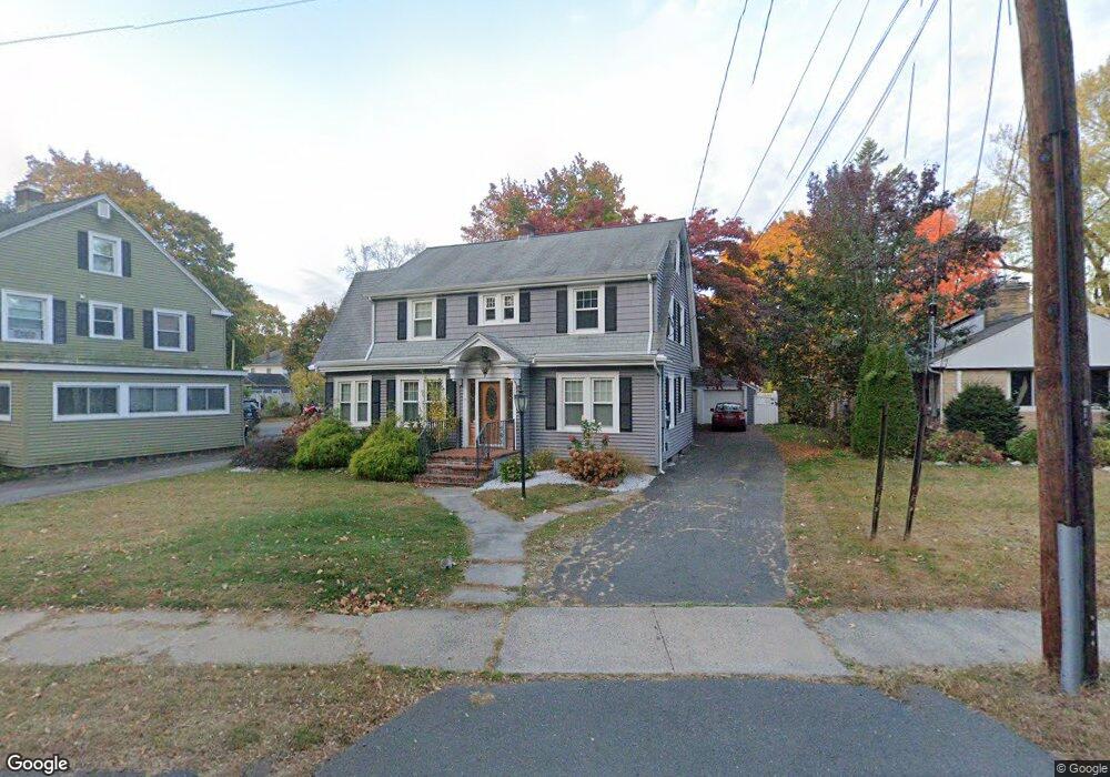
290 Corbin Ave New Britain, CT 06052
Estimated Value: $313,000 - $361,000
3
Beds
2
Baths
1,658
Sq Ft
$200/Sq Ft
Est. Value
About This Home
This home is located at 290 Corbin Ave, New Britain, CT 06052 and is currently estimated at $331,737, approximately $200 per square foot. 290 Corbin Ave is a home located in Hartford County with nearby schools including Vance School, Slade Middle School, and Raymond Hill School.
Ownership History
Date
Name
Owned For
Owner Type
Purchase Details
Closed on
Jul 5, 2001
Sold by
Kelaher James F
Bought by
Channer Amparo and Channer Algin
Current Estimated Value
Home Financials for this Owner
Home Financials are based on the most recent Mortgage that was taken out on this home.
Original Mortgage
$124,200
Outstanding Balance
$48,107
Interest Rate
7.21%
Estimated Equity
$283,630
Purchase Details
Closed on
Jul 26, 1991
Sold by
Fiori David P and Fiori Karen
Bought by
Kelaher James F and Kelaher Gloria
Home Financials for this Owner
Home Financials are based on the most recent Mortgage that was taken out on this home.
Original Mortgage
$129,550
Interest Rate
9.58%
Mortgage Type
Unknown
Purchase Details
Closed on
Jun 16, 1988
Sold by
Stephenson Eliz
Bought by
Washburn Henry
Create a Home Valuation Report for This Property
The Home Valuation Report is an in-depth analysis detailing your home's value as well as a comparison with similar homes in the area
Home Values in the Area
Average Home Value in this Area
Purchase History
| Date | Buyer | Sale Price | Title Company |
|---|---|---|---|
| Channer Amparo | $138,000 | -- | |
| Kelaher James F | $135,000 | -- | |
| Washburn Henry | $335,000 | -- |
Source: Public Records
Mortgage History
| Date | Status | Borrower | Loan Amount |
|---|---|---|---|
| Open | Washburn Henry | $32,000 | |
| Open | Washburn Henry | $124,200 | |
| Previous Owner | Washburn Henry | $126,786 | |
| Previous Owner | Washburn Henry | $129,550 |
Source: Public Records
Tax History Compared to Growth
Tax History
| Year | Tax Paid | Tax Assessment Tax Assessment Total Assessment is a certain percentage of the fair market value that is determined by local assessors to be the total taxable value of land and additions on the property. | Land | Improvement |
|---|---|---|---|---|
| 2025 | $5,589 | $142,660 | $35,560 | $107,100 |
| 2024 | $5,648 | $142,660 | $35,560 | $107,100 |
| 2023 | $5,461 | $142,660 | $35,560 | $107,100 |
| 2022 | $4,768 | $96,320 | $16,380 | $79,940 |
| 2021 | $4,768 | $96,320 | $16,380 | $79,940 |
| 2020 | $4,864 | $96,320 | $16,380 | $79,940 |
| 2019 | $4,864 | $96,320 | $16,380 | $79,940 |
| 2018 | $4,864 | $96,320 | $16,380 | $79,940 |
| 2017 | $4,793 | $94,920 | $15,050 | $79,870 |
| 2016 | $4,793 | $94,920 | $15,050 | $79,870 |
| 2015 | $4,651 | $94,920 | $15,050 | $79,870 |
| 2014 | $4,651 | $94,920 | $15,050 | $79,870 |
Source: Public Records
Map
Nearby Homes