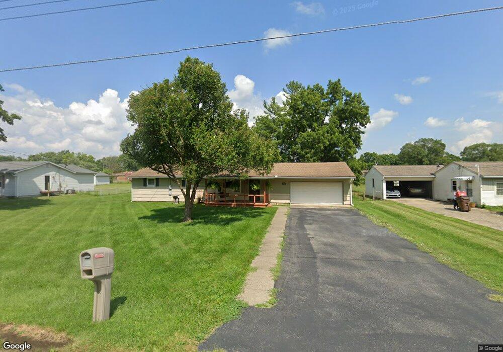
290 Maple Ave Franklin, OH 45005
Estimated Value: $196,000 - $213,467
4
Beds
1
Bath
1,164
Sq Ft
$174/Sq Ft
Est. Value
About This Home
This home is located at 290 Maple Ave, Franklin, OH 45005 and is currently estimated at $202,617, approximately $174 per square foot. 290 Maple Ave is a home located in Warren County with nearby schools including Alden R Brown Elementary School, Chamberlain Middle School, and Carlisle High School.
Ownership History
Date
Name
Owned For
Owner Type
Purchase Details
Closed on
Jul 14, 2014
Sold by
Mackey Jennifer M
Bought by
Mackey Michael
Current Estimated Value
Purchase Details
Closed on
Feb 5, 2009
Sold by
Mackey Michael
Bought by
Mackey Jennifer M
Home Financials for this Owner
Home Financials are based on the most recent Mortgage that was taken out on this home.
Original Mortgage
$115,000
Outstanding Balance
$72,616
Interest Rate
5.08%
Mortgage Type
New Conventional
Estimated Equity
$130,001
Purchase Details
Closed on
Oct 29, 1997
Sold by
Mackey James S
Bought by
Mackey Michael
Home Financials for this Owner
Home Financials are based on the most recent Mortgage that was taken out on this home.
Original Mortgage
$89,928
Interest Rate
7.51%
Mortgage Type
New Conventional
Create a Home Valuation Report for This Property
The Home Valuation Report is an in-depth analysis detailing your home's value as well as a comparison with similar homes in the area
Home Values in the Area
Average Home Value in this Area
Purchase History
| Date | Buyer | Sale Price | Title Company |
|---|---|---|---|
| Mackey Michael | -- | None Available | |
| Mackey Jennifer M | -- | Attorney | |
| Mackey Michael | $90,000 | -- |
Source: Public Records
Mortgage History
| Date | Status | Borrower | Loan Amount |
|---|---|---|---|
| Open | Mackey Jennifer M | $115,000 | |
| Closed | Mackey Michael | $89,928 |
Source: Public Records
Tax History Compared to Growth
Tax History
| Year | Tax Paid | Tax Assessment Tax Assessment Total Assessment is a certain percentage of the fair market value that is determined by local assessors to be the total taxable value of land and additions on the property. | Land | Improvement |
|---|---|---|---|---|
| 2024 | $2,062 | $52,780 | $17,850 | $34,930 |
| 2023 | $1,697 | $39,546 | $11,623 | $27,923 |
| 2022 | $1,686 | $39,547 | $11,624 | $27,923 |
| 2021 | $1,664 | $39,547 | $11,624 | $27,923 |
| 2020 | $1,553 | $32,151 | $9,450 | $22,701 |
| 2019 | $1,575 | $32,151 | $9,450 | $22,701 |
| 2018 | $1,537 | $32,151 | $9,450 | $22,701 |
| 2017 | $1,515 | $28,508 | $8,495 | $20,013 |
| 2016 | $1,331 | $28,508 | $8,495 | $20,013 |
| 2015 | $1,335 | $28,508 | $8,495 | $20,013 |
| 2014 | $1,271 | $28,510 | $8,490 | $20,010 |
| 2013 | $1,266 | $35,230 | $10,500 | $24,730 |
Source: Public Records
Map
Nearby Homes
- 290 Janet Ave
- 291 Judy Ave
- 5575 Fairview Dr
- 1909 Cleopatra Dr
- 122 Arthur Ave
- 122 Fairview Dr
- 118 Arthur Ave
- 6040 6th Ave
- 6157 12th Ave
- 1012 Gribble Dr
- 324 Cris Ct
- 121 Boys Ave
- 121 Mound Builder Place
- 209 Rossman Ct
- 110 Eagle Ridge Dr
- 212 Rossman Ct
- 102 Warren Ave
- 315 Bridge St
- 533 Clay St
- 605 Spring Ave