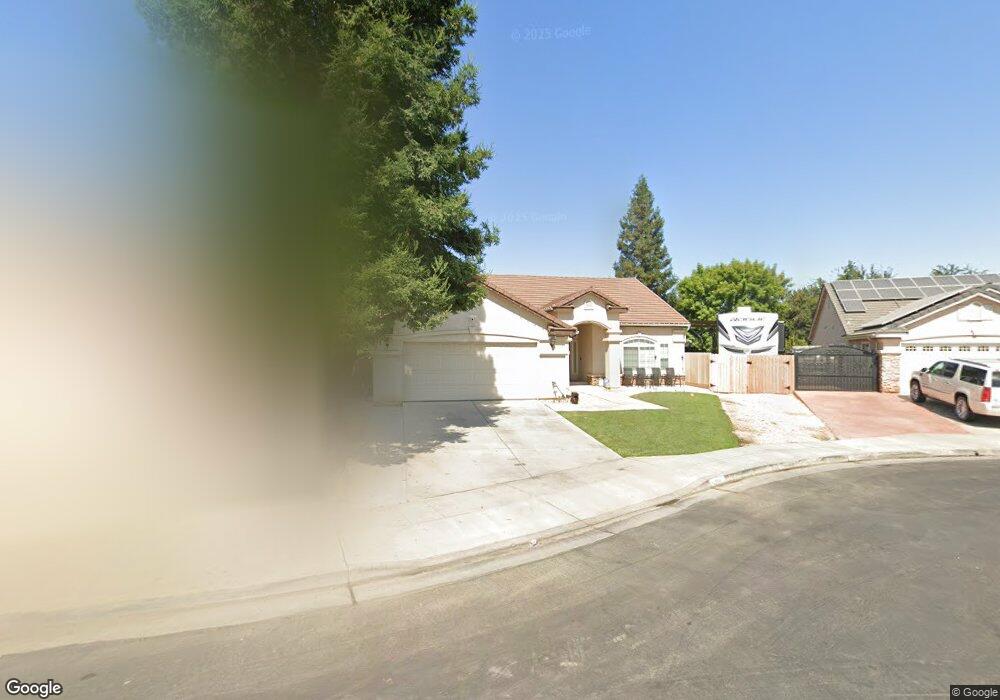
290 N Anderson Ave Clovis, CA 93612
Estimated Value: $478,903 - $536,000
4
Beds
3
Baths
1,840
Sq Ft
$276/Sq Ft
Est. Value
About This Home
This home is located at 290 N Anderson Ave, Clovis, CA 93612 and is currently estimated at $508,634, approximately $276 per square foot. 290 N Anderson Ave is a home located in Fresno County with nearby schools including Cole Elementary School, Alta Sierra Intermediate School, and Buchanan High School.
Ownership History
Date
Name
Owned For
Owner Type
Purchase Details
Closed on
Jul 8, 2025
Sold by
Deatherage Raymond E and Deatherage Deanna G
Bought by
Raymond And Deanne Deatherage Living Trust and Deatherage
Current Estimated Value
Purchase Details
Closed on
Sep 3, 2015
Sold by
Morton Vaughn R
Bought by
Deatherage Raymond and Deatherage Deanna G
Home Financials for this Owner
Home Financials are based on the most recent Mortgage that was taken out on this home.
Original Mortgage
$290,000
Interest Rate
3.89%
Mortgage Type
Seller Take Back
Purchase Details
Closed on
Mar 2, 2005
Sold by
Bh5115 Lp
Bought by
Morton Vaughn R and Vaughn R Morton Revocable Living Trust
Purchase Details
Closed on
Jul 12, 2004
Sold by
Bh5115 Lp
Bought by
Morton Vaughn R and Vahghen R Morton Revocable Living Trust
Create a Home Valuation Report for This Property
The Home Valuation Report is an in-depth analysis detailing your home's value as well as a comparison with similar homes in the area
Home Values in the Area
Average Home Value in this Area
Purchase History
| Date | Buyer | Sale Price | Title Company |
|---|---|---|---|
| Raymond And Deanne Deatherage Living Trust | -- | None Listed On Document | |
| Deatherage Raymond | $290,000 | Chicago Title Company | |
| Morton Vaughn R | $270,000 | Chicago Title Company | |
| Morton Vaughn R | $270,000 | Chicago Title Co |
Source: Public Records
Mortgage History
| Date | Status | Borrower | Loan Amount |
|---|---|---|---|
| Previous Owner | Deatherage Raymond | $290,000 |
Source: Public Records
Tax History
| Year | Tax Paid | Tax Assessment Tax Assessment Total Assessment is a certain percentage of the fair market value that is determined by local assessors to be the total taxable value of land and additions on the property. | Land | Improvement |
|---|---|---|---|---|
| 2025 | $4,283 | $343,294 | $112,457 | $230,837 |
| 2023 | $4,109 | $329,965 | $108,091 | $221,874 |
| 2022 | $4,057 | $323,496 | $105,972 | $217,524 |
| 2021 | $3,928 | $317,154 | $103,895 | $213,259 |
| 2020 | $3,905 | $313,903 | $102,830 | $211,073 |
| 2019 | $3,833 | $307,749 | $100,814 | $206,935 |
| 2018 | $3,744 | $301,716 | $98,838 | $202,878 |
| 2017 | $3,677 | $295,800 | $96,900 | $198,900 |
| 2016 | $3,558 | $290,000 | $95,000 | $195,000 |
| 2015 | $3,485 | $285,000 | $75,000 | $210,000 |
| 2014 | $3,343 | $272,500 | $90,800 | $181,700 |
Source: Public Records
Map
Nearby Homes
- 62 N Helm Ave
- 131 N Terry Ave
- 602 W Mahogany Ln
- 275 N Peach Ave
- 351 N Peach Ave
- 230 N Bush Ave
- 484 W Balsam Ln
- 288 W Magill Ave
- 0 Willow Bluff Unit 638378
- 742 W Ellery Ave
- 301 W Paul Ave
- 6610 N Garden Ave
- 211 W Paul Ave
- 6706 N Chestnut Ave Unit 118
- 450 W Alluvial Ave
- 345 Sylmar Ave
- 474 W Windsor Ave
- 2625 E Sean Ave
- 550 W Bedford Ave
- 493 Timmy Ave
- 280 N Anderson Ave
- 295 N Adler Ave
- 595 W Fremont Ave
- 285 N Adler Ave
- 605 W Fremont Ave
- 575 W Fremont Ave
- 260 N Anderson Ave
- 265 N Adler Ave
- 283 N Anderson Ave
- 555 W Fremont Ave
- 273 N Anderson Ave
- 615 W Fremont Ave
- 263 N Anderson Ave
- 535 W Fremont Ave
- 288 N Adler Ave
- 240 N Anderson Ave
- 625 W Fremont Ave
- 278 N Adler Ave
- 245 N Adler Ave
- 282 N Helm Ave
Your Personal Tour Guide
Ask me questions while you tour the home.