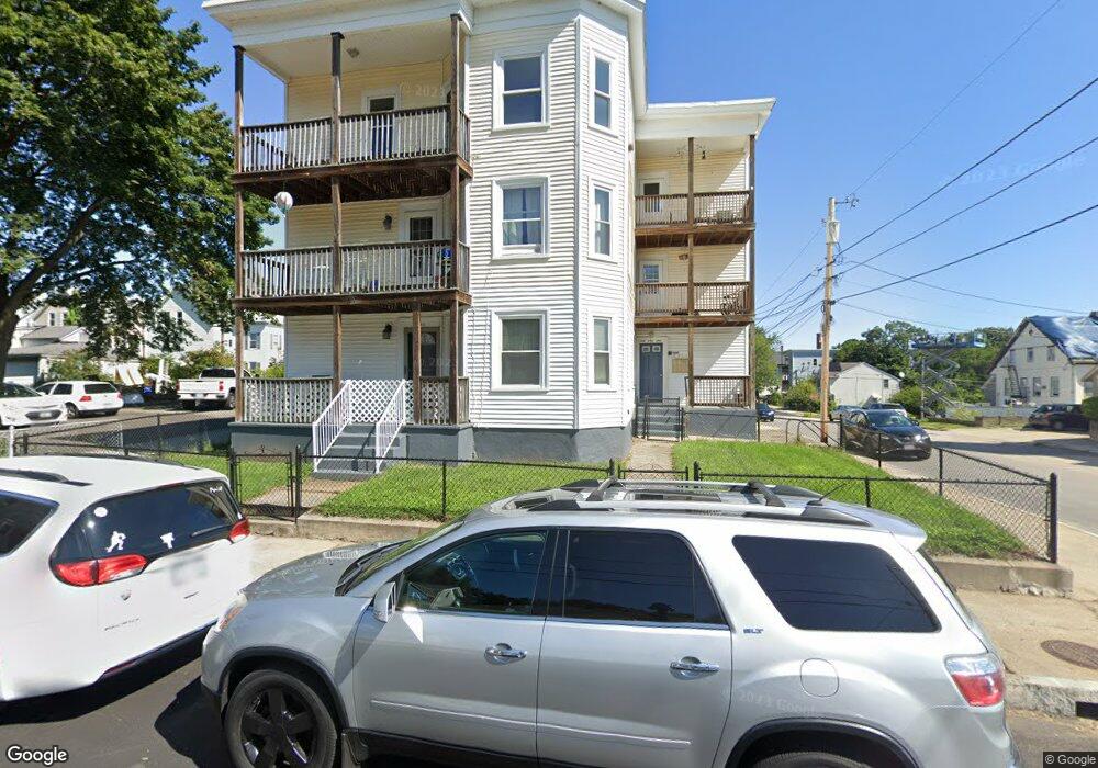
290 Paradis Ave Woonsocket, RI 02895
Bernon District NeighborhoodEstimated Value: $415,847 - $599,000
9
Beds
4
Baths
4,395
Sq Ft
$121/Sq Ft
Est. Value
About This Home
This home is located at 290 Paradis Ave, Woonsocket, RI 02895 and is currently estimated at $531,962, approximately $121 per square foot. 290 Paradis Ave is a home with nearby schools including Woonsocket High School, Rise Prep Mayoral Academy Middle School, and Rise Prep Mayoral Academy.
Ownership History
Date
Name
Owned For
Owner Type
Purchase Details
Closed on
May 8, 1995
Sold by
Roland Messier
Bought by
Messier Normand P and Messier Annette
Current Estimated Value
Home Financials for this Owner
Home Financials are based on the most recent Mortgage that was taken out on this home.
Original Mortgage
$69,600
Interest Rate
8.36%
Mortgage Type
Commercial
Create a Home Valuation Report for This Property
The Home Valuation Report is an in-depth analysis detailing your home's value as well as a comparison with similar homes in the area
Home Values in the Area
Average Home Value in this Area
Purchase History
| Date | Buyer | Sale Price | Title Company |
|---|---|---|---|
| Messier Normand P | $104,500 | -- | |
| Messier Normand P | $104,500 | -- |
Source: Public Records
Mortgage History
| Date | Status | Borrower | Loan Amount |
|---|---|---|---|
| Open | Messier Normand P | $225,500 | |
| Closed | Messier Normand P | $209,750 | |
| Closed | Messier Normand P | $69,600 |
Source: Public Records
Tax History
| Year | Tax Paid | Tax Assessment Tax Assessment Total Assessment is a certain percentage of the fair market value that is determined by local assessors to be the total taxable value of land and additions on the property. | Land | Improvement |
|---|---|---|---|---|
| 2025 | $5,123 | $456,200 | $87,900 | $368,300 |
| 2024 | $5,409 | $372,000 | $89,500 | $282,500 |
| 2023 | $5,201 | $372,000 | $89,500 | $282,500 |
| 2022 | $5,201 | $372,000 | $89,500 | $282,500 |
| 2021 | $4,109 | $173,000 | $35,600 | $137,400 |
| 2020 | $4,152 | $173,000 | $35,600 | $137,400 |
| 2018 | $4,166 | $173,000 | $35,600 | $137,400 |
| 2017 | $4,211 | $139,900 | $40,000 | $99,900 |
| 2016 | $4,610 | $144,800 | $40,000 | $104,800 |
| 2015 | $5,297 | $144,800 | $40,000 | $104,800 |
| 2014 | $5,272 | $146,700 | $44,000 | $102,700 |
Source: Public Records
Map
Nearby Homes
- 345 Carrington Ave
- 410 Carrington Ave
- 346 Carrington Ave
- 74 Maple St
- 24 Paradis Ave
- 233 Grove St
- 219 Crawford St
- 18 Villa Nova St
- 414 Rhode Island Ave
- 372 Cumberland Hill Rd
- 35 Greene St
- 0 Irving Lot 206 Ave Unit 1397321
- 15 Knight St
- 56 Mailloux St
- 0 Irving Lot 192 Ave Unit 1383138
- 311 Elm St
- 263 Elm St
- 180 Allen St Unit 104
- 379 Front St
- 99 Allen St Unit 205
- 312 Paradis Ave
- 97 Roberts St
- 461 Willow St
- 291 Paradis Ave
- 262 Paradis Ave
- 449 Willow St
- 313 Paradis Ave
- 318 Paradis Ave
- 318 Paradis Ave Unit 2
- 451 Willow St
- 267 Paradis Ave
- 315 Paradis Ave
- 439 Willow St
- 332 Paradis Ave
- 242 Paradis Ave
- 163 Roberts St
- 325 Paradis Ave
- 499 Willow St
- 429 Willow St
- 244 Paradis Ave Unit 1
Your Personal Tour Guide
Ask me questions while you tour the home.