290 Paxton Hollow Rd Hohenwald, TN 38462
Estimated Value: $379,723 - $549,000
--
Bed
2
Baths
2,220
Sq Ft
$213/Sq Ft
Est. Value
About This Home
This home is located at 290 Paxton Hollow Rd, Hohenwald, TN 38462 and is currently estimated at $472,574, approximately $212 per square foot. 290 Paxton Hollow Rd is a home located in Lewis County with nearby schools including Lewis County Elementary School, Lewis County Intermediate School, and Lewis County Middle School.
Ownership History
Date
Name
Owned For
Owner Type
Purchase Details
Closed on
Feb 19, 2018
Sold by
Crews Barry
Bought by
Carroll David Wayne
Current Estimated Value
Purchase Details
Closed on
Mar 11, 2016
Sold by
Hall James M
Bought by
Carroll Gary W and Carroll Deborah J
Purchase Details
Closed on
Mar 13, 2013
Sold by
Bartrug David
Bought by
Crews Barry and Crews Carol
Purchase Details
Closed on
Feb 15, 1996
Sold by
Carroll Gary W
Bought by
Carroll Gary W and Carroll Deborah
Purchase Details
Closed on
Mar 27, 1991
Bought by
Carroll Gary W and Carroll Deborah
Create a Home Valuation Report for This Property
The Home Valuation Report is an in-depth analysis detailing your home's value as well as a comparison with similar homes in the area
Home Values in the Area
Average Home Value in this Area
Purchase History
| Date | Buyer | Sale Price | Title Company |
|---|---|---|---|
| Carroll David Wayne | $40,800 | -- | |
| Carroll Gary W | $6,000 | -- | |
| Crews Barry | $45,000 | -- | |
| Carroll Gary W | $300 | -- | |
| Carroll Gary W | $10,500 | -- |
Source: Public Records
Tax History Compared to Growth
Tax History
| Year | Tax Paid | Tax Assessment Tax Assessment Total Assessment is a certain percentage of the fair market value that is determined by local assessors to be the total taxable value of land and additions on the property. | Land | Improvement |
|---|---|---|---|---|
| 2025 | $988 | $112,025 | $0 | $0 |
| 2024 | $988 | $52,425 | $4,700 | $47,725 |
| 2023 | $988 | $52,425 | $4,700 | $47,725 |
| 2022 | $988 | $52,425 | $4,700 | $47,725 |
| 2021 | $988 | $52,425 | $4,700 | $47,725 |
| 2020 | $988 | $52,425 | $4,700 | $47,725 |
| 2019 | $978 | $42,625 | $3,750 | $38,875 |
| 2018 | $978 | $42,625 | $3,750 | $38,875 |
| 2017 | $978 | $42,625 | $3,750 | $38,875 |
| 2016 | $894 | $38,950 | $5,150 | $33,800 |
| 2015 | -- | $38,950 | $5,150 | $33,800 |
| 2014 | -- | $38,950 | $5,150 | $33,800 |
| 2013 | -- | $39,825 | $0 | $0 |
Source: Public Records
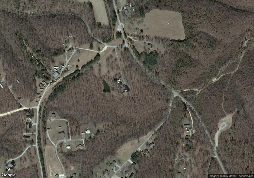
Map
Nearby Homes
- 129 Maplewood Dr
- 173 Twin Oaks Dr
- 211 Woodmere
- 103 Irene Ln
- 0 Happy Hollow Rd Unit RTC2807252
- 133 Webb Ave
- 600 Kimmins St
- 793 Gray Rd
- 0 Joe Ave Unit RTC2424474
- 415 Swan Ave
- 305 Thomas Ave
- 0 Brewer Dr
- 312 Kimmins St
- 104 Judy Ln
- 113 Swan Ave
- 521 Thomas Ave
- 109 Swan Ave
- 209 N Pine St
- 630 Beverly Ave
- 114 N Pine St
- 107 Maplewood Dr
- 884 New Kimmins Rd
- 288 Twin Oaks Dr
- 282 Twin Oaks Dr
- 821 New Kimmins Rd
- 124 Thunder Trail
- 900 New Kimmins Rd
- 270 Twin Oaks Dr
- 265 Twin Oaks Dr
- 122 Maplewood Dr
- 119 Maplewood Dr
- 268 Twin Oaks Dr
- 259 Twin Oaks Dr
- 111 Maplewood Dr
- 264 Twin Oaks Dr
- 257 Twin Oaks Dr
- 112 Maplewood Dr
- 260 Twin Oaks Dr
- 0 Thunder Trail Unit 1974501
- 0 Thunder Trail Unit 2094391