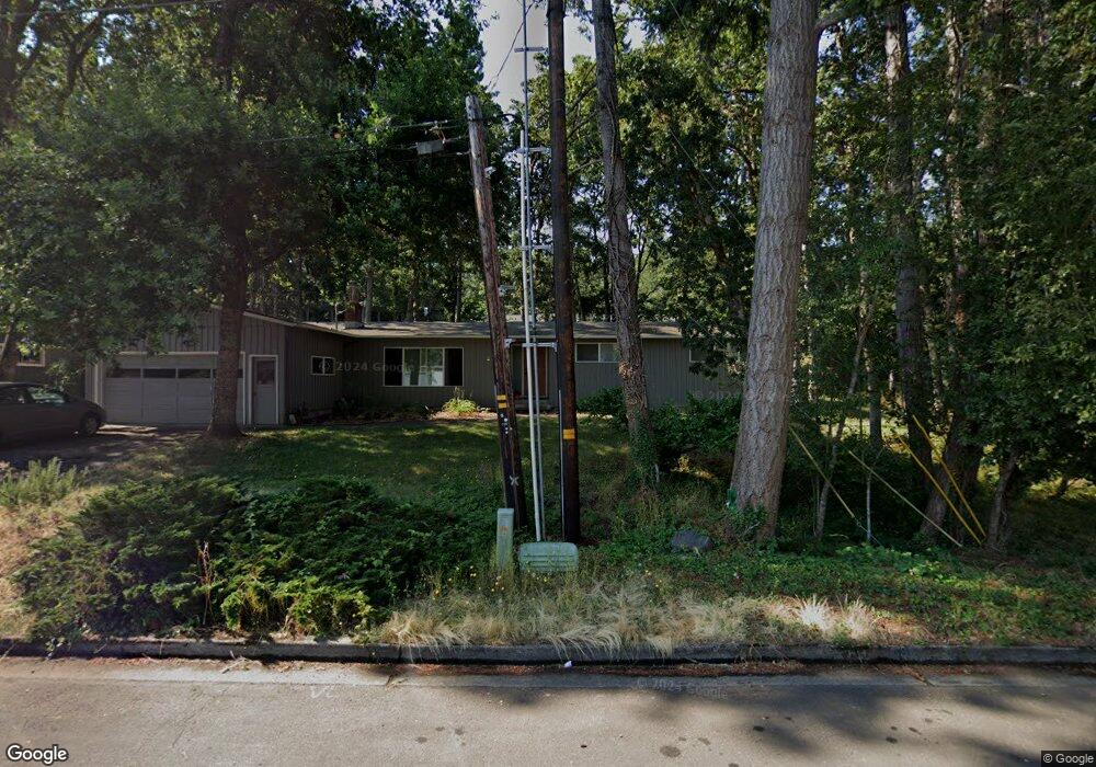
290 W 37th Ave Eugene, OR 97405
Crest Drive NeighborhoodEstimated Value: $503,000 - $594,000
3
Beds
2
Baths
1,762
Sq Ft
$307/Sq Ft
Est. Value
About This Home
This home is located at 290 W 37th Ave, Eugene, OR 97405 and is currently estimated at $541,072, approximately $307 per square foot. 290 W 37th Ave is a home located in Lane County with nearby schools including Edgewood Community Elementary School, Spencer Butte Middle School, and South Eugene High School.
Ownership History
Date
Name
Owned For
Owner Type
Purchase Details
Closed on
Mar 13, 2013
Sold by
Thompson Joseph P and Tabizon Thompson Marisa
Bought by
Burke Edward A and Delf Elizabeth D
Current Estimated Value
Home Financials for this Owner
Home Financials are based on the most recent Mortgage that was taken out on this home.
Original Mortgage
$254,308
Outstanding Balance
$176,454
Interest Rate
3.25%
Mortgage Type
FHA
Estimated Equity
$364,618
Purchase Details
Closed on
Jul 8, 2009
Sold by
Owen Stephen W
Bought by
Thompson Joseph P and Thompson Marisa Tabizon
Home Financials for this Owner
Home Financials are based on the most recent Mortgage that was taken out on this home.
Original Mortgage
$269,910
Interest Rate
5.25%
Mortgage Type
Purchase Money Mortgage
Create a Home Valuation Report for This Property
The Home Valuation Report is an in-depth analysis detailing your home's value as well as a comparison with similar homes in the area
Home Values in the Area
Average Home Value in this Area
Purchase History
| Date | Buyer | Sale Price | Title Company |
|---|---|---|---|
| Burke Edward A | $259,000 | Multiple | |
| Thompson Joseph P | $299,900 | Western Title |
Source: Public Records
Mortgage History
| Date | Status | Borrower | Loan Amount |
|---|---|---|---|
| Open | Burke Edward A | $254,308 | |
| Previous Owner | Thompson Joseph P | $269,910 |
Source: Public Records
Tax History
| Year | Tax Paid | Tax Assessment Tax Assessment Total Assessment is a certain percentage of the fair market value that is determined by local assessors to be the total taxable value of land and additions on the property. | Land | Improvement |
|---|---|---|---|---|
| 2025 | $4,870 | $249,974 | -- | -- |
| 2024 | $4,810 | $242,694 | -- | -- |
| 2023 | $4,810 | $235,626 | -- | -- |
| 2022 | $4,506 | $228,764 | $0 | $0 |
| 2021 | $4,232 | $222,101 | $0 | $0 |
| 2020 | $4,247 | $215,633 | $0 | $0 |
| 2019 | $4,102 | $209,353 | $0 | $0 |
| 2018 | $3,861 | $197,336 | $0 | $0 |
| 2017 | $3,688 | $197,336 | $0 | $0 |
| 2016 | $3,597 | $191,588 | $0 | $0 |
| 2015 | $3,493 | $186,008 | $0 | $0 |
| 2014 | $3,423 | $180,590 | $0 | $0 |
Source: Public Records
Map
Nearby Homes
- 357 W 37th Ave
- 3593 Lawrence St
- 320 Dellwood Dr
- 453 Dellwood Dr
- 75 W 35th Place
- 605 Fulvue Dr
- 0 Hidden Meadows
- 3854 Monroe St
- 806 Sundance St
- 1 Storey Blvd
- 2 Storey Blvd
- 275 E 39th Ave
- 170 E 40th Ave
- 3160 Whitten Dr
- 434 E 39th Ave
- 2965 Olive St
- 4023 Donald St Unit K
- 0 Pine View Ct Unit 758820410
- 4040 Southpointe Dr
- 17 Westbrook Way
Your Personal Tour Guide
Ask me questions while you tour the home.