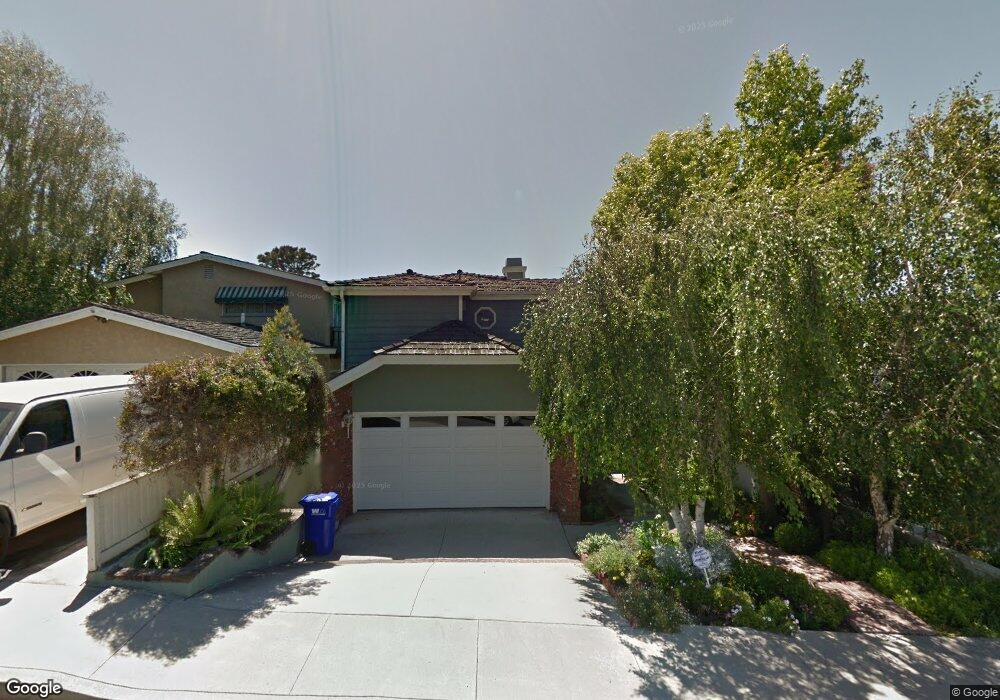
2901 Maple Ave Manhattan Beach, CA 90266
Estimated Value: $3,867,630 - $4,834,000
5
Beds
4
Baths
3,298
Sq Ft
$1,337/Sq Ft
Est. Value
About This Home
This home is located at 2901 Maple Ave, Manhattan Beach, CA 90266 and is currently estimated at $4,407,908, approximately $1,336 per square foot. 2901 Maple Ave is a home located in Los Angeles County with nearby schools including Pacific Elementary School, Manhattan Beach Middle School, and Mira Costa High School.
Ownership History
Date
Name
Owned For
Owner Type
Purchase Details
Closed on
Feb 7, 2018
Sold by
Durslag William and Lorayne Dursiag Survivors Trus
Bought by
Pearce Robert J and Pearce Amy W
Current Estimated Value
Home Financials for this Owner
Home Financials are based on the most recent Mortgage that was taken out on this home.
Original Mortgage
$1,852,000
Outstanding Balance
$1,549,901
Interest Rate
3.62%
Mortgage Type
Adjustable Rate Mortgage/ARM
Estimated Equity
$2,858,008
Purchase Details
Closed on
Sep 19, 2016
Sold by
Durslag Lorayne and Durslag Melvin
Bought by
Durslag Lorayne and Lorayne Durslag Survivors Trus
Purchase Details
Closed on
Jan 30, 1996
Sold by
Durslag Melvin and Durslag Lorayne
Bought by
Durslag Melvin and Durslag Lorayne
Create a Home Valuation Report for This Property
The Home Valuation Report is an in-depth analysis detailing your home's value as well as a comparison with similar homes in the area
Home Values in the Area
Average Home Value in this Area
Purchase History
| Date | Buyer | Sale Price | Title Company |
|---|---|---|---|
| Pearce Robert J | $2,315,000 | Consumers Title Company | |
| Durslag Lorayne | -- | None Available | |
| Durslag Melvin | -- | -- |
Source: Public Records
Mortgage History
| Date | Status | Borrower | Loan Amount |
|---|---|---|---|
| Open | Pearce Robert J | $1,852,000 |
Source: Public Records
Tax History Compared to Growth
Tax History
| Year | Tax Paid | Tax Assessment Tax Assessment Total Assessment is a certain percentage of the fair market value that is determined by local assessors to be the total taxable value of land and additions on the property. | Land | Improvement |
|---|---|---|---|---|
| 2025 | $29,709 | $2,641,177 | $2,107,256 | $533,921 |
| 2024 | $29,709 | $2,589,390 | $2,065,938 | $523,452 |
| 2023 | $28,916 | $2,538,619 | $2,025,430 | $513,189 |
| 2022 | $28,417 | $2,488,843 | $1,985,716 | $503,127 |
| 2021 | $27,906 | $2,440,043 | $1,946,781 | $493,262 |
| 2020 | $27,576 | $2,408,525 | $1,926,820 | $481,705 |
| 2019 | $27,085 | $2,361,300 | $1,889,040 | $472,260 |
| 2018 | $3,474 | $260,040 | $132,713 | $127,327 |
| 2016 | $3,023 | $249,944 | $127,560 | $122,384 |
| 2015 | $2,965 | $246,190 | $125,644 | $120,546 |
| 2014 | $2,935 | $241,368 | $123,183 | $118,185 |
Source: Public Records
Map
Nearby Homes
- 2909 Maple Ave
- 2904 Palm Ave
- 3308 Pacific Ave
- 3212 N Poinsettia Ave
- 720 27th St
- 3528 Pacific Ave
- 2708 Pine Ave
- 3517 Walnut Ave
- 3616 Laurel Ave
- 3200 Elm Ave
- 2100 Palm Ave
- 908 Rosecrans Ave
- 2104 Flournoy Rd
- 2001 Agnes Rd
- 2808 Oak Ave
- 944 Rosecrans Ave
- 3601 Elm Ave
- 628 35th St
- 966 Rosecrans Ave
- 0 N Memphis St
- 2905 Maple Ave
- 2809 Maple Ave
- 2805 Maple Ave
- 2900 Pacific Ave
- 2913 Maple Ave
- 2801 Maple Ave
- 2904 Pacific Ave
- 2808 Pacific Ave
- 2804 Pacific Ave
- 2912 Pacific Ave
- 2900 Maple Ave
- 2917 Maple Ave
- 2709 Maple Ave
- 2812 Maple Ave
- 2800 Pacific Ave
- 2808 Maple Ave
- 2916 Pacific Ave
- 2908 Maple Ave
- 2908 Maple Ave
- 2708 Pacific Ave