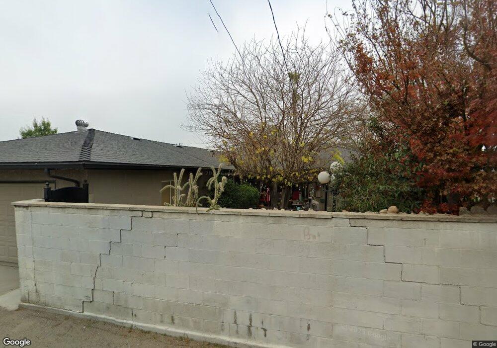
2902 N Ila Ave Fresno, CA 93705
Roeding Park NeighborhoodEstimated Value: $345,000 - $414,000
3
Beds
2
Baths
1,503
Sq Ft
$247/Sq Ft
Est. Value
About This Home
This home is located at 2902 N Ila Ave, Fresno, CA 93705 and is currently estimated at $370,701, approximately $246 per square foot. 2902 N Ila Ave is a home located in Fresno County with nearby schools including Homan Elementary School, Fort Miller Middle School, and Fresno High School.
Ownership History
Date
Name
Owned For
Owner Type
Purchase Details
Closed on
Dec 8, 2000
Sold by
Anna Palazuelos Y and Eve Lara
Bought by
Feagaimaalii Toga M and Feagaimaalii Lori A
Current Estimated Value
Home Financials for this Owner
Home Financials are based on the most recent Mortgage that was taken out on this home.
Original Mortgage
$110,000
Outstanding Balance
$40,565
Interest Rate
7.71%
Mortgage Type
Stand Alone First
Estimated Equity
$330,136
Create a Home Valuation Report for This Property
The Home Valuation Report is an in-depth analysis detailing your home's value as well as a comparison with similar homes in the area
Home Values in the Area
Average Home Value in this Area
Purchase History
| Date | Buyer | Sale Price | Title Company |
|---|---|---|---|
| Feagaimaalii Toga M | $110,000 | First American Title Ins Co |
Source: Public Records
Mortgage History
| Date | Status | Borrower | Loan Amount |
|---|---|---|---|
| Open | Feagaimaalii Toga M | $110,000 | |
| Closed | Feagaimaalii Toga M | $11,000 |
Source: Public Records
Tax History Compared to Growth
Tax History
| Year | Tax Paid | Tax Assessment Tax Assessment Total Assessment is a certain percentage of the fair market value that is determined by local assessors to be the total taxable value of land and additions on the property. | Land | Improvement |
|---|---|---|---|---|
| 2025 | $1,897 | $150,659 | $39,166 | $111,493 |
| 2023 | $1,861 | $144,811 | $37,647 | $107,164 |
| 2022 | $1,836 | $141,972 | $36,909 | $105,063 |
| 2021 | $1,786 | $139,189 | $36,186 | $103,003 |
| 2020 | $1,778 | $137,762 | $35,815 | $101,947 |
| 2019 | $1,710 | $135,062 | $35,113 | $99,949 |
| 2018 | $1,673 | $132,415 | $34,425 | $97,990 |
| 2017 | $1,645 | $129,819 | $33,750 | $96,069 |
| 2016 | $1,591 | $127,275 | $33,089 | $94,186 |
| 2015 | $1,567 | $125,364 | $32,592 | $92,772 |
| 2014 | $1,535 | $122,909 | $31,954 | $90,955 |
Source: Public Records
Map
Nearby Homes
- 1518 W Michigan Ave
- 2705 N West Ave
- 1523 W Cornell Ave
- 1646 W Cornell Ave
- 1434 W Terrace Ave
- 2832 N Hacienda Dr
- 917 W Brown Ave
- 1413 W Fountain Way
- 1205 W Clinton Ave
- 1911 W Simpson Ave
- 1708 W Andrews Ave
- 804 W Michigan Ave
- 1206 W Vassar Ave
- 2839 N Delno Ave
- 3125 N Pacific Ave
- 1528 W Cortland Ave
- 1331 W Yale Ave
- 1633 W Dayton Ave
- 728 W Vassar Ave
- 1025 W Fedora Ave
- 1401 W Michigan Ave
- 2912 N Ila Ave
- 2833 N West Ave
- 1411 W Michigan Ave
- 2922 N Ila Ave
- 1334 W Princeton Ave
- 1421 W Michigan Ave
- 2813 N West Ave
- 1344 W Princeton Ave
- 2932 N Ila Ave
- 1408 W Michigan Ave
- 1404 W Princeton Ave
- 1431 W Michigan Ave
- 2929 N West Ave
- 1322 W Princeton Ave
- 1418 W Michigan Ave
- 1420 W Princeton Ave
- 1428 W Michigan Ave
- 2942 N Ila Ave
- 2943 N Ila Ave