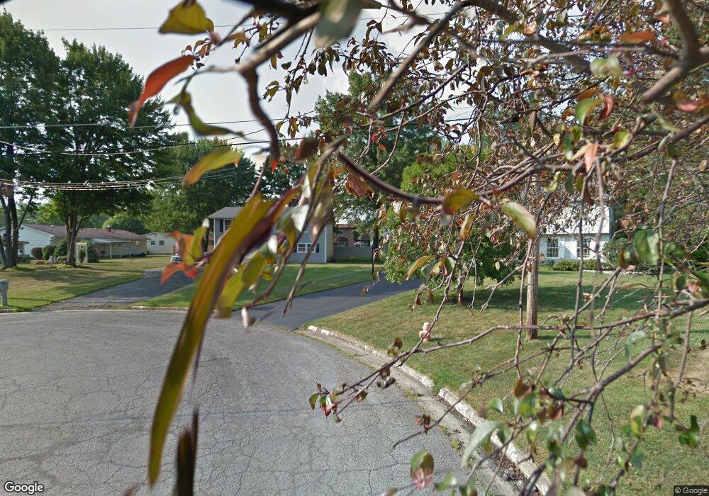
2905 Ansel Ct Youngstown, OH 44511
Austintown NeighborhoodEstimated Value: $197,096 - $226,000
3
Beds
2
Baths
1,664
Sq Ft
$129/Sq Ft
Est. Value
About This Home
This home is located at 2905 Ansel Ct, Youngstown, OH 44511 and is currently estimated at $214,774, approximately $129 per square foot. 2905 Ansel Ct is a home located in Mahoning County with nearby schools including Austintown Elementary School, Austintown Intermediate School, and Austintown Middle School.
Ownership History
Date
Name
Owned For
Owner Type
Purchase Details
Closed on
Aug 17, 2007
Sold by
Va
Bought by
Miglets Eric S
Current Estimated Value
Home Financials for this Owner
Home Financials are based on the most recent Mortgage that was taken out on this home.
Original Mortgage
$68,130
Outstanding Balance
$43,070
Interest Rate
6.63%
Mortgage Type
FHA
Estimated Equity
$171,704
Purchase Details
Closed on
Jan 18, 2007
Sold by
Eargle Odell and Eargle Shunita
Bought by
Va
Purchase Details
Closed on
Aug 28, 2000
Sold by
Brown Bernard I and Brown Sherrie V
Bought by
Eargle Odell
Home Financials for this Owner
Home Financials are based on the most recent Mortgage that was taken out on this home.
Original Mortgage
$90,780
Interest Rate
8.12%
Purchase Details
Closed on
Jul 30, 1992
Bought by
Brown Bernard and Brown Sherrie
Create a Home Valuation Report for This Property
The Home Valuation Report is an in-depth analysis detailing your home's value as well as a comparison with similar homes in the area
Home Values in the Area
Average Home Value in this Area
Purchase History
| Date | Buyer | Sale Price | Title Company |
|---|---|---|---|
| Miglets Eric S | -- | None Available | |
| Va | $58,000 | None Available | |
| Eargle Odell | $89,000 | -- | |
| Brown Bernard | $68,900 | -- |
Source: Public Records
Mortgage History
| Date | Status | Borrower | Loan Amount |
|---|---|---|---|
| Open | Miglets Eric S | $68,130 | |
| Previous Owner | Eargle Odell | $90,780 |
Source: Public Records
Tax History Compared to Growth
Tax History
| Year | Tax Paid | Tax Assessment Tax Assessment Total Assessment is a certain percentage of the fair market value that is determined by local assessors to be the total taxable value of land and additions on the property. | Land | Improvement |
|---|---|---|---|---|
| 2024 | $2,430 | $52,570 | $7,840 | $44,730 |
| 2023 | $2,388 | $52,570 | $7,840 | $44,730 |
| 2022 | $2,025 | $35,710 | $7,840 | $27,870 |
| 2021 | $2,076 | $35,710 | $7,840 | $27,870 |
| 2020 | $2,085 | $35,710 | $7,840 | $27,870 |
| 2019 | $2,062 | $31,880 | $7,000 | $24,880 |
| 2018 | $1,989 | $31,880 | $7,000 | $24,880 |
| 2017 | $1,968 | $31,880 | $7,000 | $24,880 |
| 2016 | $1,920 | $30,790 | $7,000 | $23,790 |
| 2015 | $1,865 | $30,790 | $7,000 | $23,790 |
| 2014 | $1,873 | $30,790 | $7,000 | $23,790 |
| 2013 | $1,854 | $30,790 | $7,000 | $23,790 |
Source: Public Records
Map
Nearby Homes
- 3662 Monaca Ave
- 2500 Redgate Ln
- 3401 Susan Cir
- 3300 Briarwood Ln
- 2430 Redgate Ln
- 2699 Hamman Dr
- 3913 Claridge Dr
- 4101 Canfield Rd
- 2108 Cranbrook Dr
- 2827 S Schenley Ave
- 3852 Edinburgh Dr
- 2866 Peacock Dr
- 4241 Wedgewood Dr
- 3873 Whippoorwill Ln
- 4289 Wedgewood Dr
- 3890 Ayrshire Dr
- 40 Woodleigh Ct
- 2981 Louise Rita Ct
- 4166 Burgett Ln
- 4231 Canfield Rd
- 2915 Ansel Ct
- 2855 Vollmer Dr
- 2785 Bangor Ct
- 2885 Vollmer Dr
- 2825 Vollmer Dr
- 2775 Bangor Ct
- 2925 Ansel Ct
- 2795 Vollmer Dr
- 2965 Vollmer Dr
- 2765 Bangor Ct
- 2935 Ansel Ct
- 2880 Vollmer Dr
- 2850 Vollmer Dr
- 2910 Vollmer Dr
- 2995 Vollmer Dr
- 2940 Vollmer Dr
- 2820 Vollmer Dr
- 2735 Vollmer Dr
- 2970 Vollmer Dr
- 4035 Meadow Ln
