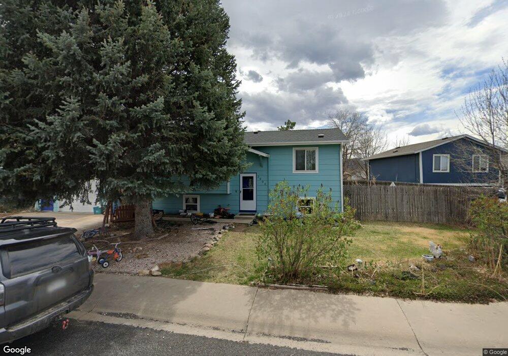
2905 Double Tree Dr Fort Collins, CO 80521
Estimated Value: $489,000 - $528,141
4
Beds
2
Baths
1,760
Sq Ft
$290/Sq Ft
Est. Value
About This Home
This home is located at 2905 Double Tree Dr, Fort Collins, CO 80521 and is currently estimated at $511,035, approximately $290 per square foot. 2905 Double Tree Dr is a home located in Larimer County with nearby schools including Irish Elementary School, Cache La Poudre Middle School, and Poudre High School.
Ownership History
Date
Name
Owned For
Owner Type
Purchase Details
Closed on
Jun 25, 2010
Sold by
Gunderson Gerald A
Bought by
Livingston Kerry
Current Estimated Value
Home Financials for this Owner
Home Financials are based on the most recent Mortgage that was taken out on this home.
Original Mortgage
$177,608
Outstanding Balance
$122,532
Interest Rate
5.5%
Mortgage Type
FHA
Estimated Equity
$388,503
Purchase Details
Closed on
Mar 15, 2010
Sold by
Federal Home Loan Mortgage Corporation
Bought by
Gunderson Gerald A
Purchase Details
Closed on
Apr 19, 1999
Sold by
Hofeling Daniel Lee Sheri Lyn
Bought by
Meeneghan Cristina M and Meeneghan Eric R
Home Financials for this Owner
Home Financials are based on the most recent Mortgage that was taken out on this home.
Original Mortgage
$110,675
Interest Rate
6.62%
Purchase Details
Closed on
Feb 1, 1991
Bought by
Hofeling Daniel Lee
Create a Home Valuation Report for This Property
The Home Valuation Report is an in-depth analysis detailing your home's value as well as a comparison with similar homes in the area
Home Values in the Area
Average Home Value in this Area
Purchase History
| Date | Buyer | Sale Price | Title Company |
|---|---|---|---|
| Livingston Kerry | $180,000 | Stewart Title | |
| Gunderson Gerald A | $98,500 | None Available | |
| Meeneghan Cristina M | $116,500 | Land Title | |
| Hofeling Daniel Lee | $55,000 | -- |
Source: Public Records
Mortgage History
| Date | Status | Borrower | Loan Amount |
|---|---|---|---|
| Open | Livingston Kerry | $177,608 | |
| Previous Owner | Meeneghan Cristina M | $110,675 |
Source: Public Records
Tax History Compared to Growth
Tax History
| Year | Tax Paid | Tax Assessment Tax Assessment Total Assessment is a certain percentage of the fair market value that is determined by local assessors to be the total taxable value of land and additions on the property. | Land | Improvement |
|---|---|---|---|---|
| 2025 | $2,992 | $34,472 | $2,345 | $32,127 |
| 2024 | $2,849 | $34,472 | $2,345 | $32,127 |
| 2022 | $2,479 | $25,973 | $2,433 | $23,540 |
| 2021 | $2,501 | $26,720 | $2,503 | $24,217 |
| 2020 | $2,254 | $23,874 | $2,503 | $21,371 |
| 2019 | $2,264 | $23,874 | $2,503 | $21,371 |
| 2018 | $1,808 | $19,670 | $2,520 | $17,150 |
| 2017 | $1,802 | $19,670 | $2,520 | $17,150 |
| 2016 | $1,680 | $18,244 | $2,786 | $15,458 |
| 2015 | $1,668 | $18,250 | $2,790 | $15,460 |
| 2014 | $1,386 | $15,060 | $2,790 | $12,270 |
Source: Public Records
Map
Nearby Homes
- 3075 Headwater Dr
- 1361 Bubbling Brook Ct
- 2205 Stonecrest Dr
- 1340 N Taft Hill Rd
- 2121 Liberty Dr
- 508 N Sunset St
- 2810 Cherry Ln
- 329 N Sunset St
- 410 High Ct
- 2816 W County Road 54g
- 3501 Vernon Dr
- 2708 Laporte Ave
- 2704 Laporte Ave
- 241 N Taft Hill Rd
- 2801 Farview Dr
- 2833 N Overland Trail
- 123 County Road 19
- 209 N Taft Hill Rd
- 2028 Laporte Ave
- 4516 Bingham Hill Rd
- 2909 Double Tree Dr
- 2901 Double Tree Dr
- 2904 Swing Station Way
- 2908 Swing Station Way
- 2913 Double Tree Dr
- 2912 Swing Station Way
- 2808 Double Tree Dr
- 2804 Double Tree Dr
- 2917 Double Tree Dr
- 2812 Double Tree Dr
- 2916 Swing Station Way
- 2805 Swing Station Way
- 2816 Double Tree Dr
- 2901 Swing Station Way
- 2929 Stage Ct
- 2917 Swing Station Way
- 2913 Swing Station Way
- 2921 Swing Station Way
- 2933 Stage Ct
- 2920 Swing Station Way