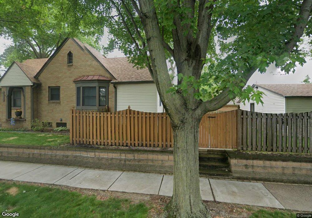
2905 E Locust St Davenport, IA 52803
East End NeighborhoodEstimated Value: $239,333 - $260,000
2
Beds
3
Baths
1,792
Sq Ft
$138/Sq Ft
Est. Value
About This Home
This home is located at 2905 E Locust St, Davenport, IA 52803 and is currently estimated at $248,083, approximately $138 per square foot. 2905 E Locust St is a home located in Scott County with nearby schools including McKinley Elementary School, Sudlow Intermediate School, and Central High School.
Ownership History
Date
Name
Owned For
Owner Type
Purchase Details
Closed on
Oct 4, 2018
Sold by
Corsiglia Anthony F and Corsiglia Jane R
Bought by
T Anthony
Current Estimated Value
Purchase Details
Closed on
Jun 21, 2005
Sold by
Farris Anthony M
Bought by
Corsiglia Anthony F and Jane Corsiglia R
Create a Home Valuation Report for This Property
The Home Valuation Report is an in-depth analysis detailing your home's value as well as a comparison with similar homes in the area
Home Values in the Area
Average Home Value in this Area
Purchase History
| Date | Buyer | Sale Price | Title Company |
|---|---|---|---|
| T Anthony | -- | -- | |
| Corsiglia Anthony F | $135,000 | None Available |
Source: Public Records
Tax History
| Year | Tax Paid | Tax Assessment Tax Assessment Total Assessment is a certain percentage of the fair market value that is determined by local assessors to be the total taxable value of land and additions on the property. | Land | Improvement |
|---|---|---|---|---|
| 2025 | $3,478 | $226,920 | $21,560 | $205,360 |
| 2024 | $3,502 | $226,920 | $21,560 | $205,360 |
| 2023 | $3,726 | $226,920 | $21,560 | $205,360 |
| 2022 | $3,740 | $186,690 | $19,600 | $167,090 |
| 2021 | $3,740 | $186,690 | $19,600 | $167,090 |
| 2020 | $3,792 | $186,690 | $19,600 | $167,090 |
| 2019 | $3,924 | $186,690 | $19,600 | $167,090 |
| 2018 | $3,836 | $186,690 | $19,600 | $167,090 |
| 2017 | $1,020 | $186,690 | $19,600 | $167,090 |
| 2016 | $3,574 | $175,220 | $0 | $0 |
| 2015 | $3,574 | $167,660 | $0 | $0 |
| 2014 | $3,456 | $167,660 | $0 | $0 |
| 2013 | $3,390 | $0 | $0 | $0 |
| 2012 | -- | $172,200 | $23,320 | $148,880 |
Source: Public Records
Map
Nearby Homes
- 2839 E Locust St
- 2810 Middle Rd
- 3015 E 18th St
- 3215 E Locust St Unit A1-4
- 3215 E Locust St Unit A2-23
- 2509 East St
- 70 Crestwood Terrace
- 71 Crestwood Terrace
- 1611 Coffelt Ave
- 1228 Coffelt Ave
- 1360 Heights Ct
- 1435 Jersey Ridge Rd
- 2316 East St
- 1815 Belle Ave
- 1803 Belle Ave
- 1816 Belle Ave
- 60 Custer Terrace
- 2304 Elm St
- 204 Greenwood Ave
- 1360 Kimberly Ridge Rd Unit 111
- 1827 Fernwood Ave
- 2915 E Locust St
- 2843 E Locust St
- 2908 E 18th St
- 2902 E 18th St
- 2914 E 18th St
- 2925 E Locust St
- 2918 E 18th St
- 2844 E 18th St
- 2924 E 18th St
- 2833 E Locust St
- 2931 E Locust St
- 1906 Fernwood Ave
- 2840 E 18th St
- 2928 E 18th St
- 2829 E Locust St
- 2834 E 18th St
- 2854 E Locust St
- 2934 E 18th St
- 2937 E Locust St
Your Personal Tour Guide
Ask me questions while you tour the home.