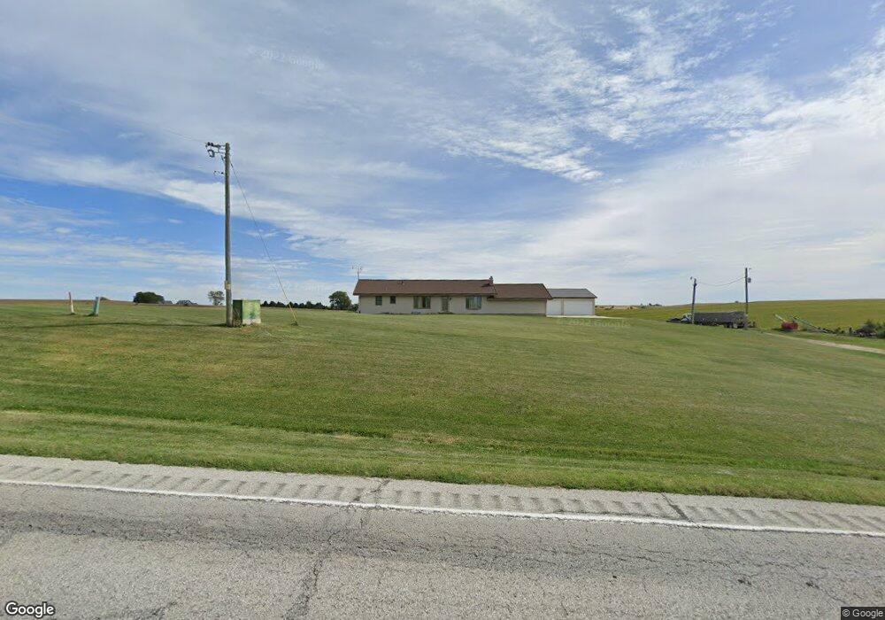
2906 Highway 59 Denison, IA 51442
Estimated Value: $269,000 - $481,957
4
Beds
1
Bath
1,624
Sq Ft
$224/Sq Ft
Est. Value
About This Home
This home is located at 2906 Highway 59, Denison, IA 51442 and is currently estimated at $363,489, approximately $223 per square foot. 2906 Highway 59 is a home located in Crawford County with nearby schools including Denison Elementary School, Broadway Elementary School, and Denison Middle School.
Ownership History
Date
Name
Owned For
Owner Type
Purchase Details
Closed on
Jun 30, 2011
Sold by
Crawford County Trust & Savings Bank
Bought by
Lueck Kenneth W and Lueck Barbara
Current Estimated Value
Home Financials for this Owner
Home Financials are based on the most recent Mortgage that was taken out on this home.
Original Mortgage
$146,000
Outstanding Balance
$100,318
Interest Rate
4.56%
Mortgage Type
Commercial
Estimated Equity
$263,171
Create a Home Valuation Report for This Property
The Home Valuation Report is an in-depth analysis detailing your home's value as well as a comparison with similar homes in the area
Home Values in the Area
Average Home Value in this Area
Purchase History
| Date | Buyer | Sale Price | Title Company |
|---|---|---|---|
| Lueck Kenneth W | $146,000 | None Available |
Source: Public Records
Mortgage History
| Date | Status | Borrower | Loan Amount |
|---|---|---|---|
| Open | Lueck Kenneth W | $146,000 |
Source: Public Records
Tax History Compared to Growth
Tax History
| Year | Tax Paid | Tax Assessment Tax Assessment Total Assessment is a certain percentage of the fair market value that is determined by local assessors to be the total taxable value of land and additions on the property. | Land | Improvement |
|---|---|---|---|---|
| 2025 | $4,854 | $387,120 | $100,260 | $286,860 |
| 2024 | $4,854 | $368,970 | $82,000 | $286,970 |
| 2023 | $4,592 | $368,970 | $82,000 | $286,970 |
| 2022 | $4,458 | $286,000 | $60,430 | $225,570 |
| 2021 | $4,316 | $281,600 | $60,430 | $221,170 |
| 2020 | $4,280 | $262,560 | $58,530 | $204,030 |
| 2019 | $4,226 | $287,200 | $0 | $0 |
| 2018 | $3,850 | $269,080 | $81,260 | $187,820 |
| 2017 | $3,350 | $269,080 | $81,260 | $187,820 |
| 2016 | $3,280 | $249,910 | $0 | $0 |
| 2015 | $3,280 | $256,040 | $0 | $0 |
| 2014 | $3,248 | $247,220 | $0 | $0 |
Source: Public Records
Map
Nearby Homes
- Lot 9 Donna Reed Rd
- 1526 S Main St
- 1510 S Main St
- 1200 S 15th St
- 2391 Maple Ridge Dr
- 1420 3rd Ave S
- 219 S Main St
- 2386 O Ave
- 111 Morningside Dr
- 2910 Highway 30 E
- 1428 2nd Ave S
- 0 S 25th St Unit 6307972
- 0 S 25th St Unit 6307971
- 0 S 25th St Unit 6307970
- 0 S 25th St Unit 6307968
- 0 S 25th St Unit 6307967
- 0 S 25th St Unit 6307966
- 27 S Main St
- 117 N 25th St
- 1722 1st Ave N