Estimated Value: $56,000 - $109,439
1
Bed
1
Bath
840
Sq Ft
$101/Sq Ft
Est. Value
About This Home
This home is located at 291 Strong Rd, Owego, NY 13827 and is currently estimated at $84,813, approximately $100 per square foot. 291 Strong Rd is a home located in Tioga County with nearby schools including Apalachin Elementary School, Owego-Apalachin Middle School, and Owego Free Academy.
Ownership History
Date
Name
Owned For
Owner Type
Purchase Details
Closed on
Jun 9, 2025
Sold by
Miller Deborah W
Bought by
Wells Fargo Bank Na
Current Estimated Value
Purchase Details
Closed on
Mar 20, 2006
Sold by
Cottrell Thomas He Lee A
Bought by
Hopkins Joseph M
Home Financials for this Owner
Home Financials are based on the most recent Mortgage that was taken out on this home.
Original Mortgage
$55,735
Interest Rate
6.28%
Mortgage Type
Purchase Money Mortgage
Purchase Details
Closed on
Nov 21, 2002
Sold by
Pcfs
Bought by
Cottrell Thomas H E
Purchase Details
Closed on
Jul 18, 2002
Create a Home Valuation Report for This Property
The Home Valuation Report is an in-depth analysis detailing your home's value as well as a comparison with similar homes in the area
Home Values in the Area
Average Home Value in this Area
Purchase History
| Date | Buyer | Sale Price | Title Company |
|---|---|---|---|
| Wells Fargo Bank Na | $55,000 | None Available | |
| Hopkins Joseph M | $56,500 | Frederick Xlander | |
| Hopkins Joseph M | $56,500 | Frederick Xlander | |
| Cottrell Thomas H E | $29,750 | Adam R Schumacher | |
| Cottrell Thomas H E | $29,750 | Adam R Schumacher | |
| -- | -- | -- | |
| -- | -- | -- |
Source: Public Records
Mortgage History
| Date | Status | Borrower | Loan Amount |
|---|---|---|---|
| Previous Owner | Hopkins Joseph M | $55,735 |
Source: Public Records
Tax History Compared to Growth
Tax History
| Year | Tax Paid | Tax Assessment Tax Assessment Total Assessment is a certain percentage of the fair market value that is determined by local assessors to be the total taxable value of land and additions on the property. | Land | Improvement |
|---|---|---|---|---|
| 2024 | $1,566 | $31,100 | $5,400 | $25,700 |
| 2023 | $16 | $31,100 | $5,400 | $25,700 |
| 2022 | $1,587 | $31,100 | $5,400 | $25,700 |
| 2021 | $972 | $31,100 | $5,400 | $25,700 |
| 2020 | $905 | $31,100 | $5,400 | $25,700 |
| 2019 | $247 | $31,100 | $5,400 | $25,700 |
| 2018 | $839 | $31,100 | $5,400 | $25,700 |
| 2017 | $818 | $31,100 | $5,400 | $25,700 |
| 2016 | $812 | $31,100 | $5,400 | $25,700 |
| 2015 | -- | $31,100 | $5,400 | $25,700 |
| 2014 | -- | $31,100 | $5,400 | $25,700 |
Source: Public Records
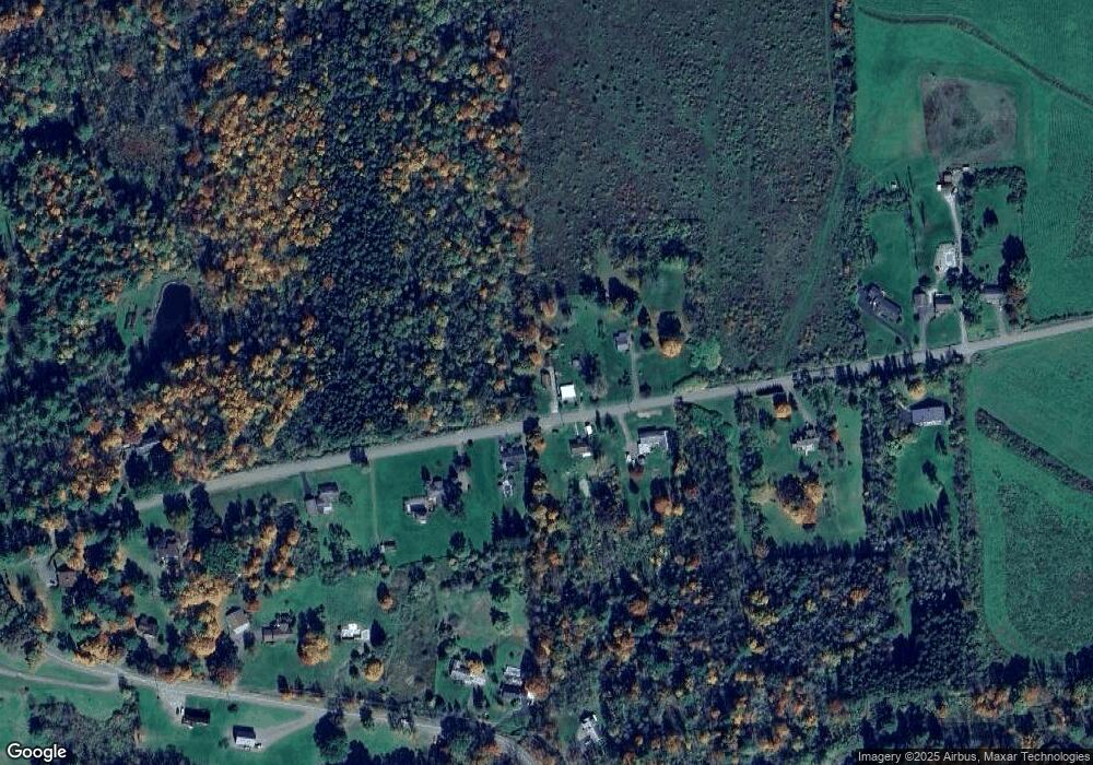
Map
Nearby Homes
- 307 Strong Rd
- 337 Strong Rd
- 306 Strong Rd
- 268 Strong Rd
- 336 Strong Rd
- 236 Strong Rd
- 769 Montrose Turnpike
- 412 Strong Rd
- 871 Montrose Turnpike
- 893 Montrose Turnpike
- 471 Strong Rd
- 815 Montrose Turnpike
- 172 Strong Rd
- 935 Montrose Turnpike
- 464 Strong Rd
- 491 Strong Rd
- 65 Strong Rd
- 92 Strong Rd
- 943 Montrose Turnpike
- 699 Montrose Turnpike