291 Upper Bay Rd Sanbornton, NH 03269
Sanbornton NeighborhoodEstimated Value: $724,000 - $1,079,534
4
Beds
4
Baths
3,726
Sq Ft
$251/Sq Ft
Est. Value
About This Home
This home is located at 291 Upper Bay Rd, Sanbornton, NH 03269 and is currently estimated at $934,884, approximately $250 per square foot. 291 Upper Bay Rd is a home located in Belknap County with nearby schools including Sanbornton Central School, Winnisquam Regional Middle School, and Winnisquam Regional High School.
Ownership History
Date
Name
Owned For
Owner Type
Purchase Details
Closed on
Dec 23, 2014
Sold by
Gregory V Gorski Ret
Bought by
Sweeting James and Sweeting Karen
Current Estimated Value
Purchase Details
Closed on
Oct 15, 2014
Sold by
Faiella John and Faiella Denise
Bought by
Gregory V Gorski Ret
Purchase Details
Closed on
Sep 10, 2012
Sold by
Gorski Gregory V
Bought by
Faiella John and Faiella Denise
Create a Home Valuation Report for This Property
The Home Valuation Report is an in-depth analysis detailing your home's value as well as a comparison with similar homes in the area
Home Values in the Area
Average Home Value in this Area
Purchase History
| Date | Buyer | Sale Price | Title Company |
|---|---|---|---|
| Sweeting James | $342,500 | -- | |
| Sweeting James | $342,500 | -- | |
| Gregory V Gorski Ret | $280,000 | -- | |
| Gregory V Gorski Ret | $280,000 | -- | |
| Faiella John | $390,000 | -- | |
| Faiella John | $390,000 | -- |
Source: Public Records
Mortgage History
| Date | Status | Borrower | Loan Amount |
|---|---|---|---|
| Previous Owner | Faiella John | $415,000 | |
| Closed | Faiella John | $0 |
Source: Public Records
Tax History Compared to Growth
Tax History
| Year | Tax Paid | Tax Assessment Tax Assessment Total Assessment is a certain percentage of the fair market value that is determined by local assessors to be the total taxable value of land and additions on the property. | Land | Improvement |
|---|---|---|---|---|
| 2024 | $10,431 | $814,300 | $195,100 | $619,200 |
| 2023 | $9,804 | $814,300 | $195,100 | $619,200 |
| 2022 | $8,904 | $448,100 | $141,600 | $306,500 |
| 2021 | $8,236 | $448,100 | $141,600 | $306,500 |
| 2020 | $9,043 | $448,100 | $141,600 | $306,500 |
| 2019 | $8,612 | $448,100 | $141,600 | $306,500 |
| 2018 | $8,608 | $448,100 | $141,600 | $306,500 |
| 2017 | $8,608 | $364,300 | $100,800 | $263,500 |
| 2016 | $8,608 | $364,300 | $100,800 | $263,500 |
| 2015 | $8,747 | $364,300 | $100,800 | $263,500 |
| 2014 | $8,368 | $364,300 | $100,800 | $263,500 |
| 2013 | $11,375 | $495,200 | $124,400 | $370,800 |
Source: Public Records
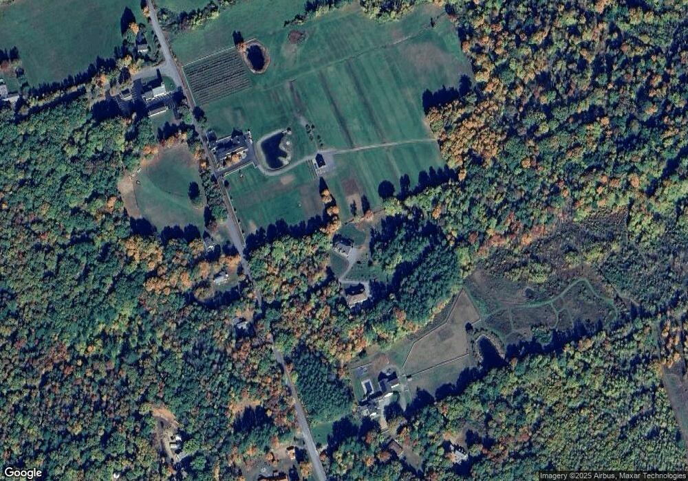
Map
Nearby Homes
- 118 Upper Bay Rd
- 92 Leavitt Rd
- 130 Upper Smith Rd
- 100 Lower Bay Rd
- 11 Penny Ln
- 0 Black Brook Rd Unit 5063655
- 32 Eastman Shore Rd S
- 11-1 Knotty Way
- 36 New Rd
- 16 Birchwood Way
- US Rt3 Daniel Webster Hwy
- 58 Shore Dr
- 1480 Old North Main St Unit 6
- 1480 Old N Main St Unit 14
- 11-4 Knotty Way
- 100 Cram Rd
- 1420 Old North Main St
- 13 Courtesy Ave
- 10 Courtesy Ave
- 27 Wentworth Ave
- 291 Upper Bay Rd
- 291 Upper Bay Rd Unit B
- 291 Upper Bay Rd Unit A
- 291 Upper Bay Rd
- 291B Upper Bay Rd
- 12 Davis Rd
- 12 Davis Rd Unit 116, 116-1, 116-2
- 291A Upper Bay Rd
- Lot 115.1 Upper Bay Rd
- 315 Upper Bay Rd
- 21 Davis Rd
- 282 Upper Bay Rd
- 290 Upper Bay Rd
- 0 Steele Hill Rd
- 270 Upper Bay Rd
- 3 Davis Rd
- 1 Steele Hill Rd
- 258 Upper Bay Rd
- 229 Upper Bay Rd
- 236 Upper Bay Rd