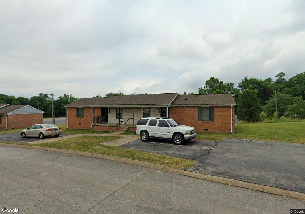
291 Wayne St Columbia, TN 38401
Estimated Value: $1,238,492
--
Bed
--
Bath
14,200
Sq Ft
$87/Sq Ft
Est. Value
About This Home
This home is located at 291 Wayne St, Columbia, TN 38401 and is currently estimated at $1,238,492, approximately $87 per square foot. 291 Wayne St is a home located in Maury County with nearby schools including J. Brown Elementary School, Whitthorne Middle School, and Columbia Central High School.
Ownership History
Date
Name
Owned For
Owner Type
Purchase Details
Closed on
Aug 2, 2020
Sold by
Rosenberry Jill and Seadler Rick
Bought by
Connection Church Baptist
Current Estimated Value
Purchase Details
Closed on
Aug 30, 2018
Sold by
New St Paul Missionary Llc
Bought by
Thompson Station Baptist Church
Purchase Details
Closed on
Jun 15, 1998
Sold by
Friendship Missionary Baptist Church
Bought by
Friendship Missionary Baptist Church Of
Purchase Details
Closed on
Nov 6, 1996
Sold by
City Of Columbia
Bought by
Friendship Missionary Baptist Church
Purchase Details
Closed on
Jul 1, 1989
Bought by
Snedegar Robert S
Create a Home Valuation Report for This Property
The Home Valuation Report is an in-depth analysis detailing your home's value as well as a comparison with similar homes in the area
Home Values in the Area
Average Home Value in this Area
Purchase History
| Date | Buyer | Sale Price | Title Company |
|---|---|---|---|
| Connection Church Baptist | -- | None Available | |
| Thompson Station Baptist Church | $685,000 | None Available | |
| Friendship Missionary Baptist Church Of | -- | -- | |
| Friendship Missionary Baptist Church | $18,500 | -- | |
| Snedegar Robert S | -- | -- |
Source: Public Records
Tax History Compared to Growth
Tax History
| Year | Tax Paid | Tax Assessment Tax Assessment Total Assessment is a certain percentage of the fair market value that is determined by local assessors to be the total taxable value of land and additions on the property. | Land | Improvement |
|---|---|---|---|---|
| 2024 | -- | -- | -- | -- |
| 2023 | -- | -- | -- | -- |
| 2022 | $0 | $0 | $0 | $0 |
| 2021 | $0 | $0 | $0 | $0 |
| 2020 | $0 | $0 | $0 | $0 |
| 2019 | $0 | $0 | $0 | $0 |
| 2018 | $5,329 | $238,280 | $10,480 | $227,800 |
| 2017 | $10,121 | $237,880 | $10,480 | $227,400 |
| 2016 | $10,122 | $237,880 | $10,480 | $227,400 |
| 2015 | $9,658 | $237,880 | $10,480 | $227,400 |
| 2014 | $9,658 | $237,880 | $10,480 | $227,400 |
Source: Public Records
Map
Nearby Homes
- 120 Dogwood Dr
- 100 Beech St
- 309 Polk St
- 413 Hughes Ave
- 310 E Highland Dr
- 317 E 18th St
- 2013 S Main St
- 2124 Circle Dr
- 2135 Thomas Ave
- 0 Horizon Way Unit RTC2769904
- 202 Hanson Ln
- 211 Hanson Ln
- 412 Mooresville Pike
- 317 E 17th St
- 311 E 17th St
- 2204 Denham Ave
- 613 Skyline Dr
- 1800 S Main St
- 310 E 15th St
- 1923 Overton Dr