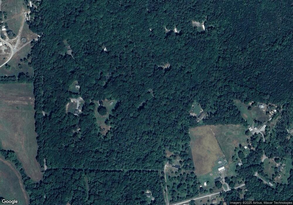
2910 Forrest Rd Partlow, VA 22534
Margo NeighborhoodEstimated Value: $201,943 - $306,000
2
Beds
2
Baths
960
Sq Ft
$276/Sq Ft
Est. Value
About This Home
This home is located at 2910 Forrest Rd, Partlow, VA 22534 and is currently estimated at $264,986, approximately $276 per square foot. 2910 Forrest Rd is a home located in Spotsylvania County with nearby schools including Berkeley Elementary School, Post Oak Middle School, and Spotsylvania High School.
Ownership History
Date
Name
Owned For
Owner Type
Purchase Details
Closed on
Dec 9, 2019
Sold by
Shook Calvin Michael and Carver Michelle
Bought by
Carver Michelle
Current Estimated Value
Purchase Details
Closed on
Oct 17, 2000
Sold by
Coleman Ronald
Bought by
Shook Calvin M
Home Financials for this Owner
Home Financials are based on the most recent Mortgage that was taken out on this home.
Original Mortgage
$80,000
Outstanding Balance
$29,113
Interest Rate
7.89%
Mortgage Type
Purchase Money Mortgage
Estimated Equity
$235,873
Create a Home Valuation Report for This Property
The Home Valuation Report is an in-depth analysis detailing your home's value as well as a comparison with similar homes in the area
Home Values in the Area
Average Home Value in this Area
Purchase History
| Date | Buyer | Sale Price | Title Company |
|---|---|---|---|
| Carver Michelle | -- | None Available | |
| Shook Calvin M | $90,000 | -- |
Source: Public Records
Mortgage History
| Date | Status | Borrower | Loan Amount |
|---|---|---|---|
| Open | Shook Calvin M | $80,000 |
Source: Public Records
Tax History
| Year | Tax Paid | Tax Assessment Tax Assessment Total Assessment is a certain percentage of the fair market value that is determined by local assessors to be the total taxable value of land and additions on the property. | Land | Improvement |
|---|---|---|---|---|
| 2025 | $725 | $98,700 | $58,800 | $39,900 |
| 2024 | $725 | $98,700 | $58,800 | $39,900 |
| 2023 | $681 | $88,200 | $51,700 | $36,500 |
| 2022 | $651 | $88,200 | $51,700 | $36,500 |
| 2021 | $635 | $78,500 | $49,000 | $29,500 |
| 2020 | $635 | $78,500 | $49,000 | $29,500 |
| 2019 | $618 | $72,900 | $42,300 | $30,600 |
| 2018 | $607 | $72,900 | $42,300 | $30,600 |
| 2017 | $1,311 | $77,100 | $42,300 | $34,800 |
| 2016 | $655 | $77,100 | $42,300 | $34,800 |
| 2015 | $607 | $63,400 | $35,600 | $27,800 |
| 2014 | $607 | $63,400 | $35,600 | $27,800 |
Source: Public Records
Map
Nearby Homes
- 10052 Fairview Rd
- 10000 Hummingbird Ln
- 85-A-19 Carlton Dr
- 2318 Waterside Dr
- 2180 Woodson Hollow Rd
- 3145 Lewiston Rd
- 0 Mt Olive Rd Unit VASP2031834
- 2105 Mount Olive Rd
- 4669 Partlow Rd
- 2937 Blount Dr
- 0 Shepherds Rd
- 4128 Jasper Ln
- 11604 Burton Ct
- 3707 Morning Glory Dr
- 131 Covenant Way
- 4049 Moody Town Rd
- 172 Covenant Way
- 11800 Dukes Dr
- 564 Equestrian Landing Trail
- lot 6 Equestrian Trail Way
- 2919 Forrest Rd
- 10109 Nelson Rd
- 3000 Forrest Rd
- 10110 Nelson Rd
- 2911 Forrest Rd
- 10115 Nelson Rd
- 10121 Nelson Rd
- 10120 Nelson Rd
- 10326 Swift Rd
- 10051 Hummingbird Ln
- 3005 Forrest Rd
- 10316 Swift Rd
- 10312 Swift Rd
- 3010 Forrest Rd
- 10330 Swift Rd
- 10101 Hummingbird Ln
- 10334 Swift Rd
- 10308 Swift Rd
- 10039 Hummingbird Ln
- 10029 Hummingbird Ln
Your Personal Tour Guide
Ask me questions while you tour the home.
