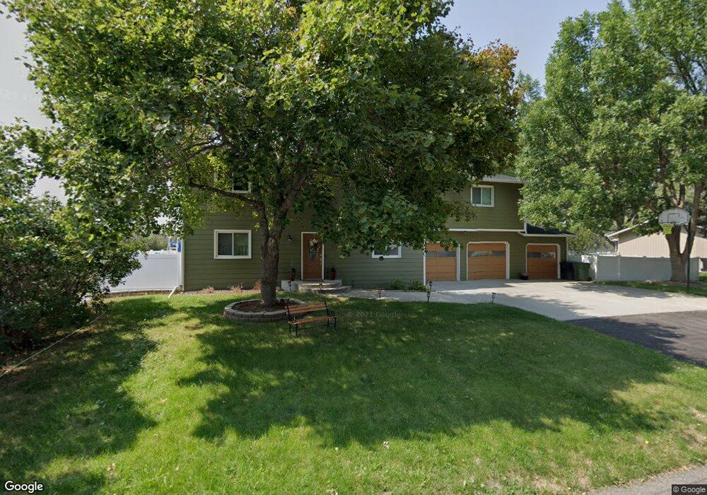
2912 Arnold Palmer Dr Billings, MT 59106
West Shiloh NeighborhoodEstimated Value: $488,000 - $534,000
5
Beds
3
Baths
2,592
Sq Ft
$201/Sq Ft
Est. Value
About This Home
This home is located at 2912 Arnold Palmer Dr, Billings, MT 59106 and is currently estimated at $520,325, approximately $200 per square foot. 2912 Arnold Palmer Dr is a home located in Yellowstone County with nearby schools including Boulder School, Ben Steele Middle School, and Billings West High School.
Ownership History
Date
Name
Owned For
Owner Type
Purchase Details
Closed on
Jul 19, 2017
Sold by
Sherwin David R
Bought by
Mutchler Joseph T and Mutchler Kaycee
Current Estimated Value
Purchase Details
Closed on
Feb 9, 2009
Sold by
Dahl John E and Dahl Maria Elich
Bought by
Sherwin David R
Home Financials for this Owner
Home Financials are based on the most recent Mortgage that was taken out on this home.
Original Mortgage
$237,938
Interest Rate
5.01%
Mortgage Type
VA
Create a Home Valuation Report for This Property
The Home Valuation Report is an in-depth analysis detailing your home's value as well as a comparison with similar homes in the area
Home Values in the Area
Average Home Value in this Area
Purchase History
| Date | Buyer | Sale Price | Title Company |
|---|---|---|---|
| Mutchler Joseph T | -- | None Available | |
| Sherwin David R | -- | None Available |
Source: Public Records
Mortgage History
| Date | Status | Borrower | Loan Amount |
|---|---|---|---|
| Previous Owner | Sherwin David R | $237,938 |
Source: Public Records
Tax History Compared to Growth
Tax History
| Year | Tax Paid | Tax Assessment Tax Assessment Total Assessment is a certain percentage of the fair market value that is determined by local assessors to be the total taxable value of land and additions on the property. | Land | Improvement |
|---|---|---|---|---|
| 2025 | $4,296 | $491,600 | $107,652 | $383,948 |
| 2024 | $4,296 | $447,600 | $97,907 | $349,693 |
| 2023 | $4,296 | $447,600 | $97,907 | $349,693 |
| 2022 | $3,334 | $300,900 | $0 | $0 |
| 2021 | $3,165 | $300,900 | $0 | $0 |
| 2020 | $3,352 | $307,200 | $0 | $0 |
| 2019 | $3,198 | $307,200 | $0 | $0 |
| 2018 | $3,067 | $288,600 | $0 | $0 |
| 2017 | $2,549 | $275,300 | $0 | $0 |
| 2016 | $2,552 | $248,000 | $0 | $0 |
| 2015 | $2,495 | $248,000 | $0 | $0 |
| 2014 | $1,909 | $98,633 | $0 | $0 |
Source: Public Records
Map
Nearby Homes
- 2659 Arnold Palmer Dr
- Lot 23 Aston Bay Cr
- Lot 24 Aston Bay Cr
- Lot 22 Aston Bay Cr
- Lot 21 Aston Bay Cr
- Lot 14 Glynn Abby Trail
- Lot 13 Glynn Abby Trail
- 2605 62nd St W
- 2931 Eagle Butte Trail
- 2933 Eagle Butte Tr Unit 140
- 3127 Falcon Cir
- 6309 Decker Ln
- 6310 Decker Ln
- 6312 Decker Ln
- 6386 Signal Peak Ave
- 6312 Absaloka Ln
- 3230 Ben Hogan Ln
- 6105 Colton Blvd
- 6387 Signal Peak Ave
- 6203 Western Bluffs Blvd
- 2922 Arnold Palmer Dr
- 2904 Arnold Palmer Dr
- 2915 Arnold Palmer Dr
- 5845 Rimrock Rd
- 2930 Arnold Palmer Dr
- 2905 Arnold Palmer Dr
- 2923 Arnold Palmer Dr
- 3 Van Arsdale Cir
- 2916 Mickey Wright Ln
- 2904 Mickey Wright Ln
- 2931 Arnold Palmer Dr
- 2938 Arnold Palmer Dr
- 2924 Mickey Wright Ln
- 5944 Rimrock Rd
- 2941 Arnold Palmer Dr
- 2930 Mickey Wright Ln
- 2946 Arnold Palmer Dr
- 000 Arnold Palmer Dr
- 5900 Rimrock Rd
- 3004 Arnold Palmer Dr