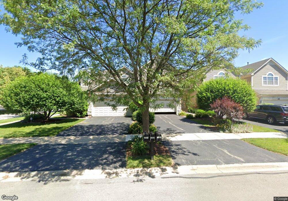
2912 Brossman St Naperville, IL 60564
Brook Crossing NeighborhoodEstimated Value: $425,000 - $551,000
Studio
1
Bath
2,038
Sq Ft
$229/Sq Ft
Est. Value
About This Home
This home is located at 2912 Brossman St, Naperville, IL 60564 and is currently estimated at $466,467, approximately $228 per square foot. 2912 Brossman St is a home located in Will County with nearby schools including Robert Clow Elementary School, Gordon Gregory Middle School, and Neuqua Valley High School.
Ownership History
Date
Name
Owned For
Owner Type
Purchase Details
Closed on
Jul 23, 2012
Sold by
Pinyawat Porntip and Porntip Pnyawat Trust
Bought by
Ahmed Shoeb and Akther Jolly
Current Estimated Value
Purchase Details
Closed on
Aug 29, 2000
Sold by
Pinyawat Porntip
Bought by
Pinyawat Porntip and Porntip Pinyawat Trust
Create a Home Valuation Report for This Property
The Home Valuation Report is an in-depth analysis detailing your home's value as well as a comparison with similar homes in the area
Home Values in the Area
Average Home Value in this Area
Purchase History
| Date | Buyer | Sale Price | Title Company |
|---|---|---|---|
| Ahmed Shoeb | $255,000 | None Available | |
| Pinyawat Porntip | -- | Chicago Title Insurance Co | |
| Pinyawat Porntip | $265,000 | Chicago Title Insurance Co |
Source: Public Records
Tax History
| Year | Tax Paid | Tax Assessment Tax Assessment Total Assessment is a certain percentage of the fair market value that is determined by local assessors to be the total taxable value of land and additions on the property. | Land | Improvement |
|---|---|---|---|---|
| 2024 | $8,363 | $135,676 | $25,502 | $110,174 |
| 2023 | $8,363 | $119,855 | $22,528 | $97,327 |
| 2022 | $7,603 | $110,933 | $21,311 | $89,622 |
| 2021 | $7,259 | $105,650 | $20,296 | $85,354 |
| 2020 | $7,118 | $103,976 | $19,974 | $84,002 |
| 2019 | $6,991 | $101,046 | $19,411 | $81,635 |
| 2018 | $6,653 | $94,810 | $18,984 | $75,826 |
| 2017 | $6,546 | $92,362 | $18,494 | $73,868 |
| 2016 | $6,530 | $90,374 | $18,096 | $72,278 |
| 2015 | $7,047 | $86,898 | $17,400 | $69,498 |
| 2014 | $7,047 | $91,669 | $17,400 | $74,269 |
| 2013 | $7,047 | $91,669 | $17,400 | $74,269 |
Source: Public Records
Map
Nearby Homes
- 3111 Landore Dr
- 3027 Brossman St
- 28W587 Leverenz Rd
- 28W555 Leverenz Rd
- 1126 Starlite Ct
- 1123 Thackery Ln
- 2828 Bluewater Cir
- 1107 Conan Doyle Rd Unit 2
- 2736 Bluewater Cir
- 1321 Galena Ct
- 3720 Mandeville Ln
- 2866 Stonewater Dr Unit 102
- 2503 Skylane Dr
- 723 Mesa Dr
- 3740 Caine Dr
- 820 Spring Creek Cir
- 29W316 Andermann Dr
- 2611 Cedar Glade Dr Unit 204
- 2652 Charlestowne Ln
- 3804 Relstar Ct
- 2910 Brossman St
- 2920 Brossman St
- 2908 Brossman St
- 2922 Brossman St
- 2906 Brossman St
- 2924 Brossman St
- 2904 Brossman St
- 2926 Brossman St
- 2928 Brossman St
- 2723 Salix Cir
- 2935 Brossman St
- 1827 Tamahawk Ln
- 2936 Brossman St
- 2936 Brossman St Unit 2936
- 2719 Salix Cir
- 2937 Brossman St
- 2938 Brossman St
- 1831 Tamahawk Ln
- 2939 Brossman St
- 2727 Salix Cir