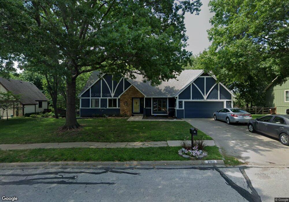
2912 Oxford Rd Lawrence, KS 66049
Sunset Hills NeighborhoodEstimated Value: $545,666 - $580,000
5
Beds
4
Baths
3,396
Sq Ft
$166/Sq Ft
Est. Value
About This Home
This home is located at 2912 Oxford Rd, Lawrence, KS 66049 and is currently estimated at $563,667, approximately $165 per square foot. 2912 Oxford Rd is a home located in Douglas County with nearby schools including Sunset Hill Elementary School, West Middle School, and Lawrence Free State High School.
Ownership History
Date
Name
Owned For
Owner Type
Purchase Details
Closed on
Jul 20, 2023
Sold by
Demers Catherine S
Bought by
Lauridsen Lee T
Current Estimated Value
Purchase Details
Closed on
Oct 12, 2001
Sold by
Jordan Christina L
Bought by
Lauridsen Lee T and Lauridsen Catherine S
Home Financials for this Owner
Home Financials are based on the most recent Mortgage that was taken out on this home.
Original Mortgage
$247,000
Interest Rate
6.77%
Create a Home Valuation Report for This Property
The Home Valuation Report is an in-depth analysis detailing your home's value as well as a comparison with similar homes in the area
Home Values in the Area
Average Home Value in this Area
Purchase History
| Date | Buyer | Sale Price | Title Company |
|---|---|---|---|
| Lauridsen Lee T | -- | None Listed On Document | |
| Lauridsen Lee T | -- | Douglas County Title Co |
Source: Public Records
Mortgage History
| Date | Status | Borrower | Loan Amount |
|---|---|---|---|
| Previous Owner | Lauridsen Lee T | $247,000 |
Source: Public Records
Tax History Compared to Growth
Tax History
| Year | Tax Paid | Tax Assessment Tax Assessment Total Assessment is a certain percentage of the fair market value that is determined by local assessors to be the total taxable value of land and additions on the property. | Land | Improvement |
|---|---|---|---|---|
| 2025 | $7,028 | $59,984 | $7,475 | $52,509 |
| 2024 | $7,028 | $56,120 | $7,475 | $48,645 |
| 2023 | $7,150 | $55,269 | $7,475 | $47,794 |
| 2022 | $6,828 | $52,429 | $7,475 | $44,954 |
| 2021 | $6,264 | $46,724 | $6,334 | $40,390 |
| 2020 | $6,089 | $45,655 | $6,334 | $39,321 |
| 2019 | $5,934 | $44,551 | $6,334 | $38,217 |
| 2018 | $5,902 | $43,987 | $6,334 | $37,653 |
| 2017 | $5,540 | $40,848 | $6,334 | $34,514 |
| 2016 | $5,083 | $39,158 | $4,836 | $34,322 |
| 2015 | $4,982 | $38,387 | $4,836 | $33,551 |
| 2014 | $4,728 | $36,800 | $4,836 | $31,964 |
Source: Public Records
Map
Nearby Homes
- 3025 Wellington Ct
- 2822 University Dr
- 2609 Westdale Rd
- 2600 Oxford Rd
- 1319 Westbrooke St
- 1104 Lawrence Ave
- 1214 Crestline Dr
- 1339 Westbrooke St
- 1405 Westbrooke St
- 1014 Lawrence Ave
- 1008 Lawrence Ave
- 1439 Applegate Ct
- 1424 Applegate Ct Unit A
- 923 Crestline Dr
- 3408 W 13th St
- 3404 Oxford Ct
- 816 Crestline Dr
- 800 Madeline Ln
- 3228 W 9th St
- 2916 Oxford Rd
- 2908 Oxford Rd
- 2913 Westdale Ct
- 2917 Westdale Ct
- 2909 Westdale Ct
- 2920 Oxford Rd
- 2913 Oxford Rd
- 2904 Oxford Rd
- 2905 Oxford Rd
- 2921 Westdale Ct
- 2905 Westdale Ct
- 2901 Oxford Rd
- 2924 Oxford Rd
- 2900 Oxford Rd
- 1204 Oxford Terrace
- 2912 Westdale Ct
- 1201 Oxford Terrace
- 2908 Westdale Ct
- 2916 Westdale Ct
- 1205 Schwarz Rd