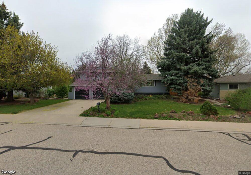
2912 Stanford Rd Fort Collins, CO 80525
Scotch Pines NeighborhoodEstimated Value: $563,795 - $663,000
3
Beds
3
Baths
2,200
Sq Ft
$278/Sq Ft
Est. Value
About This Home
This home is located at 2912 Stanford Rd, Fort Collins, CO 80525 and is currently estimated at $610,949, approximately $277 per square foot. 2912 Stanford Rd is a home located in Larimer County with nearby schools including O'Dea Elementary School, Boltz Middle School, and Fort Collins High School.
Ownership History
Date
Name
Owned For
Owner Type
Purchase Details
Closed on
May 28, 2009
Sold by
Mcduffie Morris Richard James and Mcduffie Morris Kathleen
Bought by
Glesmann Curtis
Current Estimated Value
Home Financials for this Owner
Home Financials are based on the most recent Mortgage that was taken out on this home.
Original Mortgage
$239,580
Outstanding Balance
$151,288
Interest Rate
4.76%
Mortgage Type
FHA
Estimated Equity
$459,661
Purchase Details
Closed on
May 28, 1999
Sold by
Busch S Nadine
Bought by
Mcduffie Morris Richard James and Mcduffie Morris Kathleen
Home Financials for this Owner
Home Financials are based on the most recent Mortgage that was taken out on this home.
Original Mortgage
$116,150
Interest Rate
6.91%
Create a Home Valuation Report for This Property
The Home Valuation Report is an in-depth analysis detailing your home's value as well as a comparison with similar homes in the area
Home Values in the Area
Average Home Value in this Area
Purchase History
| Date | Buyer | Sale Price | Title Company |
|---|---|---|---|
| Glesmann Curtis | $244,000 | North American Title Company | |
| Mcduffie Morris Richard James | $154,900 | -- |
Source: Public Records
Mortgage History
| Date | Status | Borrower | Loan Amount |
|---|---|---|---|
| Open | Glesmann Curtis | $239,580 | |
| Previous Owner | Mcduffie Morris Richard James | $116,150 |
Source: Public Records
Tax History Compared to Growth
Tax History
| Year | Tax Paid | Tax Assessment Tax Assessment Total Assessment is a certain percentage of the fair market value that is determined by local assessors to be the total taxable value of land and additions on the property. | Land | Improvement |
|---|---|---|---|---|
| 2025 | $3,383 | $38,940 | $3,350 | $35,590 |
| 2024 | $3,219 | $38,940 | $3,350 | $35,590 |
| 2022 | $2,734 | $28,954 | $3,475 | $25,479 |
| 2021 | $2,763 | $29,787 | $3,575 | $26,212 |
| 2020 | $2,836 | $30,316 | $3,575 | $26,741 |
| 2019 | $2,849 | $30,316 | $3,575 | $26,741 |
| 2018 | $2,455 | $26,935 | $3,600 | $23,335 |
| 2017 | $2,446 | $26,935 | $3,600 | $23,335 |
| 2016 | $2,044 | $22,391 | $3,980 | $18,411 |
| 2015 | $2,029 | $22,390 | $3,980 | $18,410 |
| 2014 | $1,752 | $19,210 | $3,980 | $15,230 |
Source: Public Records
Map
Nearby Homes
- 2900 Stanford Rd
- 2701 Stover St Unit C10
- 705 E Drake Rd Unit O35
- 2612 Harvard St
- 801 E Drake Rd Unit G82
- 3400 Stanford Rd Unit A129
- 3400 Stanford Rd Unit A120
- 3431 Stover St Unit E513
- 3431 Stover St Unit E523
- 3008 Southmoor Ct
- 512 E Monroe Dr Unit C331
- 809 E Drake Rd Unit B112
- 1001 Strachan Dr Unit 22
- 2716 Ringneck Dr
- 2442 Amherst St
- 2500 S College Ave
- 924 Vanderbilt Ct
- 813 Boltz Dr
- 401 Bluejay St
- 1024 E Swallow Rd Unit B214
- 2916 Stanford Rd
- 507 Del Clair Rd
- 511 Del Clair Rd
- 2913 Stanford Rd
- 2920 Stanford Rd
- 2917 Stanford Rd
- 2909 Stanford Rd
- 515 Del Clair Rd
- 2921 Stanford Rd
- 2905 Stanford Rd
- 2924 Stanford Rd
- 504 Del Clair Rd
- 508 Del Clair Rd
- 2901 Stanford Rd
- 500 Del Clair Rd
- 2936 Alamo Ave
- 2925 Stanford Rd
- 2930 Alamo Ave
- 512 Del Clair Rd
- 519 Del Clair Rd