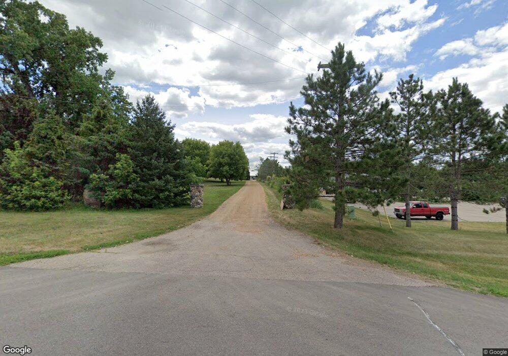
2917 133rd St W Shakopee, MN 55379
Estimated Value: $337,437
--
Bed
2
Baths
5,240
Sq Ft
$64/Sq Ft
Est. Value
About This Home
This home is located at 2917 133rd St W, Shakopee, MN 55379 and is currently priced at $337,437, approximately $64 per square foot. 2917 133rd St W is a home located in Scott County with nearby schools including Sweeney Elementary School, East Middle School, and Shakopee Senior High School.
Ownership History
Date
Name
Owned For
Owner Type
Purchase Details
Closed on
Apr 15, 2005
Sold by
United States Small Business Admin
Bought by
Silverman Stephen G
Current Estimated Value
Home Financials for this Owner
Home Financials are based on the most recent Mortgage that was taken out on this home.
Original Mortgage
$460,000
Interest Rate
5.5%
Mortgage Type
Land Contract Argmt. Of Sale
Purchase Details
Closed on
Dec 17, 1998
Sold by
Shackle Neal R and Shackle Demi A
Bought by
Monnens Jeffrey H and Hohenstein Tracy M
Create a Home Valuation Report for This Property
The Home Valuation Report is an in-depth analysis detailing your home's value as well as a comparison with similar homes in the area
Home Values in the Area
Average Home Value in this Area
Purchase History
| Date | Buyer | Sale Price | Title Company |
|---|---|---|---|
| Silverman Stephen G | $475,000 | -- | |
| Monnens Jeffrey H | $120,000 | -- |
Source: Public Records
Mortgage History
| Date | Status | Borrower | Loan Amount |
|---|---|---|---|
| Previous Owner | Silverman Stephen G | $460,000 |
Source: Public Records
Tax History Compared to Growth
Tax History
| Year | Tax Paid | Tax Assessment Tax Assessment Total Assessment is a certain percentage of the fair market value that is determined by local assessors to be the total taxable value of land and additions on the property. | Land | Improvement |
|---|---|---|---|---|
| 2025 | $13,916 | $642,800 | $262,700 | $380,100 |
| 2024 | $6,578 | $624,000 | $255,000 | $369,000 |
| 2023 | $9,762 | $611,800 | $250,000 | $361,800 |
| 2022 | $9,486 | $437,000 | $178,600 | $258,400 |
| 2021 | $10,738 | $386,100 | $178,600 | $207,500 |
| 2020 | $10,020 | $441,900 | $175,800 | $266,100 |
| 2019 | $10,992 | $413,500 | $177,200 | $236,300 |
| 2018 | $10,360 | $0 | $0 | $0 |
| 2016 | $11,506 | $0 | $0 | $0 |
Source: Public Records
Map
Nearby Homes
- 13756 Skyline Cir
- XXX Peregrine Cir
- 2080 Aquarius Dr
- 2155 Clearwater Terrace
- 2079 Rainier Dr
- 2072 Aquarius Dr
- 2149 Clearwater Terrace
- 2071 Rainier Dr
- 2121 Clearwater Terrace
- 2064 Aquarius Dr
- 2063 Rainier Dr
- 2115 Clearwater Terrace
- 2206 La Tour Dr
- 2182 Latour Dr
- 2036 Rainier Dr
- 2164 La Tour Dr
- 2205 Latour Dr
- 2146 La Tour Dr
- 2031 Rainier Dr
- 2721 Ann Dr
- 2705 Ann Dr
- 13472 Steve Dr
- 2681 Ann Dr
- 13325 Skyline Cir
- 13456 Steve Dr
- 13440 Steve Dr
- 2915 133rd St W
- 13351 Skyline Cir
- 2730 Ann Dr
- 2680 Ann Dr
- 2665 Ann Dr
- 13433 Skyline Cir
- 2670 Ann Dr
- 13482 Steve Dr
- 2725 133rd St W
- 133/ Skyline 133rd and Skyline Cir
- 133/ Skyli 133rd and Skyline Cir
- XXX 133rd
- 13485 Skyline Cir
