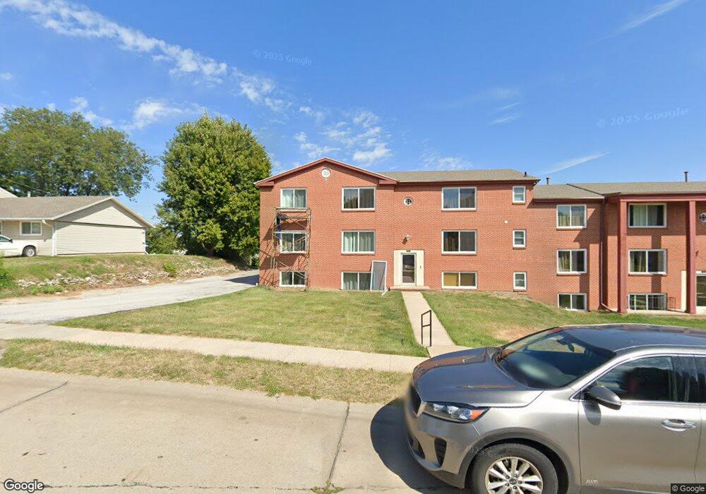
2917 S 134th Ave Omaha, NE 68144
Montclair West NeighborhoodEstimated Value: $2,296,888
3
Beds
3
Baths
19,212
Sq Ft
$120/Sq Ft
Est. Value
About This Home
This home is located at 2917 S 134th Ave, Omaha, NE 68144 and is currently estimated at $2,296,888, approximately $119 per square foot. 2917 S 134th Ave is a home located in Douglas County with nearby schools including Willa Cather Elementary School, Millard North Middle School, and Millard North High School.
Ownership History
Date
Name
Owned For
Owner Type
Purchase Details
Closed on
Jun 22, 2009
Sold by
Poage Raymond D and Poage Hazel R
Bought by
Merklen Properties Ii Llc
Current Estimated Value
Home Financials for this Owner
Home Financials are based on the most recent Mortgage that was taken out on this home.
Original Mortgage
$800,000
Outstanding Balance
$507,085
Interest Rate
4.83%
Mortgage Type
Future Advance Clause Open End Mortgage
Estimated Equity
$1,789,803
Create a Home Valuation Report for This Property
The Home Valuation Report is an in-depth analysis detailing your home's value as well as a comparison with similar homes in the area
Home Values in the Area
Average Home Value in this Area
Purchase History
| Date | Buyer | Sale Price | Title Company |
|---|---|---|---|
| Merklen Properties Ii Llc | $1,000,000 | Mrt |
Source: Public Records
Mortgage History
| Date | Status | Borrower | Loan Amount |
|---|---|---|---|
| Open | Merklen Properties Ii Llc | $800,000 |
Source: Public Records
Tax History Compared to Growth
Tax History
| Year | Tax Paid | Tax Assessment Tax Assessment Total Assessment is a certain percentage of the fair market value that is determined by local assessors to be the total taxable value of land and additions on the property. | Land | Improvement |
|---|---|---|---|---|
| 2025 | $33,879 | $2,057,200 | $92,100 | $1,965,100 |
| 2024 | $40,956 | $2,057,200 | $92,100 | $1,965,100 |
| 2023 | $40,956 | $2,057,200 | $92,100 | $1,965,100 |
| 2022 | $27,742 | $1,312,600 | $92,100 | $1,220,500 |
| 2021 | $27,598 | $1,312,600 | $92,100 | $1,220,500 |
| 2020 | $27,830 | $1,312,600 | $92,100 | $1,220,500 |
| 2019 | $27,914 | $1,312,600 | $92,100 | $1,220,500 |
| 2018 | $24,509 | $1,136,700 | $92,100 | $1,044,600 |
| 2017 | $24,149 | $1,136,700 | $92,100 | $1,044,600 |
| 2016 | $24,149 | $1,136,700 | $92,100 | $1,044,600 |
| 2015 | $24,184 | $1,136,700 | $92,100 | $1,044,600 |
| 2014 | $24,184 | $1,115,100 | $92,100 | $1,023,000 |
Source: Public Records
Map
Nearby Homes
- 13451 Kingswood Dr
- 13493 Spring St
- 13510 Atwood Ave
- 22212 Stanford St
- 13432 Valley St
- 3371 S 130th St
- 13729 Grover St
- 13580 Cedar St
- 12609 Westwood Ln
- 12756 Grover St
- 1817 Holling Dr
- 13910 Shirley St
- 2335 S 125th Ave
- 1828 Holling Dr
- 13510 Hickory Cir
- 1820 Holling Dr
- 12721 A St
- 12440 Martha St
- 2417 S 124th St
- 13629 Walnut St
- 2926 S 134th Ave
- 2918 S 134th Ave
- 2938 S 134th Ave
- 2908 S 134th Ave
- 13434 Kingswood Dr
- 13460 Kingswood Dr
- 2913 S 134th Ave
- 13465 Elm Cir
- 3008 S 134th Ave
- 13466 Kingswood Dr
- 13454 Elm Cir
- 13455 Kingswood Dr
- 13420 Kingswood Dr
- 3016 S 134th Ave
- 13435 Kingswood Dr
- 13472 Kingswood Dr
- 2824 S 134th Ave
- 13461 Kingswood Dr
- 13475 Elm Cir
- 2821 S 134th Ave