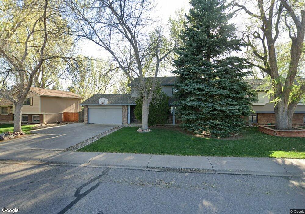
2918 Adobe Dr Fort Collins, CO 80525
Meadows East NeighborhoodEstimated Value: $485,862 - $524,000
3
Beds
2
Baths
1,440
Sq Ft
$348/Sq Ft
Est. Value
About This Home
This home is located at 2918 Adobe Dr, Fort Collins, CO 80525 and is currently estimated at $501,216, approximately $348 per square foot. 2918 Adobe Dr is a home located in Larimer County with nearby schools including Shepardson Elementary School, Lesher Middle School, and Fort Collins High School.
Ownership History
Date
Name
Owned For
Owner Type
Purchase Details
Closed on
Oct 19, 1998
Sold by
Brown Charles I Kathleen
Bought by
Green Joel A
Current Estimated Value
Home Financials for this Owner
Home Financials are based on the most recent Mortgage that was taken out on this home.
Original Mortgage
$96,000
Outstanding Balance
$20,710
Interest Rate
6.73%
Estimated Equity
$480,506
Purchase Details
Closed on
Jun 11, 1998
Sold by
Sloss Helen M
Bought by
Brown Charles I and Brown Kathleen M
Create a Home Valuation Report for This Property
The Home Valuation Report is an in-depth analysis detailing your home's value as well as a comparison with similar homes in the area
Home Values in the Area
Average Home Value in this Area
Purchase History
| Date | Buyer | Sale Price | Title Company |
|---|---|---|---|
| Green Joel A | $127,500 | Land Title | |
| Brown Charles I | -- | -- |
Source: Public Records
Mortgage History
| Date | Status | Borrower | Loan Amount |
|---|---|---|---|
| Open | Green Joel A | $96,000 |
Source: Public Records
Tax History Compared to Growth
Tax History
| Year | Tax Paid | Tax Assessment Tax Assessment Total Assessment is a certain percentage of the fair market value that is determined by local assessors to be the total taxable value of land and additions on the property. | Land | Improvement |
|---|---|---|---|---|
| 2025 | $2,767 | $32,522 | $2,412 | $30,110 |
| 2024 | $2,633 | $32,522 | $2,412 | $30,110 |
| 2022 | $2,292 | $24,276 | $2,502 | $21,774 |
| 2021 | $2,317 | $24,975 | $2,574 | $22,401 |
| 2020 | $2,198 | $23,495 | $2,574 | $20,921 |
| 2019 | $2,208 | $23,495 | $2,574 | $20,921 |
| 2018 | $1,854 | $20,347 | $2,592 | $17,755 |
| 2017 | $1,848 | $20,347 | $2,592 | $17,755 |
| 2016 | $1,675 | $18,348 | $2,866 | $15,482 |
| 2015 | $1,663 | $18,350 | $2,870 | $15,480 |
| 2014 | $1,443 | $15,820 | $2,870 | $12,950 |
Source: Public Records
Map
Nearby Homes
- 2961 Sagebrush Dr
- 3012 Sombrero Ln
- 3036 Regatta Ln Unit 2
- 1706 Lakeshore Dr
- 2750 Illinois Dr Unit 206
- 2241 Limon Dr Unit 204
- 1724 Westchester Ln
- 2926 Brookwood Place
- 2450 Windrow Dr Unit E106
- 2450 Windrow Dr Unit E203
- 2550 Custer Dr
- 1730 Tanglewood Dr
- 2521 Des Moines Dr Unit 104
- 3500 Carlton Ave Unit U49
- 2120 Katahdin Dr
- 2556 Des Moines Dr Unit 103
- 3319 Pepperwood Ln
- 2287 Trestle Rd
- 2263 Adobe Dr
- 1632 Faraday Cir
- 2930 Adobe Dr
- 2912 Adobe Dr
- 2936 Adobe Dr
- 2925 Sagebrush Dr
- 2906 Adobe Dr
- 2913 Sagebrush Dr
- 2931 Sagebrush Dr
- 2942 Adobe Dr
- 2937 Sagebrush Dr
- 2925 Adobe Dr
- 2907 Sagebrush Dr
- 2919 Adobe Dr
- 2931 Adobe Dr
- 2900 Adobe Dr
- 2913 Adobe Dr
- 2948 Adobe Dr
- 2937 Adobe Dr
- 2943 Sagebrush Dr
- 2943 Adobe Dr
- 2907 Adobe Dr