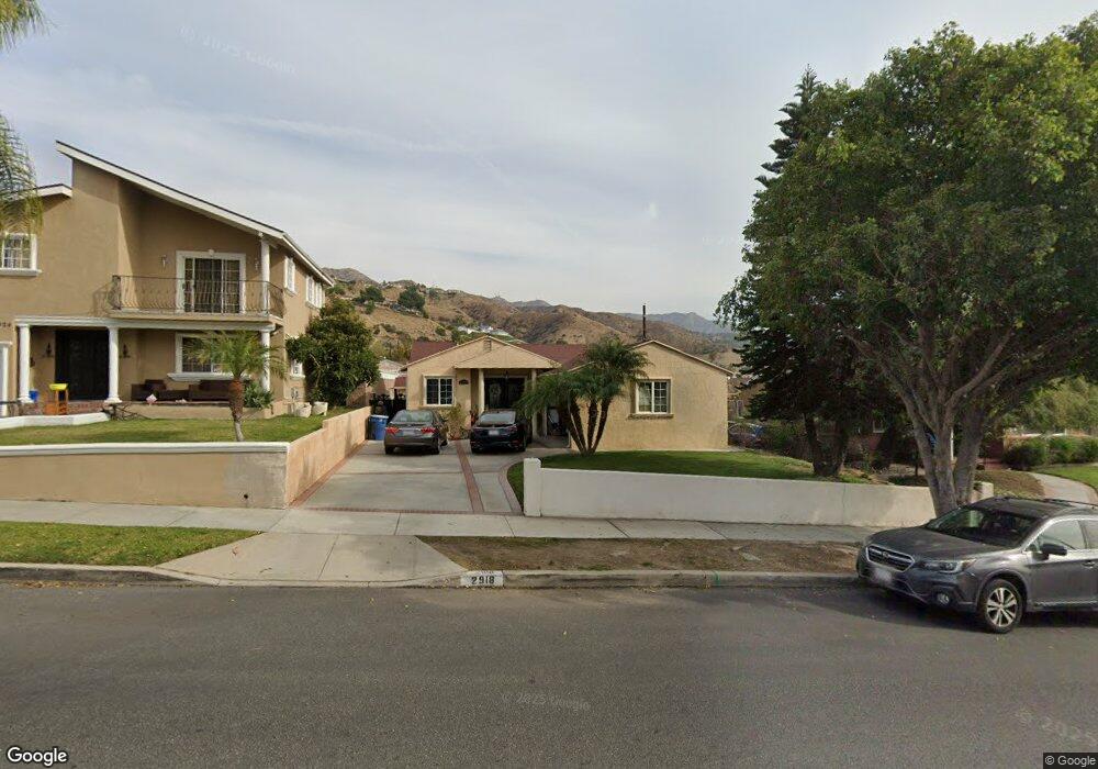
2918 Scott Rd Burbank, CA 91504
Hillside District NeighborhoodEstimated Value: $1,239,000 - $1,454,000
2
Beds
2
Baths
1,554
Sq Ft
$858/Sq Ft
Est. Value
About This Home
This home is located at 2918 Scott Rd, Burbank, CA 91504 and is currently estimated at $1,333,193, approximately $857 per square foot. 2918 Scott Rd is a home located in Los Angeles County with nearby schools including Thomas Jefferson Elementary School, John Muir Middle School, and Burbank High School.
Ownership History
Date
Name
Owned For
Owner Type
Purchase Details
Closed on
Sep 3, 1997
Sold by
Anivian Vartkes and Anivian Alice
Bought by
Akopyan Levon and Akopyan Seda
Current Estimated Value
Home Financials for this Owner
Home Financials are based on the most recent Mortgage that was taken out on this home.
Original Mortgage
$189,000
Outstanding Balance
$29,161
Interest Rate
7.42%
Mortgage Type
Seller Take Back
Estimated Equity
$1,304,032
Create a Home Valuation Report for This Property
The Home Valuation Report is an in-depth analysis detailing your home's value as well as a comparison with similar homes in the area
Home Values in the Area
Average Home Value in this Area
Purchase History
| Date | Buyer | Sale Price | Title Company |
|---|---|---|---|
| Akopyan Levon | $229,000 | Old Republic Title Company |
Source: Public Records
Mortgage History
| Date | Status | Borrower | Loan Amount |
|---|---|---|---|
| Open | Akopyan Levon | $189,000 |
Source: Public Records
Tax History
| Year | Tax Paid | Tax Assessment Tax Assessment Total Assessment is a certain percentage of the fair market value that is determined by local assessors to be the total taxable value of land and additions on the property. | Land | Improvement |
|---|---|---|---|---|
| 2025 | $4,123 | $365,629 | $230,561 | $135,068 |
| 2024 | $4,123 | $358,461 | $226,041 | $132,420 |
| 2023 | $4,080 | $351,433 | $221,609 | $129,824 |
| 2022 | $3,897 | $344,543 | $217,264 | $127,279 |
| 2021 | $3,875 | $337,788 | $213,004 | $124,784 |
| 2019 | $3,720 | $327,771 | $206,687 | $121,084 |
| 2018 | $3,610 | $321,345 | $202,635 | $118,710 |
| 2016 | $3,414 | $308,868 | $194,767 | $114,101 |
| 2015 | $3,345 | $304,230 | $191,842 | $112,388 |
| 2014 | $3,341 | $298,272 | $188,085 | $110,187 |
Source: Public Records
Map
Nearby Homes
- 2528 N Orchard Dr
- 2748 Mansfield Dr
- 2324 Harold Cir
- 2640 N Keystone St
- 2615 Woodstock Ln
- 2316 N Parish Place
- 2625 N Lincoln St
- 2227 N Lamer St
- 3003 Mesa Verde Dr
- 2031 Jolley Dr
- 7754 Via Rosa Maria
- 2014 Peyton Ave
- 441 Dartmouth Rd
- 1819 Richard St
- 1924 N Parish Place
- 505 Cambridge Dr
- 9405 Via Yolanda
- 9551 Via Ricardo
- 1814 Grismer Ave
- 8038 Via Pompeii
Your Personal Tour Guide
Ask me questions while you tour the home.