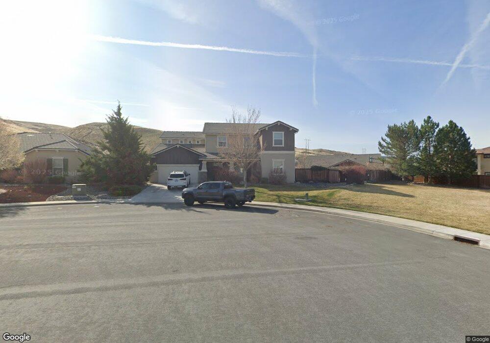
2919 Lessini Ct Sparks, NV 89434
D'Andrea NeighborhoodEstimated Value: $810,000 - $828,000
4
Beds
3
Baths
2,982
Sq Ft
$275/Sq Ft
Est. Value
About This Home
This home is located at 2919 Lessini Ct, Sparks, NV 89434 and is currently estimated at $821,399, approximately $275 per square foot. 2919 Lessini Ct is a home located in Washoe County with nearby schools including Marvin Moss Elementary School, Lou Mendive Middle School, and Edward C Reed High School.
Ownership History
Date
Name
Owned For
Owner Type
Purchase Details
Closed on
Dec 28, 2017
Sold by
Mcgarth Scott D
Bought by
Mcgarth Scott D and The Scott D Mcgarth 2017 Trust
Current Estimated Value
Purchase Details
Closed on
Dec 3, 2012
Sold by
Lennar Reno Llc
Bought by
Mcgrath Scott D
Home Financials for this Owner
Home Financials are based on the most recent Mortgage that was taken out on this home.
Original Mortgage
$323,924
Outstanding Balance
$225,796
Interest Rate
3.5%
Mortgage Type
FHA
Estimated Equity
$595,603
Purchase Details
Closed on
May 27, 2011
Sold by
Lw Dandrea Llc
Bought by
Lennar Reno Llc
Create a Home Valuation Report for This Property
The Home Valuation Report is an in-depth analysis detailing your home's value as well as a comparison with similar homes in the area
Home Values in the Area
Average Home Value in this Area
Purchase History
| Date | Buyer | Sale Price | Title Company |
|---|---|---|---|
| Mcgarth Scott D | -- | None Available | |
| Mcgrath Scott D | $330,000 | North American Title | |
| Lennar Reno Llc | -- | Ticor Title Reno |
Source: Public Records
Mortgage History
| Date | Status | Borrower | Loan Amount |
|---|---|---|---|
| Open | Mcgrath Scott D | $323,924 |
Source: Public Records
Tax History Compared to Growth
Tax History
| Year | Tax Paid | Tax Assessment Tax Assessment Total Assessment is a certain percentage of the fair market value that is determined by local assessors to be the total taxable value of land and additions on the property. | Land | Improvement |
|---|---|---|---|---|
| 2025 | $7,680 | $237,714 | $44,615 | $193,100 |
| 2024 | $7,112 | $227,878 | $38,698 | $189,181 |
| 2023 | $7,112 | $218,951 | $41,858 | $177,092 |
| 2022 | $6,588 | $179,583 | $32,414 | $147,170 |
| 2021 | $6,194 | $175,948 | $30,503 | $145,445 |
| 2020 | $5,826 | $175,554 | $29,768 | $145,786 |
| 2019 | $5,266 | $159,667 | $27,158 | $132,509 |
| 2018 | $5,024 | $149,790 | $20,984 | $128,806 |
| 2017 | $4,814 | $148,070 | $19,404 | $128,666 |
| 2016 | $4,692 | $151,174 | $18,853 | $132,321 |
| 2015 | $4,683 | $143,024 | $17,787 | $125,237 |
| 2014 | $4,031 | $113,593 | $17,714 | $95,879 |
| 2013 | -- | $107,959 | $17,126 | $90,833 |
Source: Public Records
Map
Nearby Homes
- 3001 Brachetto Loop
- 2959 Brachetto Loop
- 3238 Vincinato Dr
- 2696 Michelangelo Ct
- 2642 Alessandro Ct
- 2631 Michelangelo Ct
- 2524 Garzoni Dr
- 3375 Culpepper Dr
- 2575 Piero Ct
- 3353 Culpepper Dr
- 2552 Cosimo Ct
- 2600 Anqua Ct
- 2467 Sorrento Ct
- 2585 Anqua Dr
- 3145 Vecchio Dr
- 2535 Tuscan Way
- 2722 Ineisa Ct
- 2267 Ticino Ct
- 2316 Isabella Ct
- 2594 San Remo Dr
- 2925 Lessini Ct
- 2992 Brachetto Loop
- 2998 Brachetto Loop
- 2986 Brachetto Loop
- 3010 Brachetto Loop
- 2931 Lessini Ct
- 2916 Lessini Ct
- 2932 Brachetto Loop
- 2972 Brachetto Loop
- 3028 Brachetto Loop
- 2924 Lessini Ct
- 2918 Brachetto Loop
- 2938 Brachetto Loop
- 2995 Brachetto Loop
- 2989 Brachetto Loop
- 3042 Brachetto Loop
- 3007 Brachetto Loop
- 3007 Brachetto Loop Unit A
- 2983 Brachetto Loop
- 2950 Brachetto Loop