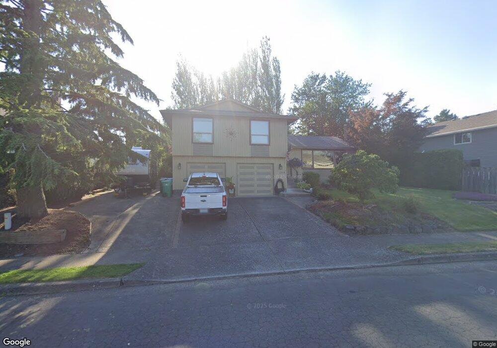
2919 SW Brixton Ave Gresham, OR 97080
Southwest Gresham NeighborhoodEstimated Value: $508,309 - $560,000
3
Beds
2
Baths
1,621
Sq Ft
$328/Sq Ft
Est. Value
About This Home
This home is located at 2919 SW Brixton Ave, Gresham, OR 97080 and is currently estimated at $531,077, approximately $327 per square foot. 2919 SW Brixton Ave is a home located in Multnomah County with nearby schools including Butler Creek Elementary School, Centennial Middle School, and Centennial High School.
Ownership History
Date
Name
Owned For
Owner Type
Purchase Details
Closed on
Jun 29, 1998
Sold by
Wood John R and Wood Colleen I
Bought by
Mitchell Daniel M and Iiams Mitchell Julie L
Current Estimated Value
Home Financials for this Owner
Home Financials are based on the most recent Mortgage that was taken out on this home.
Original Mortgage
$170,000
Outstanding Balance
$33,420
Interest Rate
7.17%
Mortgage Type
Purchase Money Mortgage
Estimated Equity
$497,657
Create a Home Valuation Report for This Property
The Home Valuation Report is an in-depth analysis detailing your home's value as well as a comparison with similar homes in the area
Home Values in the Area
Average Home Value in this Area
Purchase History
| Date | Buyer | Sale Price | Title Company |
|---|---|---|---|
| Mitchell Daniel M | $178,950 | Ticor Title Insurance |
Source: Public Records
Mortgage History
| Date | Status | Borrower | Loan Amount |
|---|---|---|---|
| Open | Mitchell Daniel M | $170,000 |
Source: Public Records
Tax History
| Year | Tax Paid | Tax Assessment Tax Assessment Total Assessment is a certain percentage of the fair market value that is determined by local assessors to be the total taxable value of land and additions on the property. | Land | Improvement |
|---|---|---|---|---|
| 2025 | $5,918 | $312,530 | -- | -- |
| 2024 | $5,669 | $303,430 | -- | -- |
| 2023 | $5,104 | $294,600 | $0 | $0 |
| 2022 | $4,915 | $286,020 | $0 | $0 |
| 2021 | $4,933 | $277,690 | $0 | $0 |
| 2020 | $4,542 | $269,610 | $0 | $0 |
| 2019 | $4,432 | $261,760 | $0 | $0 |
| 2018 | $4,251 | $254,140 | $0 | $0 |
| 2017 | $4,109 | $246,740 | $0 | $0 |
| 2016 | $3,988 | $239,560 | $0 | $0 |
Source: Public Records
Map
Nearby Homes
- 3519 SW 28th Terrace
- 2715 SW 31st St
- 2398 SW Tegart Ave
- 0 SW Battaglia Ave
- 3593 SW 37th St
- 2607 SW Pleasant View Dr
- 3607 SW 37th St
- 3610 SW 37th St
- 3605 SW 25th St
- 3544 SW Tegart Ln
- 3079 SW 22nd St
- 3813 SW Mckinley St
- 4077 SW Mckinley St Unit 37
- 4059 SW Mckinley St Unit 40
- 4055 SW Mckinley St Unit 39
- 4071 SW Mckinley St Unit 36
- 3510 SW Binford Ave
- 2652 SW Phyllis Dr
- 3542 SW Binford Ave
- 3576 SW 36th St
- 2907 SW Brixton Ave
- 2927 SW Brixton Ave
- 2924 SW Tegart Ave
- 2910 SW Tegart Ave
- 2938 SW Tegart Ave
- 3142 SW 38th St
- 2829 SW Brixton Ave
- 2916 SW Brixton Ave
- 2930 SW Brixton Ave
- 2902 SW Brixton Ave
- 2830 SW Tegart Ave
- 3122 SW 30th St
- 2826 SW Brixton Ave
- 3136 SW 30th St
- 2824 SW Tegart Ave
- 2817 SW Brixton Ave
- 2921 SW Tegart Ave
- 3042 SW 38th St
- 3042 SW 30th St
- 3206 SW 30th St
Your Personal Tour Guide
Ask me questions while you tour the home.