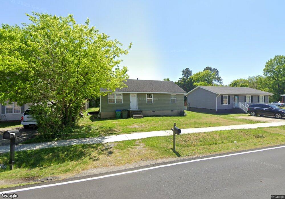
2919 Terminal Ave Richmond, VA 23234
Cullenwood NeighborhoodEstimated Value: $206,000 - $240,063
3
Beds
2
Baths
1,053
Sq Ft
$212/Sq Ft
Est. Value
About This Home
This home is located at 2919 Terminal Ave, Richmond, VA 23234 and is currently estimated at $223,516, approximately $212 per square foot. 2919 Terminal Ave is a home located in Richmond City with nearby schools including Broad Rock Elementary School, Thomas C. Boushall Middle School, and Richmond High School for the Arts.
Ownership History
Date
Name
Owned For
Owner Type
Purchase Details
Closed on
Jan 2, 1997
Bought by
Cotman Keith R
Current Estimated Value
Home Financials for this Owner
Home Financials are based on the most recent Mortgage that was taken out on this home.
Original Mortgage
$64,136
Outstanding Balance
$6,795
Interest Rate
7.48%
Mortgage Type
FHA
Estimated Equity
$216,721
Purchase Details
Closed on
Jun 27, 1996
Bought by
Watson Corporation
Purchase Details
Closed on
Feb 20, 1996
Sold by
Wiggins Dwight M and Adam N Harrell Trustee
Bought by
National Mortgage Association
Create a Home Valuation Report for This Property
The Home Valuation Report is an in-depth analysis detailing your home's value as well as a comparison with similar homes in the area
Home Values in the Area
Average Home Value in this Area
Purchase History
| Date | Buyer | Sale Price | Title Company |
|---|---|---|---|
| Cotman Keith R | $65,500 | -- | |
| Watson Corporation | $31,500 | -- | |
| National Mortgage Association | $53,500 | -- |
Source: Public Records
Mortgage History
| Date | Status | Borrower | Loan Amount |
|---|---|---|---|
| Open | National Mortgage Association | $64,136 |
Source: Public Records
Tax History Compared to Growth
Tax History
| Year | Tax Paid | Tax Assessment Tax Assessment Total Assessment is a certain percentage of the fair market value that is determined by local assessors to be the total taxable value of land and additions on the property. | Land | Improvement |
|---|---|---|---|---|
| 2025 | $2,340 | $195,000 | $63,000 | $132,000 |
| 2024 | $2,172 | $181,000 | $46,000 | $135,000 |
| 2023 | $2,064 | $172,000 | $46,000 | $126,000 |
| 2022 | $1,680 | $140,000 | $34,000 | $106,000 |
| 2021 | $1,308 | $112,000 | $25,000 | $87,000 |
| 2020 | $1,308 | $109,000 | $25,000 | $84,000 |
| 2019 | $1,212 | $101,000 | $25,000 | $76,000 |
| 2018 | $600 | $50,000 | $27,000 | $23,000 |
| 2017 | $600 | $50,000 | $27,000 | $23,000 |
| 2016 | $600 | $50,000 | $27,000 | $23,000 |
| 2015 | $504 | $50,000 | $27,000 | $23,000 |
| 2014 | $504 | $42,000 | $27,000 | $15,000 |
Source: Public Records
Map
Nearby Homes
- 3121 Lanewood Dr
- 2721 Terminal Ave
- 2717 Terminal Ave
- 2702 Cheatham St
- 3178 Zion St
- 3012 Columbia St
- 3102 Columbia St
- 2714 Alexander Ave
- 2300 Springs Rd
- 3016 Lynhaven Ave
- 2222 Concord Ave
- 2201 Cheatham St
- 2924 Glenan Dr
- 3811 Terminal Ave
- 2408 Alexander Ave
- 2511 Dana St
- 4105 Tyrone St
- 3428 Ryburn Rd
- 3006 Baronet Dr
- 1517 Bangle Dr
- 2913 Terminal Ave
- 2925 Terminal Ave
- 2907 Terminal Ave
- 2935 Terminal Ave
- 2901 Terminal Ave
- 2918 Montecrest Ave
- 2914 Montecrest Ave
- 2922 Montecrest Ave
- 2841 Terminal Ave
- 2910 Montecrest Ave
- 2926 Montecrest Ave
- 2900 Terminal Ave
- 2906 Montecrest Ave
- 2930 Montecrest Ave
- 2835 Terminal Ave
- 2900 Montecrest Ave
- 3001 Terminal Ave
- 2948 Springview Dr
- 3000 Terminal Ave
- 2921 Montecrest Ave