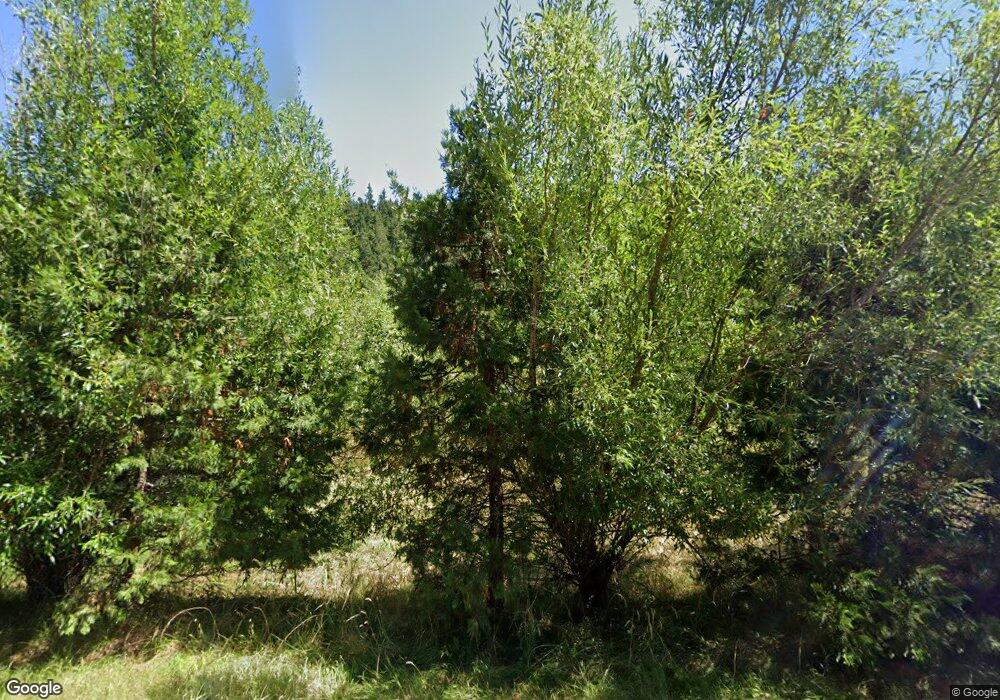
29190 Hamm Rd Eugene, OR 97405
Estimated Value: $480,712 - $684,000
2
Beds
1
Bath
1,080
Sq Ft
$509/Sq Ft
Est. Value
About This Home
This home is located at 29190 Hamm Rd, Eugene, OR 97405 and is currently estimated at $549,678, approximately $508 per square foot. 29190 Hamm Rd is a home located in Lane County with nearby schools including Creslane Elementary School, Creswell Middle School, and Creswell High School.
Ownership History
Date
Name
Owned For
Owner Type
Purchase Details
Closed on
Mar 14, 2018
Sold by
Remmers Patricia B
Bought by
Remmers Carolyn J
Current Estimated Value
Purchase Details
Closed on
Mar 5, 2018
Sold by
Remmers Patricia B
Bought by
Remmers Carolyn J
Purchase Details
Closed on
Jan 11, 2001
Sold by
Morrow Greg R and Morrow Patricia J
Bought by
Morrow Greg R and Morrow Patricia J
Purchase Details
Closed on
Aug 6, 1997
Sold by
Morrow Greg R and Morrow Patricia J
Bought by
Morrow Greg R and Morrow Patricia J
Purchase Details
Closed on
Jul 11, 1979
Sold by
Sharp Robert K and Sharp Dorothy
Bought by
Kersgaard Berntzen Inc
Create a Home Valuation Report for This Property
The Home Valuation Report is an in-depth analysis detailing your home's value as well as a comparison with similar homes in the area
Purchase History
| Date | Buyer | Sale Price | Title Company |
|---|---|---|---|
| Remmers Carolyn J | -- | None Listed On Document | |
| Remmers Carolyn J | -- | None Available | |
| Morrow Greg R | -- | Cascade Title Co | |
| Morrow Greg R | -- | -- | |
| Kersgaard Berntzen Inc | $22,500 | Oregon Title Insurance Co |
Source: Public Records
Tax History
| Year | Tax Paid | Tax Assessment Tax Assessment Total Assessment is a certain percentage of the fair market value that is determined by local assessors to be the total taxable value of land and additions on the property. | Land | Improvement |
|---|---|---|---|---|
| 2025 | $3,050 | $249,170 | -- | -- |
| 2024 | $2,953 | $241,913 | -- | -- |
| 2023 | $2,953 | $234,867 | -- | -- |
| 2022 | $2,784 | $228,027 | $0 | $0 |
| 2021 | $2,715 | $221,386 | $0 | $0 |
| 2020 | $2,667 | $214,938 | $0 | $0 |
| 2019 | $2,573 | $208,678 | $0 | $0 |
| 2018 | $2,504 | $196,699 | $0 | $0 |
| 2017 | $2,411 | $196,699 | $0 | $0 |
| 2016 | $2,127 | $190,970 | $0 | $0 |
| 2015 | $2,028 | $185,408 | $0 | $0 |
| 2014 | $1,996 | $180,008 | $0 | $0 |
Source: Public Records
Map
Nearby Homes
- 30306 Camas Swale Rd
- 81499 Territorial Hwy
- 0 Rd Unit 23082223
- 0 Sutherlin Ln Unit 1100
- 31149 Camas Swale Rd
- 28208 Cottage Grove Lorane Rd
- 27415 Siuslaw River Rd
- 80304 Old Lorane Rd
- 31725 Lynx Hollow Rd
- 85179 Forest Hill Ln
- 85254 Lorane Hwy
- 0 Siuslaw River Rd Unit 484990618
- 28198 Briggs Hill Rd
- 82964 Hungry Hill Rd
- 27004 Briggs Hill Rd
- 84771 Murdock Rd
- 28408 Spencer Creek Rd
- 000 Territorial Hwy
- 80926 Turkey Run Rd
- 79128 Territorial Hwy
Your Personal Tour Guide
Ask me questions while you tour the home.
