Estimated Value: $558,739 - $676,000
3
Beds
2
Baths
2,314
Sq Ft
$269/Sq Ft
Est. Value
About This Home
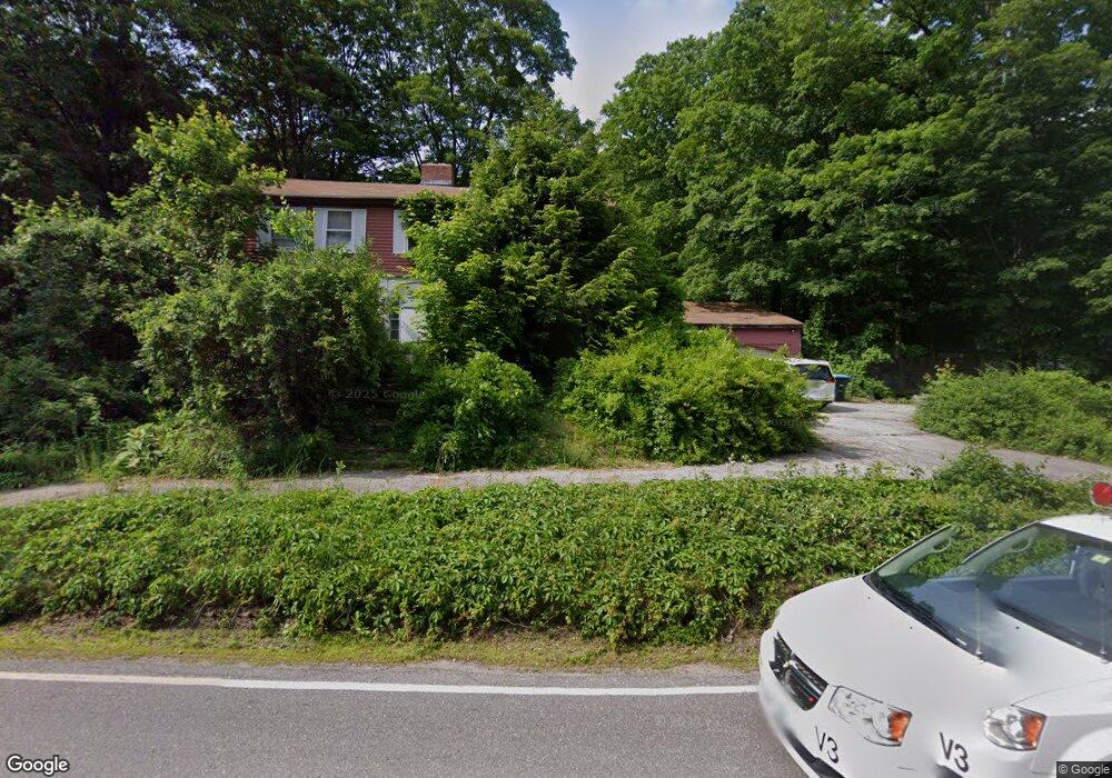
This home is located at 292 Hampstead Rd, Derry, NH 03038 and is currently estimated at $621,435, approximately $268 per square foot. 292 Hampstead Rd is a home located in Rockingham County with nearby schools including East Derry Memorial Elementary School, Gilbert H. Hood Middle School, and Pinkerton Academy.
Ownership History
Date
Name
Owned For
Owner Type
Purchase Details
Closed on
Sep 4, 1998
Sold by
Mast Thomas H and Mast Susan B
Bought by
Maclachl Christopher L
Current Estimated Value
Home Financials for this Owner
Home Financials are based on the most recent Mortgage that was taken out on this home.
Original Mortgage
$116,000
Interest Rate
6.9%
Create a Home Valuation Report for This Property
The Home Valuation Report is an in-depth analysis detailing your home's value as well as a comparison with similar homes in the area
Home Values in the Area
Average Home Value in this Area
Purchase History
| Date | Buyer | Sale Price | Title Company |
|---|---|---|---|
| Maclachl Christopher L | $145,000 | -- |
Source: Public Records
Mortgage History
| Date | Status | Borrower | Loan Amount |
|---|---|---|---|
| Open | Maclachl Christopher L | $148,000 | |
| Closed | Maclachl Christopher L | $116,000 |
Source: Public Records
Tax History Compared to Growth
Tax History
| Year | Tax Paid | Tax Assessment Tax Assessment Total Assessment is a certain percentage of the fair market value that is determined by local assessors to be the total taxable value of land and additions on the property. | Land | Improvement |
|---|---|---|---|---|
| 2024 | $9,005 | $481,800 | $227,900 | $253,900 |
| 2023 | $8,611 | $416,400 | $193,700 | $222,700 |
| 2022 | $7,928 | $416,400 | $193,700 | $222,700 |
| 2021 | $7,881 | $318,300 | $153,600 | $164,700 |
| 2020 | $7,747 | $318,300 | $153,600 | $164,700 |
| 2019 | $3,655 | $274,900 | $124,000 | $150,900 |
| 2018 | $7,568 | $274,900 | $124,000 | $150,900 |
| 2017 | $2,749 | $254,300 | $117,000 | $137,300 |
| 2016 | $2,735 | $254,300 | $117,000 | $137,300 |
| 2015 | $6,933 | $237,200 | $117,000 | $120,200 |
| 2014 | $6,970 | $236,900 | $117,000 | $119,900 |
| 2013 | $6,660 | $211,500 | $107,000 | $104,500 |
Source: Public Records
Map
Nearby Homes
- 264 Hampstead Rd
- 4 Sheldon Rd
- 5 Sheldon Rd
- 1 Cameron Ct Unit 1
- 20 Richardson Dr Unit R
- 37 Houstons Way
- 73 Drew Rd
- 45 Damren Rd
- 50 Page Ln
- 648 Haverhill Rd
- 313 Main St
- 7 Desforge Ln Unit R
- 10 Pinewood Dr
- 18 Lorri Rd
- 156 Little Mill Rd Unit A
- 4 Colony Brook Ln
- 23 Stonegate Ln
- 2 Remington Ct
- 33 Johnson Meadow Rd Unit A & B
- 19 Johnson Meadow Rd Unit A & B
- 299 Hampstead Rd
- 294 Hampstead Rd
- 294 Hampstead Rd
- 294 Hampstead Rd
- 294 Hampstead Rd
- 295 Hampstead Rd
- 284 Hampstead Rd
- 303 Hampstead Rd R 151
- 303 Hampstead Rd
- 2 Spollett Dr
- 4 Spollett Dr
- 301 Hampstead Rd
- 282 Hampstead Rd
- 6 Spollett Dr
- 8 Spollett Dr
- 300 Hampstead Rd
- 10 Spollett Dr
- 293 Hampstead Rd
- 305 Hampstead Rd
- 280 Hampstead Rd