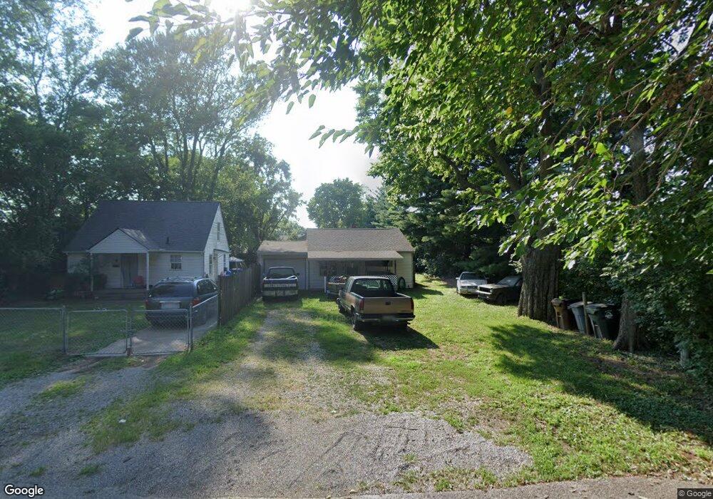
2920 Mohawk St Middletown, OH 45044
Amanda-Oneida NeighborhoodEstimated Value: $67,000 - $80,000
2
Beds
1
Bath
624
Sq Ft
$121/Sq Ft
Est. Value
About This Home
This home is located at 2920 Mohawk St, Middletown, OH 45044 and is currently estimated at $75,557, approximately $121 per square foot. 2920 Mohawk St is a home located in Butler County with nearby schools including Amanda Elementary School, Highview 6th Grade Center, and Middletown Middle School.
Ownership History
Date
Name
Owned For
Owner Type
Purchase Details
Closed on
May 2, 2013
Sold by
Brindle James A
Bought by
Chambers William and Xi Zhang
Current Estimated Value
Purchase Details
Closed on
Oct 22, 2002
Sold by
Hud
Bought by
Brindle James A
Purchase Details
Closed on
Apr 23, 2002
Sold by
Mason Terry W
Bought by
Hud
Purchase Details
Closed on
Jul 28, 2000
Sold by
Mae Tabor Dessie and Mae James
Bought by
Mason Terry W
Home Financials for this Owner
Home Financials are based on the most recent Mortgage that was taken out on this home.
Original Mortgage
$47,607
Interest Rate
8.19%
Mortgage Type
FHA
Create a Home Valuation Report for This Property
The Home Valuation Report is an in-depth analysis detailing your home's value as well as a comparison with similar homes in the area
Home Values in the Area
Average Home Value in this Area
Purchase History
| Date | Buyer | Sale Price | Title Company |
|---|---|---|---|
| Chambers William | $6,593 | None Available | |
| Brindle James A | $33,000 | Lakeside Title & Escrow Agen | |
| Hud | $34,000 | -- | |
| Mason Terry W | $48,000 | Midland Title Security Inc |
Source: Public Records
Mortgage History
| Date | Status | Borrower | Loan Amount |
|---|---|---|---|
| Previous Owner | Mason Terry W | $47,607 |
Source: Public Records
Tax History
| Year | Tax Paid | Tax Assessment Tax Assessment Total Assessment is a certain percentage of the fair market value that is determined by local assessors to be the total taxable value of land and additions on the property. | Land | Improvement |
|---|---|---|---|---|
| 2025 | $810 | $15,290 | $3,100 | $12,190 |
| 2024 | $810 | $15,290 | $3,100 | $12,190 |
| 2023 | $805 | $15,290 | $3,100 | $12,190 |
| 2022 | $417 | $7,000 | $1,740 | $5,260 |
| 2021 | $402 | $7,000 | $1,740 | $5,260 |
| 2020 | $418 | $7,000 | $1,740 | $5,260 |
| 2019 | $507 | $7,000 | $1,740 | $5,260 |
| 2018 | $453 | $7,000 | $1,740 | $5,260 |
| 2017 | $740 | $11,410 | $2,840 | $8,570 |
| 2016 | $228 | $3,360 | $2,840 | $520 |
| 2015 | $224 | $3,360 | $2,840 | $520 |
| 2014 | $462 | $3,360 | $2,840 | $520 |
| 2013 | $462 | $11,620 | $2,840 | $8,780 |
Source: Public Records
Map
Nearby Homes
- 2804 Yankee Rd
- 3102 Omaha St
- 1613 Sheridan Ave
- 3111 Omaha St
- 2924 Seneca St
- 3210 Finley St
- 3113 Rufus St
- 1505 Pershing Ave
- 3222 Mohawk St
- 3106 Rufus St
- 3209 Rufus St
- 1808 Meadow Ave
- 2220 Yankee Rd
- 1401 Hood Ave
- 1507 Meadow Ave
- 1621 Lafayette Ave
- 1619 Lafayette Ave
- 1503 Brown St
- 2216 Carolina St
- 1815 Baltimore St
Your Personal Tour Guide
Ask me questions while you tour the home.