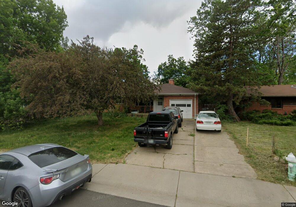
2921 21st St Boulder, CO 80304
Central Boulder NeighborhoodEstimated Value: $952,000 - $1,388,000
3
Beds
3
Baths
1,364
Sq Ft
$785/Sq Ft
Est. Value
About This Home
This home is located at 2921 21st St, Boulder, CO 80304 and is currently estimated at $1,070,287, approximately $784 per square foot. 2921 21st St is a home located in Boulder County with nearby schools including Columbine Elementary School, Casey Middle School, and Boulder High School.
Ownership History
Date
Name
Owned For
Owner Type
Purchase Details
Closed on
Sep 29, 1998
Sold by
Schwab John W and Schwab Abby W
Bought by
Shonle Michael Kramer
Current Estimated Value
Home Financials for this Owner
Home Financials are based on the most recent Mortgage that was taken out on this home.
Original Mortgage
$204,000
Outstanding Balance
$44,741
Interest Rate
6.92%
Estimated Equity
$1,025,546
Purchase Details
Closed on
Apr 16, 1997
Sold by
Strassberg Kenneth R and Rose Marie
Bought by
Schwab John W
Home Financials for this Owner
Home Financials are based on the most recent Mortgage that was taken out on this home.
Original Mortgage
$188,000
Interest Rate
7.62%
Purchase Details
Closed on
Oct 1, 1984
Bought by
Shonle Michael Kramer and Shonle Rakhshanda Salee
Purchase Details
Closed on
Jul 5, 1984
Bought by
Shonle Michael Kramer and Shonle Rakhshanda Salee
Create a Home Valuation Report for This Property
The Home Valuation Report is an in-depth analysis detailing your home's value as well as a comparison with similar homes in the area
Home Values in the Area
Average Home Value in this Area
Purchase History
| Date | Buyer | Sale Price | Title Company |
|---|---|---|---|
| Shonle Michael Kramer | $255,000 | -- | |
| Schwab John W | $235,000 | -- | |
| Shonle Michael Kramer | $122,000 | -- | |
| Shonle Michael Kramer | $98,500 | -- |
Source: Public Records
Mortgage History
| Date | Status | Borrower | Loan Amount |
|---|---|---|---|
| Open | Shonle Michael Kramer | $204,000 | |
| Previous Owner | Schwab John W | $188,000 |
Source: Public Records
Tax History Compared to Growth
Tax History
| Year | Tax Paid | Tax Assessment Tax Assessment Total Assessment is a certain percentage of the fair market value that is determined by local assessors to be the total taxable value of land and additions on the property. | Land | Improvement |
|---|---|---|---|---|
| 2025 | $5,938 | $66,825 | $59,369 | $7,456 |
| 2024 | $5,938 | $66,825 | $59,369 | $7,456 |
| 2023 | $6,777 | $66,665 | $51,932 | $18,418 |
| 2022 | $5,794 | $61,584 | $47,455 | $14,129 |
| 2021 | $5,528 | $63,356 | $48,820 | $14,536 |
| 2020 | $4,731 | $54,347 | $43,472 | $10,875 |
| 2019 | $4,658 | $54,347 | $43,472 | $10,875 |
| 2018 | $4,213 | $48,593 | $38,880 | $9,713 |
| 2017 | $4,081 | $53,722 | $42,984 | $10,738 |
| 2016 | $3,755 | $43,374 | $34,706 | $8,668 |
| 2015 | $3,555 | $37,499 | $18,626 | $18,873 |
| 2014 | $3,153 | $37,499 | $18,626 | $18,873 |
Source: Public Records
Map
Nearby Homes
- 2941 21st St
- 2935 19th St
- 2283 Nicholl St E
- 2870 18th St
- 3055 23rd St
- 2085 Balsam Dr
- 1895 Alpine Ave Unit G21
- 1895 Alpine Ave Unit E18
- 2206 Alpine Dr
- 3010 14th St
- 1930 Grape Ave
- 1707 Grape Ave
- 2991 25th St
- 2240 Bluff St
- 2006 Joslyn Place
- 2335 23rd St
- 2435 Hawthorn Ave
- 1845 Iris Ave
- 2680 Fremont St
- 1717 Iris Ave