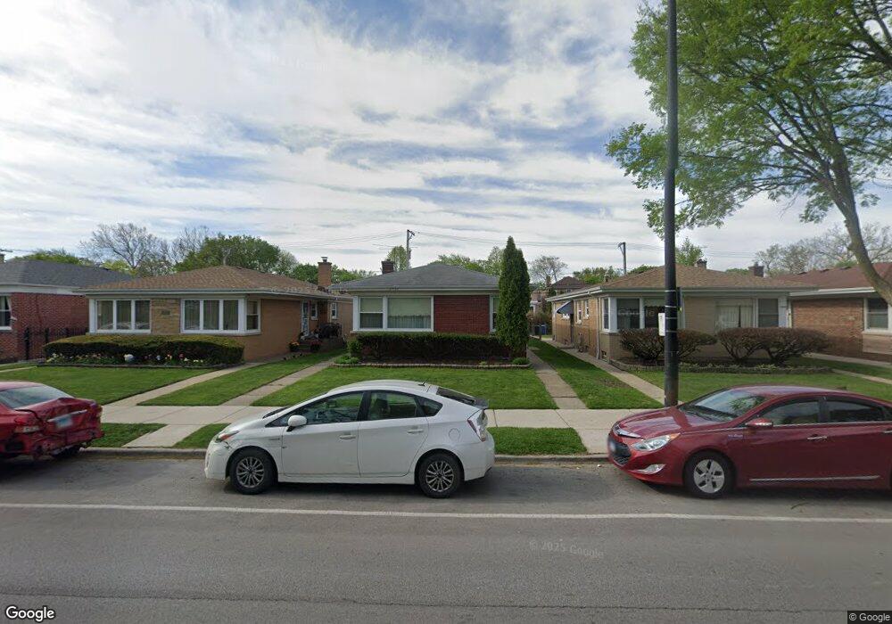
2921 W Howard St Chicago, IL 60645
West Ridge NeighborhoodEstimated Value: $442,000 - $511,000
3
Beds
2
Baths
1,322
Sq Ft
$361/Sq Ft
Est. Value
About This Home
This home is located at 2921 W Howard St, Chicago, IL 60645 and is currently estimated at $477,313, approximately $361 per square foot. 2921 W Howard St is a home located in Cook County with nearby schools including Rogers Elementary School, Mather High School, and Acero - Sor Juana Ines de la Cruz School.
Ownership History
Date
Name
Owned For
Owner Type
Purchase Details
Closed on
Jul 22, 1998
Sold by
Rocha Fernando and Rocha Bertha L
Bought by
Huang Susan
Current Estimated Value
Purchase Details
Closed on
Nov 10, 1993
Sold by
Bedrio Sargis and Bedrio Shamiram
Bought by
Rocha Fernando and Rocha Bertha Irene
Home Financials for this Owner
Home Financials are based on the most recent Mortgage that was taken out on this home.
Original Mortgage
$155,000
Interest Rate
6.92%
Create a Home Valuation Report for This Property
The Home Valuation Report is an in-depth analysis detailing your home's value as well as a comparison with similar homes in the area
Home Values in the Area
Average Home Value in this Area
Purchase History
| Date | Buyer | Sale Price | Title Company |
|---|---|---|---|
| Huang Susan | $190,000 | Chicago Title Insurance Co | |
| Rocha Fernando | $113,333 | -- |
Source: Public Records
Mortgage History
| Date | Status | Borrower | Loan Amount |
|---|---|---|---|
| Previous Owner | Rocha Fernando | $155,000 |
Source: Public Records
Tax History Compared to Growth
Tax History
| Year | Tax Paid | Tax Assessment Tax Assessment Total Assessment is a certain percentage of the fair market value that is determined by local assessors to be the total taxable value of land and additions on the property. | Land | Improvement |
|---|---|---|---|---|
| 2024 | $4,740 | $37,000 | $11,625 | $25,375 |
| 2023 | $4,767 | $35,000 | $9,300 | $25,700 |
| 2022 | $4,767 | $35,000 | $9,300 | $25,700 |
| 2021 | $4,538 | $35,000 | $9,300 | $25,700 |
| 2020 | $4,822 | $27,228 | $6,742 | $20,486 |
| 2019 | $5,383 | $30,220 | $6,742 | $23,478 |
| 2018 | $5,621 | $31,889 | $6,742 | $25,147 |
| 2017 | $5,393 | $28,429 | $6,045 | $22,384 |
| 2016 | $5,194 | $28,429 | $6,045 | $22,384 |
| 2015 | $4,729 | $28,429 | $6,045 | $22,384 |
| 2014 | $4,038 | $24,333 | $5,580 | $18,753 |
| 2013 | $3,947 | $24,333 | $5,580 | $18,753 |
Source: Public Records
Map
Nearby Homes
- 3024 W Fargo Ave
- 2011 Brummel St
- 220 Richmond St
- 235 Richmond St
- 215 Brown Ave
- 7433 N Washtenaw Ave
- 1615 W Howard St Unit 303
- 3123 W Chase Ave
- 309 Darrow Ave
- 2522 W Jarvis Ave
- 2650 W Touhy Ave
- 401 Dewey Ave
- 7141 N Kedzie Ave Unit 406
- 7141 N Kedzie Ave Unit 1515
- 7141 N Kedzie Ave Unit 1209
- 7141 N Kedzie Ave Unit 403
- 1406 Brummel St
- 347 Florence Ave
- 1810 South Blvd
- 1927 Warren St
- 2925 W Howard St
- 2917 W Howard St
- 2913 W Howard St
- 2929 W Howard St
- 2933 W Howard St
- 2909 W Howard St
- 2935 W Howard St
- 2905 W Howard St
- 2920 W Jerome St
- 2924 W Jerome St
- 2916 W Jerome St
- 2912 W Jerome St
- 2926 W Jerome St
- 2937 W Howard St
- 2928 W Jerome St
- 2910 W Jerome St
- 2107 W Howard St Unit 1E
- 2107 W Howard St Unit 2E
- 2129 W Howard St
- 2930 W Jerome St