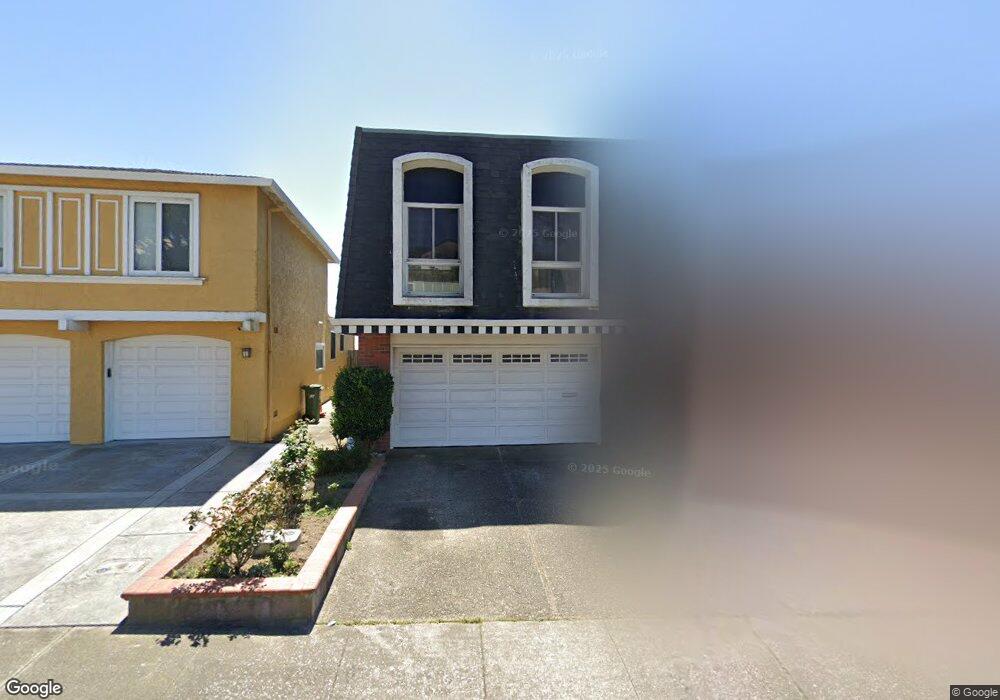
293 Dennis Dr Daly City, CA 94015
Serramonte NeighborhoodEstimated Value: $1,299,000 - $1,358,000
3
Beds
2
Baths
1,980
Sq Ft
$675/Sq Ft
Est. Value
About This Home
This home is located at 293 Dennis Dr, Daly City, CA 94015 and is currently estimated at $1,335,652, approximately $674 per square foot. 293 Dennis Dr is a home located in San Mateo County with nearby schools including Skyline Elementary School, Westborough Middle School, and El Camino High School.
Ownership History
Date
Name
Owned For
Owner Type
Purchase Details
Closed on
Apr 21, 2017
Sold by
Roybal Pilar N
Bought by
Roybal Pilar N
Current Estimated Value
Purchase Details
Closed on
Jul 19, 2011
Sold by
Roybal Pilar N
Bought by
Roybal Pilar N
Home Financials for this Owner
Home Financials are based on the most recent Mortgage that was taken out on this home.
Original Mortgage
$383,000
Outstanding Balance
$262,745
Interest Rate
4.45%
Mortgage Type
New Conventional
Estimated Equity
$1,072,907
Purchase Details
Closed on
Apr 12, 2003
Sold by
Roybal Rudolph C and Roybal Pilar N
Bought by
Roybal Rudolph C and Roybal Pilar N
Create a Home Valuation Report for This Property
The Home Valuation Report is an in-depth analysis detailing your home's value as well as a comparison with similar homes in the area
Home Values in the Area
Average Home Value in this Area
Purchase History
| Date | Buyer | Sale Price | Title Company |
|---|---|---|---|
| Roybal Pilar N | -- | None Available | |
| Roybal Pilar N | -- | Multiple | |
| Roybal Rudolph C | -- | -- |
Source: Public Records
Mortgage History
| Date | Status | Borrower | Loan Amount |
|---|---|---|---|
| Open | Roybal Pilar N | $383,000 |
Source: Public Records
Tax History Compared to Growth
Tax History
| Year | Tax Paid | Tax Assessment Tax Assessment Total Assessment is a certain percentage of the fair market value that is determined by local assessors to be the total taxable value of land and additions on the property. | Land | Improvement |
|---|---|---|---|---|
| 2025 | $2,052 | $117,023 | $19,554 | $97,469 |
| 2023 | $2,052 | $112,481 | $18,796 | $93,685 |
| 2022 | $1,729 | $110,277 | $18,428 | $91,849 |
| 2021 | $1,763 | $108,116 | $18,067 | $90,049 |
| 2020 | $1,530 | $107,008 | $17,882 | $89,126 |
| 2019 | $1,468 | $104,911 | $17,532 | $87,379 |
| 2018 | $1,442 | $102,855 | $17,189 | $85,666 |
| 2017 | $1,173 | $100,839 | $16,852 | $83,987 |
| 2016 | $1,140 | $98,863 | $16,522 | $82,341 |
| 2015 | $1,189 | $97,379 | $16,274 | $81,105 |
| 2014 | $1,159 | $95,473 | $15,956 | $79,517 |
Source: Public Records
Map
Nearby Homes
- 109 Lycett Cir
- 257 Hampshire Ct
- 3855 Carter Dr Unit 101
- 3885 Carter Dr Unit 307
- 3836 Carter Dr
- 2679 Sean Ct
- 3639 Erris Ct
- 286 Barbara Ln
- 289 Barbara Ln
- 2779 Duhallow Way
- 2210 Gellert Blvd Unit 5111
- 672 Claridge Dr
- 656 Forest Lake Dr
- 2575 Bantry Ln
- 3550 Carter Dr Unit 30
- 3550 Carter Dr Unit 65
- 2504 Ardee Ln
- 2410 Bantry Ln
- 2449 Unwin Ct
- 720 Lockhaven Dr