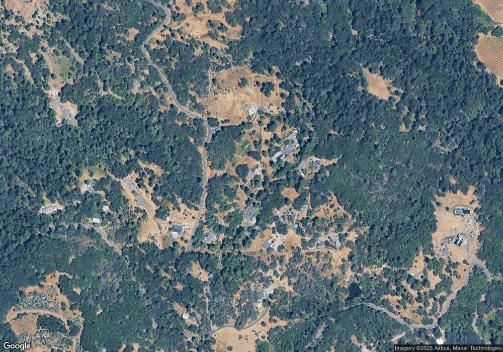
2934 Toomes Ln Camino, CA 95709
Estimated Value: $206,000 - $568,000
3
Beds
2
Baths
1,502
Sq Ft
$295/Sq Ft
Est. Value
About This Home
This home is located at 2934 Toomes Ln, Camino, CA 95709 and is currently estimated at $442,942, approximately $294 per square foot. 2934 Toomes Ln is a home located in El Dorado County with nearby schools including Camino Elementary School and El Dorado High School.
Ownership History
Date
Name
Owned For
Owner Type
Purchase Details
Closed on
Nov 13, 2024
Sold by
Peek Tamara L
Bought by
Peek Revocable Trust and Peek
Current Estimated Value
Purchase Details
Closed on
Aug 26, 2011
Sold by
Tombs Elaine G
Bought by
Peek Dennis William and Peek Tamara L
Home Financials for this Owner
Home Financials are based on the most recent Mortgage that was taken out on this home.
Original Mortgage
$195,957
Interest Rate
4.46%
Mortgage Type
VA
Purchase Details
Closed on
Oct 23, 2003
Sold by
Tombs Ray R and Tombs Elaine G
Bought by
Tombs Ray R and Tombs Elaine G
Create a Home Valuation Report for This Property
The Home Valuation Report is an in-depth analysis detailing your home's value as well as a comparison with similar homes in the area
Home Values in the Area
Average Home Value in this Area
Purchase History
| Date | Buyer | Sale Price | Title Company |
|---|---|---|---|
| Peek Revocable Trust | -- | None Listed On Document | |
| Peek Revocable Trust | -- | None Listed On Document | |
| Peek Dennis William | $197,000 | Placer Title Company | |
| Tombs Ray R | -- | -- |
Source: Public Records
Mortgage History
| Date | Status | Borrower | Loan Amount |
|---|---|---|---|
| Previous Owner | Peek Dennis William | $195,957 |
Source: Public Records
Tax History Compared to Growth
Tax History
| Year | Tax Paid | Tax Assessment Tax Assessment Total Assessment is a certain percentage of the fair market value that is determined by local assessors to be the total taxable value of land and additions on the property. | Land | Improvement |
|---|---|---|---|---|
| 2025 | $2,570 | $247,426 | $94,195 | $153,231 |
| 2024 | $2,570 | $242,576 | $92,349 | $150,227 |
| 2023 | $2,517 | $237,821 | $90,539 | $147,282 |
| 2022 | $2,481 | $233,159 | $88,764 | $144,395 |
| 2021 | $2,447 | $228,588 | $87,024 | $141,564 |
| 2020 | $2,413 | $226,245 | $86,132 | $140,113 |
| 2019 | $2,376 | $221,810 | $84,444 | $137,366 |
| 2018 | $2,308 | $217,462 | $82,789 | $134,673 |
| 2017 | $2,264 | $213,199 | $81,166 | $132,033 |
| 2016 | $2,236 | $209,020 | $79,575 | $129,445 |
| 2015 | $2,143 | $205,882 | $78,381 | $127,501 |
| 2014 | $2,107 | $201,851 | $76,847 | $125,004 |
Source: Public Records
Map
Nearby Homes
- 2700 Dancing Oaks Rd
- 6060 Keeble Ln
- 7161 Kona Dr
- 2360 Union Ridge Rd
- 1072 Champagne Ln
- 2500 Highway 50
- 3500 Magpie Ln
- 2451 Kingsgate Rd
- 2900 Parkway Dr Unit 12
- 2900 Parkway Dr Unit 2
- 2629 Shilo Dr
- 3092 Carson Rd
- 2399 Kingsgate Rd
- 3053 Five Mile Rd
- 3000 Gravel Ct
- 2721 Dyer Way
- 2640 Sky Ranch Ln
- 2750 Kingfisher Ln
- 9030 Orval Beckett Ct
- 2060 Broadway
- 2960 Toomes Ln
- 2895 Observatory Dr
- 2925 Observatory Dr
- 2941 Toomes Ln
- 2900 Observatory Dr
- 2820 Greenbrook Dr
- 2760 Greenbrook Dr
- 2949 Observatory Dr
- 2885 Observatory Dr
- 2761 Greenbrook Dr
- 2831 Hassler Rd
- 2801 Hassler Rd
- 2855 Hassler Rd
- 2985 Hassler Rd
- 2841 Greenbrook Dr
- 3011 Hassler Rd
- 2775 Hassler Rd
- 2880 Hassler Rd
- 2766 Hassler Rd
- 2909 Greenbrook Dr
