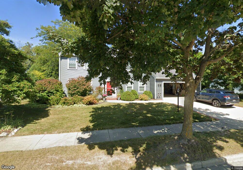
2934 Willard Ln Waukesha, WI 53188
Estimated Value: $521,353 - $584,000
4
Beds
3
Baths
2,327
Sq Ft
$240/Sq Ft
Est. Value
About This Home
This home is located at 2934 Willard Ln, Waukesha, WI 53188 and is currently estimated at $557,588, approximately $239 per square foot. 2934 Willard Ln is a home located in Waukesha County with nearby schools including Meadowbrook Elementary School, Butler Middle School, and North High School.
Ownership History
Date
Name
Owned For
Owner Type
Purchase Details
Closed on
Apr 6, 2004
Sold by
Mikula Corrine C and Mikula David A
Bought by
Parker James E and Laughlin Parker Kelly A
Current Estimated Value
Home Financials for this Owner
Home Financials are based on the most recent Mortgage that was taken out on this home.
Original Mortgage
$227,200
Outstanding Balance
$105,424
Interest Rate
5.46%
Mortgage Type
Purchase Money Mortgage
Estimated Equity
$452,164
Create a Home Valuation Report for This Property
The Home Valuation Report is an in-depth analysis detailing your home's value as well as a comparison with similar homes in the area
Home Values in the Area
Average Home Value in this Area
Purchase History
| Date | Buyer | Sale Price | Title Company |
|---|---|---|---|
| Parker James E | $284,000 | Priority Title Corporation |
Source: Public Records
Mortgage History
| Date | Status | Borrower | Loan Amount |
|---|---|---|---|
| Open | Parker James E | $227,200 |
Source: Public Records
Tax History Compared to Growth
Tax History
| Year | Tax Paid | Tax Assessment Tax Assessment Total Assessment is a certain percentage of the fair market value that is determined by local assessors to be the total taxable value of land and additions on the property. | Land | Improvement |
|---|---|---|---|---|
| 2024 | $7,030 | $468,300 | $95,200 | $373,100 |
| 2023 | $6,852 | $468,300 | $95,200 | $373,100 |
| 2022 | $5,970 | $308,300 | $103,500 | $204,800 |
| 2021 | $6,120 | $308,300 | $103,500 | $204,800 |
| 2020 | $5,899 | $308,300 | $103,500 | $204,800 |
| 2019 | $5,723 | $308,300 | $103,500 | $204,800 |
| 2018 | $5,401 | $285,500 | $89,400 | $196,100 |
| 2017 | $5,376 | $285,500 | $89,400 | $196,100 |
| 2016 | $5,358 | $266,800 | $84,700 | $182,100 |
| 2015 | $5,323 | $266,800 | $84,700 | $182,100 |
| 2014 | $5,228 | $251,700 | $84,700 | $167,000 |
| 2013 | $5,228 | $251,700 | $84,700 | $167,000 |
Source: Public Records
Map
Nearby Homes
- 2912 Willard Ln
- 3014 Plymouth Ct
- 2312 Judith Ln
- The Adalyn Plan at Tallgrass - Villas
- 2106 Bluestem Dr Unit 1301
- 2127 Bluestem Dr Unit 101
- 2119 Bluestem Dr Unit 201
- 2108 Bluestem Dr Unit 1302
- 2125 Bluestem Dr Unit 102
- 2117 Bluestem Dr Unit 202
- 2605 Emslie Dr
- 2728 Northview Rd Unit 61
- 2732 Northview Rd Unit 88
- 2912 N University Dr Unit 305
- 2912 N University Dr Unit 208
- 2145 Broken Hill Rd Unit 5
- 1917 Tree Line Ct
- W276N544 Arrowhead Trail
- 2339 Bramblewood Ct
- N15W26518 Tall Reeds Ln Unit C
- 2929 Devonshire Ct
- 2938 Willard Ln
- 2933 Devonshire Ct
- 2925 Devonshire Ct
- 2931 Willard Ln
- 2944 Willard Ln
- 2927 Willard Ln
- 2939 Willard Ln
- 2603 Lancaster Dr
- 2924 Willard Ln
- 2921 Devonshire Ct
- 2607 Lancaster Dr
- 2923 Willard Ln
- 2534 Lancaster Dr
- 2527 Lancaster Dr
- 2920 Willard Ln
- 2938 Rolling Ridge Dr
- 2606 Lancaster Dr
- 2919 Willard Ln
- 2530 Lancaster Dr